
Grand Canyon, sunrise with a few hundred others
/
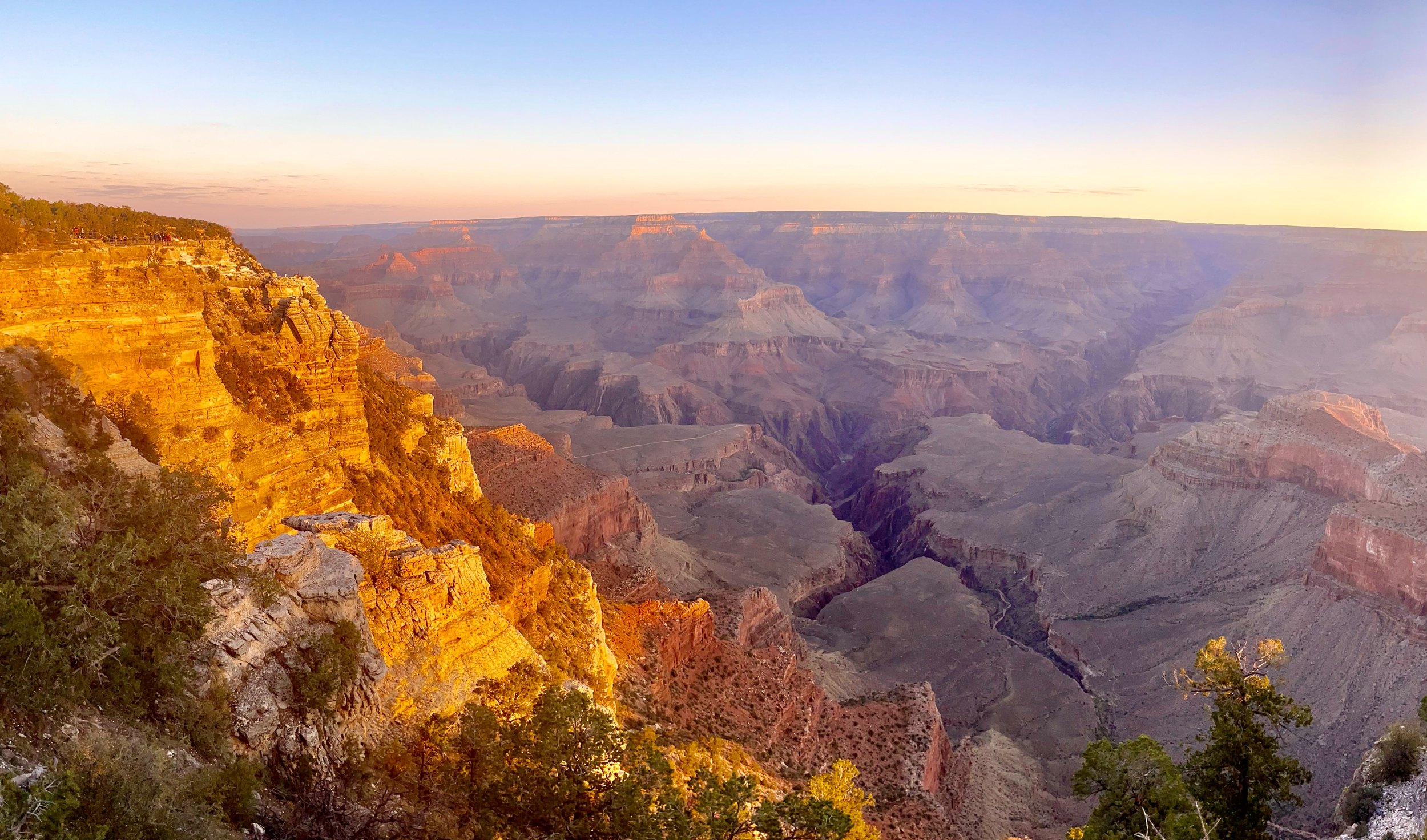
We got up at 4:30 AM in order to be at Grand Canyon for sunrise at 6:15 AM. The drive in the dark from Williams was uneventful, except for a near collision with an elk that seemed to think that he owned the road.
Sunrise at Mather Point
Once at Grand Canyon we proceeded to Mather Point for sunrise, together with hundreds of other tourists. Sunrise was very good but not spectacular by Grand Canyon standards.
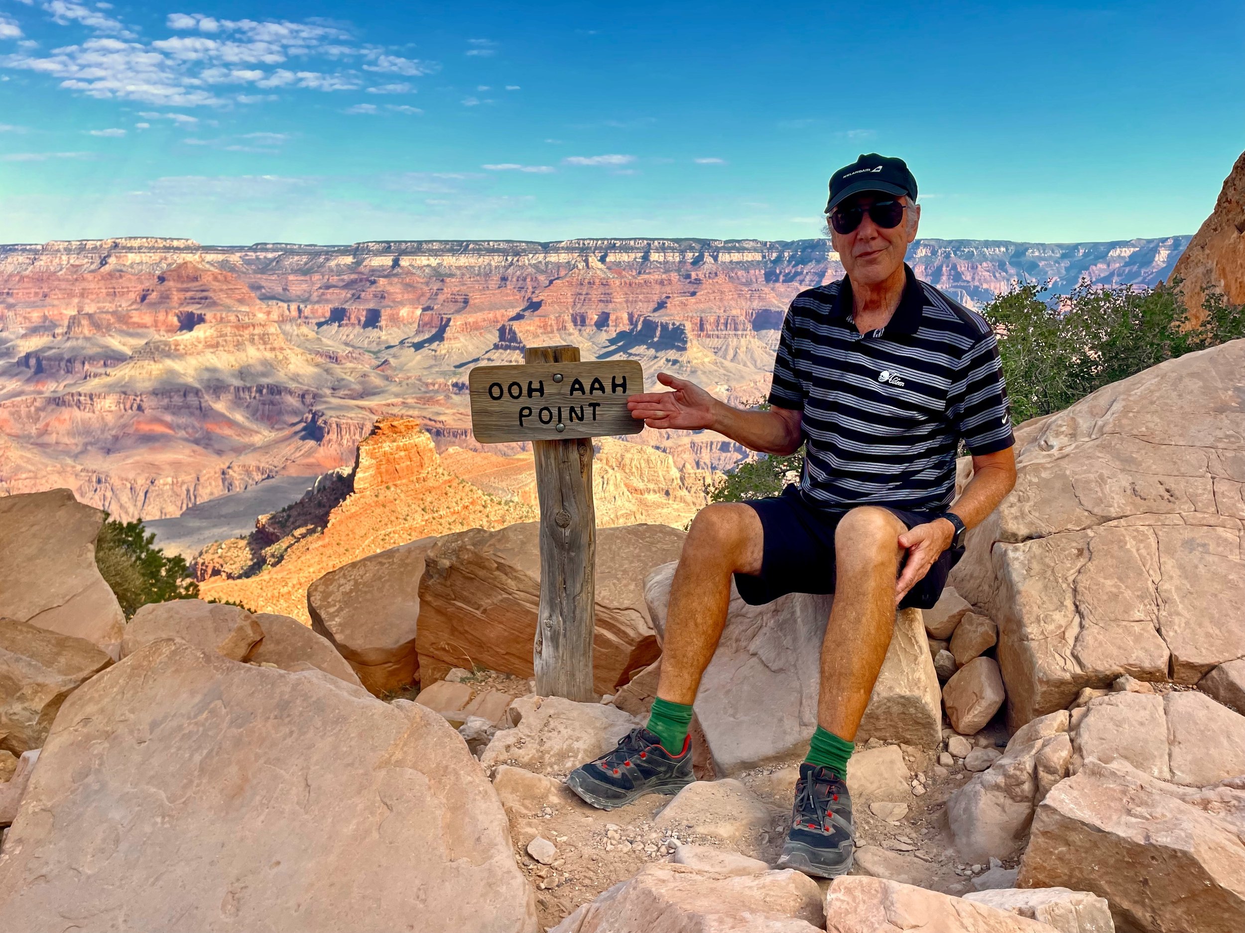
Down to Ooh Aah Point
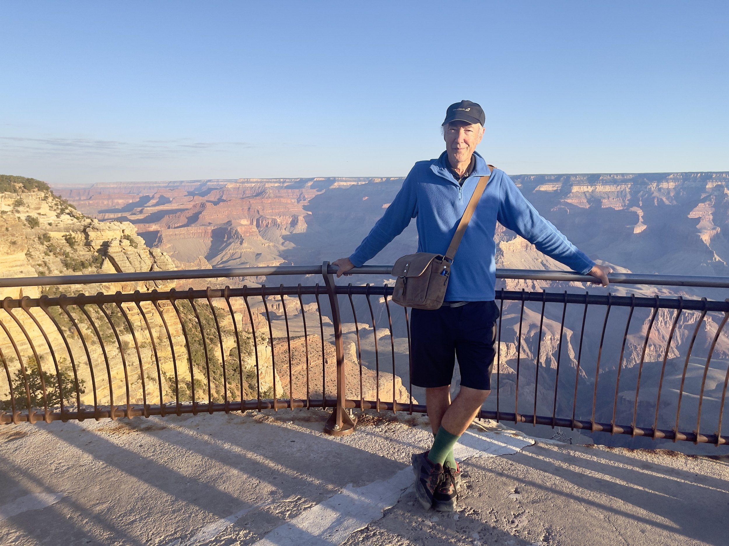
After sunrise we took the orange shuttle to the South Kaibab trailhead and hiked down the canyon to the aptly named Ooh Aah Point. A moderately challenging hike since it started downhill, but the path was very well maintained. Back up was no problem, and we finished by 10 AM, well before the heat.
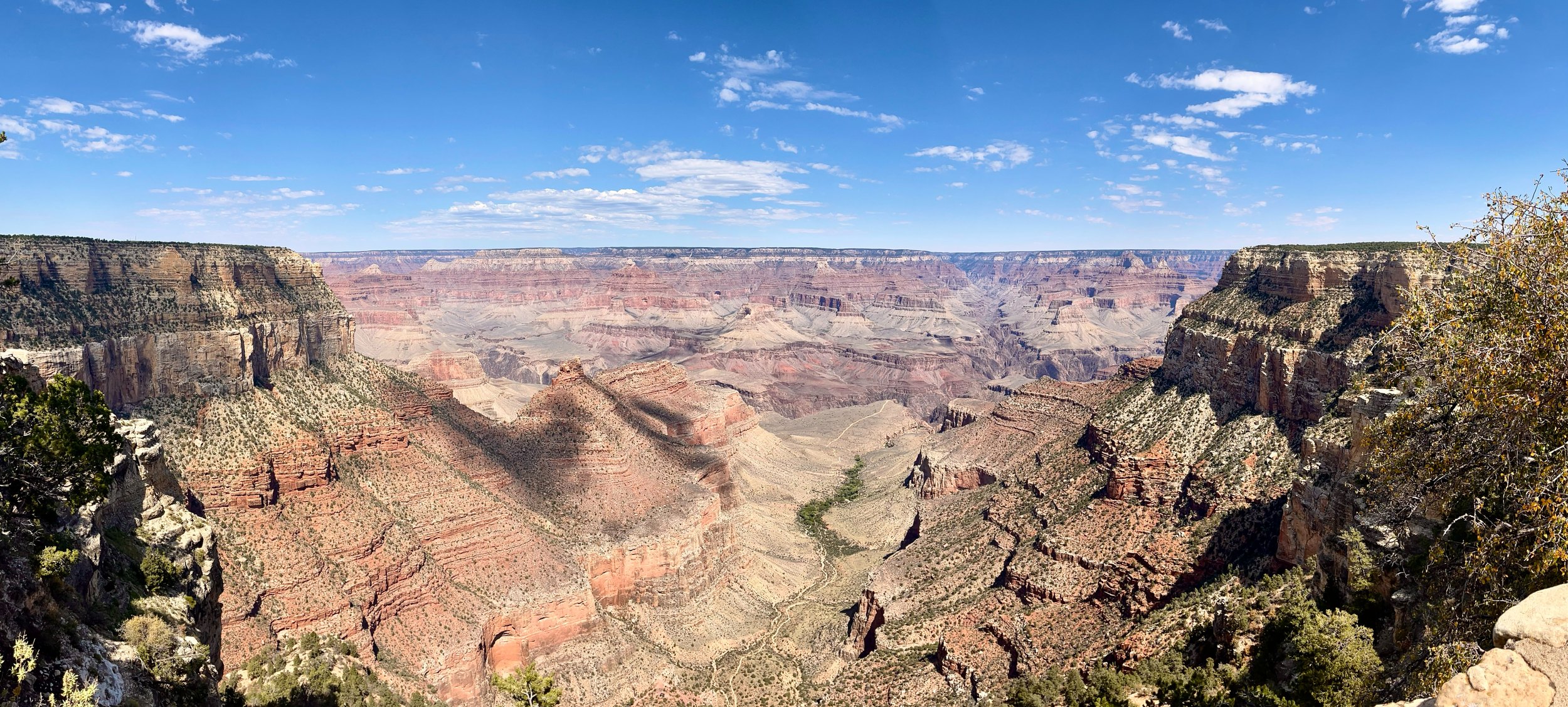
Along the rim
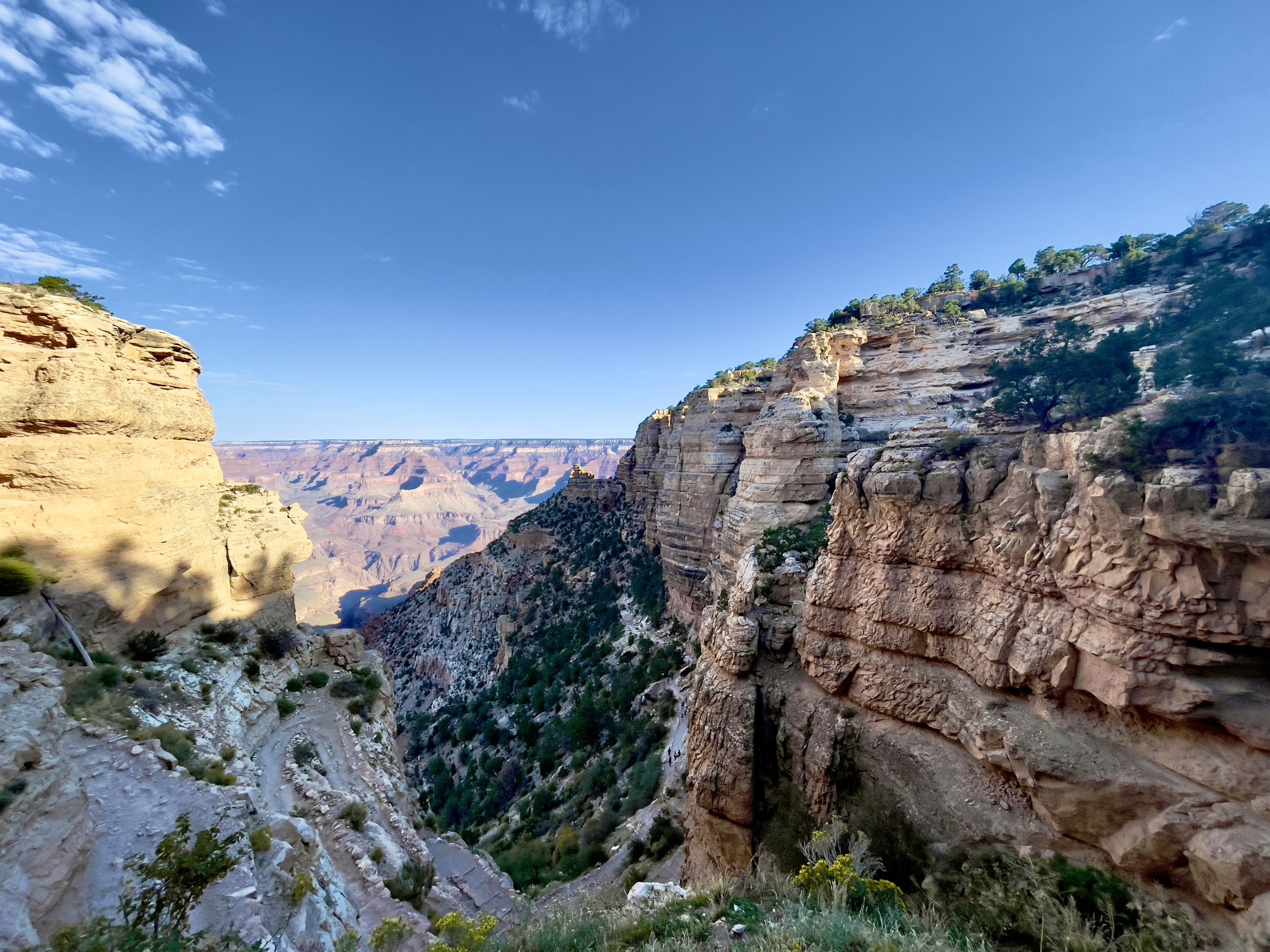
After some coffee at the visitor center we took the blue bus and then walked along the South Rim to a few additional lookouts. We considered going further out, but time was getting short if we were going to make it to Page for sunset.
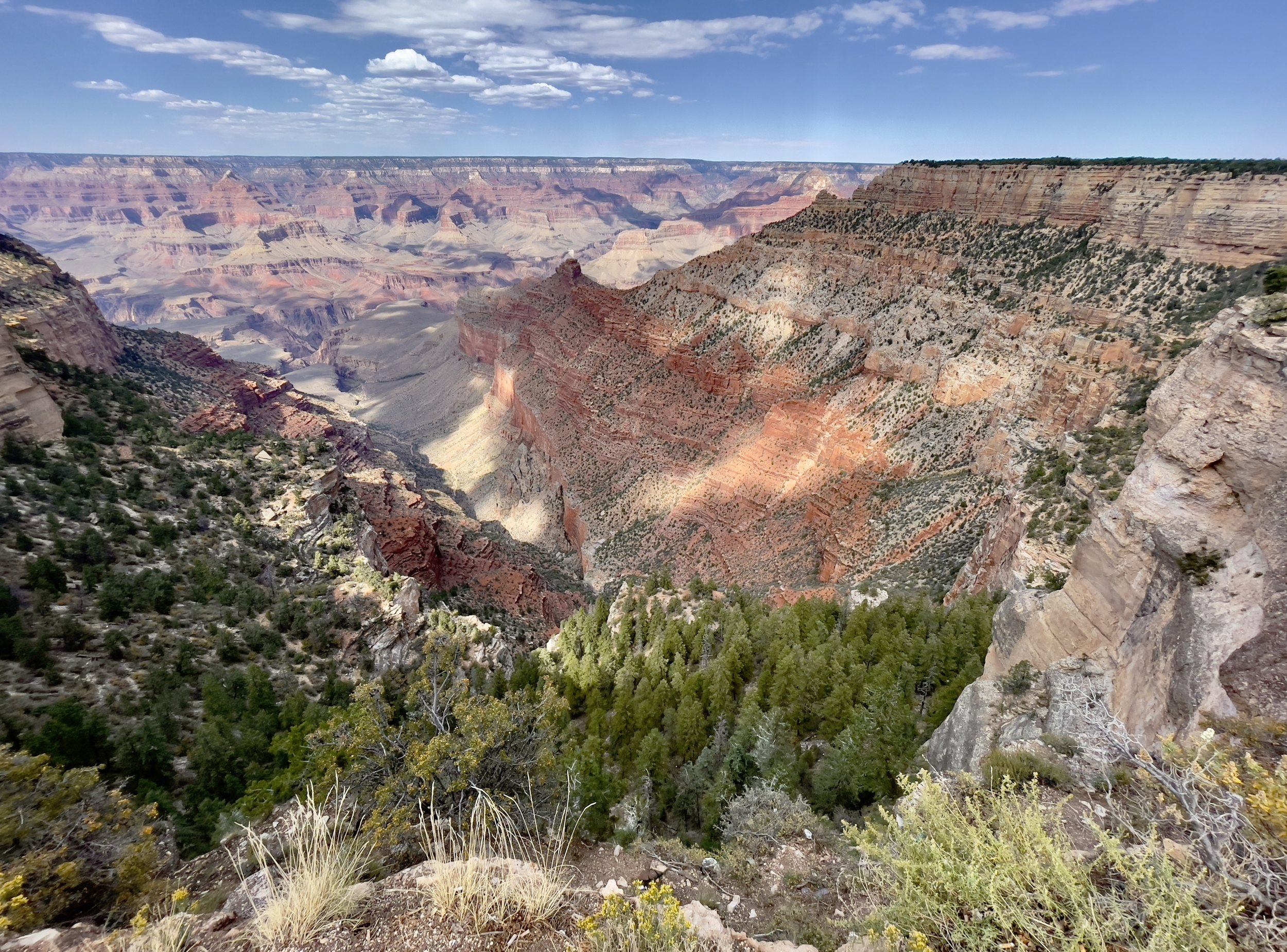
Heading east in the park we hit almost every lookout, and then got on the road to Page.
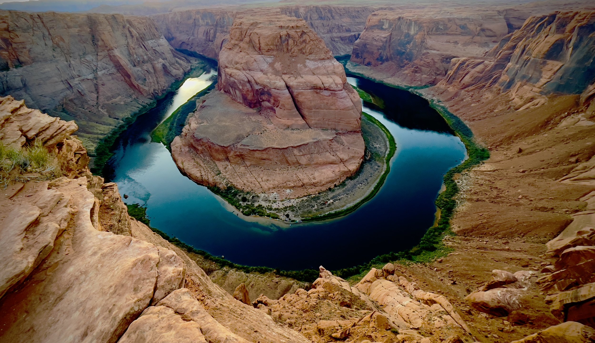
Sunset at Horseshoe Bend
We made it in time for sunset at Horseshoe Bend, one of the most photographed spots in the US. It was quite crowded with tourists and other photographers, but there was still a spot for everyone. The sunset was nice but not spectacular, and unfortunately right behind the bend and not lighting it very nicely. But the photos turned out OK anyway.
We got dinner food at the local Walmart, and stayed overnight in the nearby Motel 6 in Page.
Grand Canyon and Horseshoe Bend, the practical stuff
- Where should you watch sunrise? — Mather Point is closest to the visitor center parking and the easiest to reach in the dark, which is why hundreds of people go there. Arrive 20 to 30 minutes before sunrise for a spot at the railing.
- How do you get to the South Kaibab Trail? — By the free orange shuttle from the visitor center. The road to the trailhead is closed to private cars, and the shuttles are included in the park entrance fee.
- How hard is the hike to Ooh Aah Point? — The park gives it as 1.8 miles there and back, one to two hours, with a drop of up to about 800 feet. Steep but well maintained. Bring water: there is none on the trail, only at the trailhead.
- Can you hike to the river and back in a day? — The park says don’t, especially from May to September. For a day hike, Skeleton Point, three miles down, is as far as it recommends.
- How do you see the rim viewpoints? — The blue shuttle connects the visitor center with the village, and the Rim Trail links the viewpoints on foot. Hermit Road to the west is closed to private cars most of the year and served by the red shuttle. The viewpoints to the east, on the road toward Desert View, you can drive to yourself.
- Is Horseshoe Bend worth it at sunset? — It is crowded, and in late September the sun sets right behind the bend, so it is backlit. The walk is 1.5 miles there and back on a firm path. Parking is run by the City of Page, and the national park passes are not valid there.
- Where should you stay? — We stayed in Williams the night before, about an hour south of the park, and in Page after Horseshoe Bend. Tusayan, just outside the south entrance, is closer but usually more expensive.
- How to book — Park information and shuttles: Grand Canyon National Park. Hotels inside the park: Grand Canyon Lodges. Hotels in Williams, Tusayan and Page: Booking.com. Horseshoe Bend parking: City of Page. Rental car: Hertz and the other big companies.
USA 2024 — all posts
- 1 — Chicago, the license in the car visor
- 2 — Highway 1, waiting for the fog to lift
- 3 — Santa Monica, the end of a road I never drove
- 4 — Los Angeles, the road named after the water
- 5 — Crystal Cove, a man who stayed there in 1944
- 6 — Catalina, hitchhiking by golf cart
- 7 — Santa Cruz Island, the dolphins on the way home
- 8 — Joshua Tree, “Don’t die today”
- 9 — Oatman, where the burros have names
- 10 — Grand Canyon, sunrise with a few hundred others
- 11 — Buckskin Gulch, checking the sky first
- 12 — Angels Landing, at seventy
- 13 — Bryce Canyon, hoodoos in the kiln
- 14 — Escalante, the road the Tiguan survived
- 15 — Capitol Reef, the park that was closed
- 16 — Monument Valley, and the ticket we didn’t get
- 17 — Mesa Arch, “Is your name Bo Sjosten?”
- 18 — Arches, nine minutes to spare
- 19 — Sleeping in the back of a Tiguan
- 20 — Permits, lotteries and timed entry in the national parks
- 21 — What things cost in the US, and the tip screen
- 22 — Three weeks in the West: the route, and what I would change