
Escalante, the road the Tiguan survived
/
From Bryce we drove to the Kodachrome Basin visitor center. They had some nice hanging chairs.
Cottonwood Road, all to ourselves
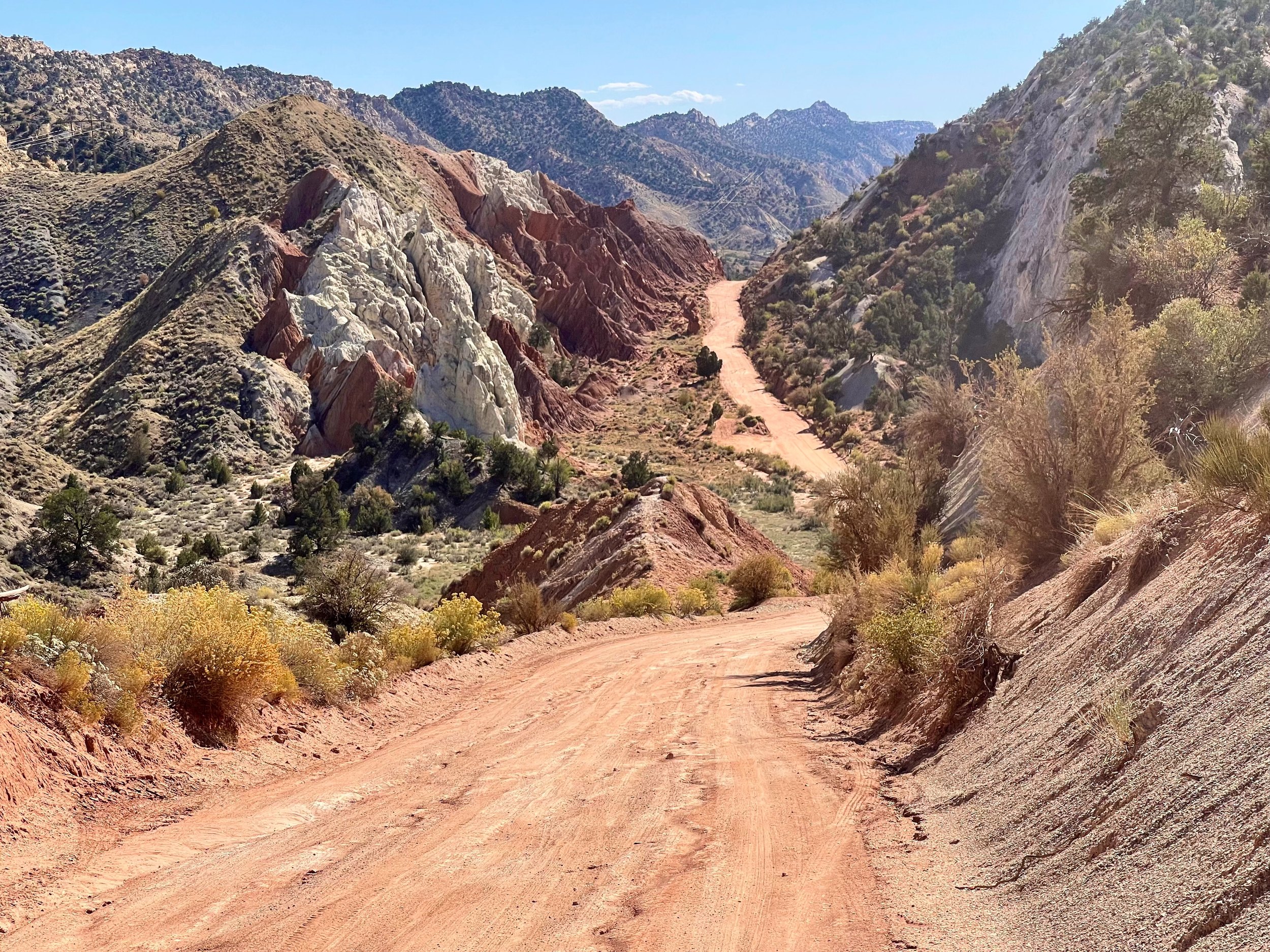
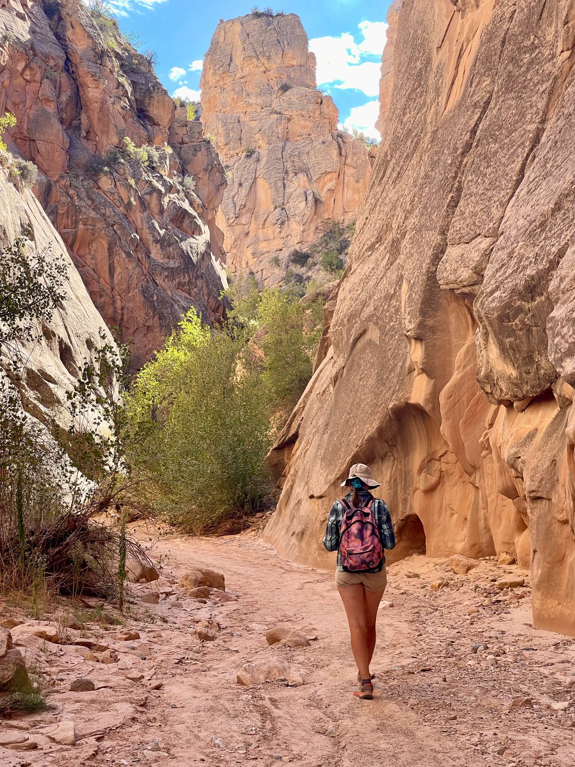
Another slot canyon down Cottonwood Road was our next destination. The road was OK, with only a couple of washes that could be bad when wet, but we made it to the canyon. Once there we were all alone, not a soul in sight. Not quite as nice as Buckskin Gulch, but still well worth the effort, a 1.5-mile hike in the canyon, and then a walk back to the car on Cottonwood Road.
We briefly stopped at Kodachrome Basin but decided not to hike, since we would have missed the views on Scenic Byway 12 to Escalante.
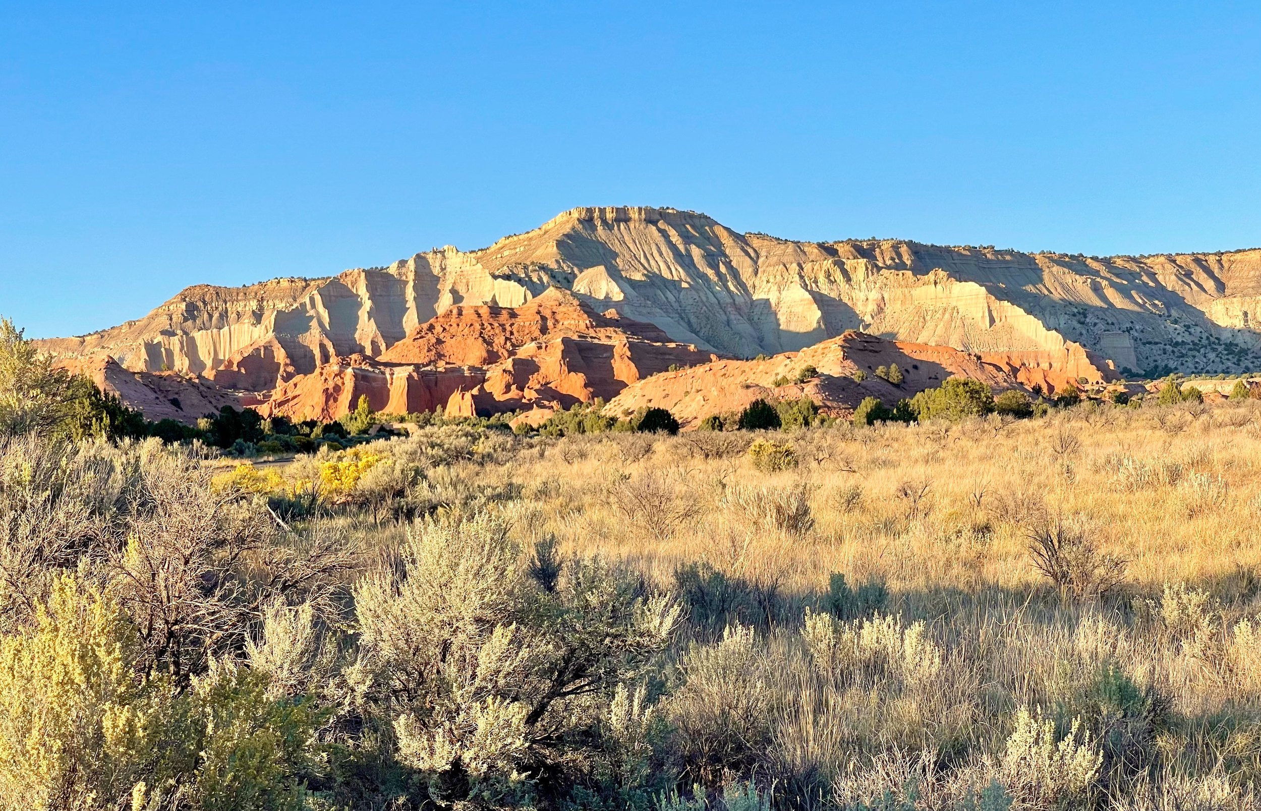
In Escalante we had a small cabin in an RV park. We got settled and then headed out to have dinner in one of the two available restaurants. We picked one, and I had loaded fries and a beer.
Hole in the Rock Road at 45 mph
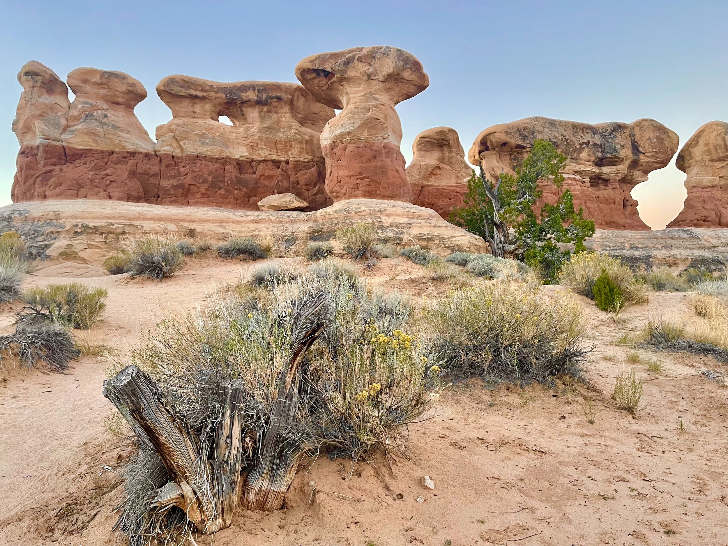
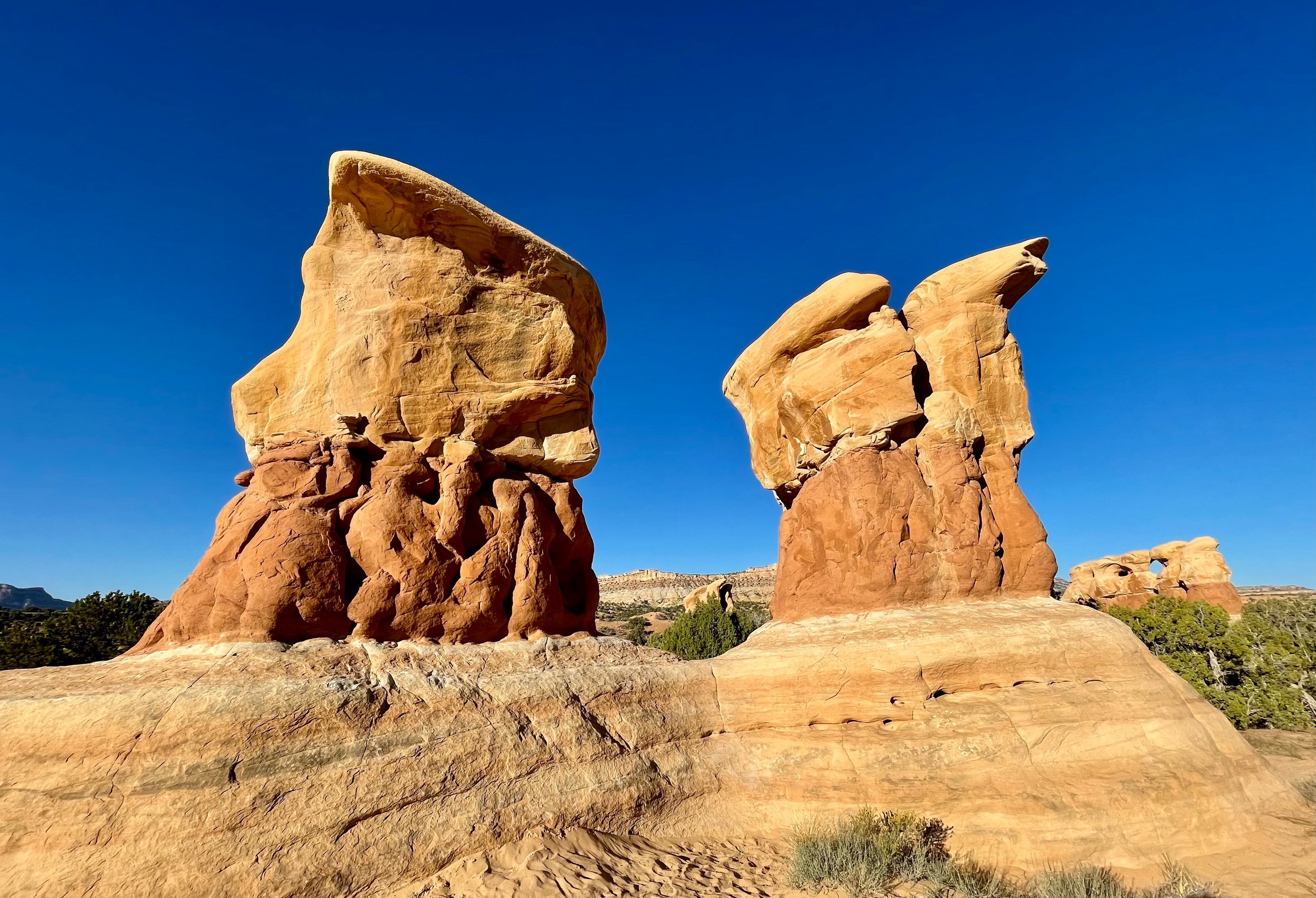
Another early morning, this time to catch another sunrise. We drove down Hole in the Rock Road toward Devils Garden, south of Escalante. The 15-mile drive was on a road with severe washboarding, so this was a good test of our Tiguan, “Das Auto” German engineering. My daughter maintained a speed of 40-45 mph, while the very few other tourists we saw seemed to go at 10-15 mph. Everything went well, the car didn’t fall apart.
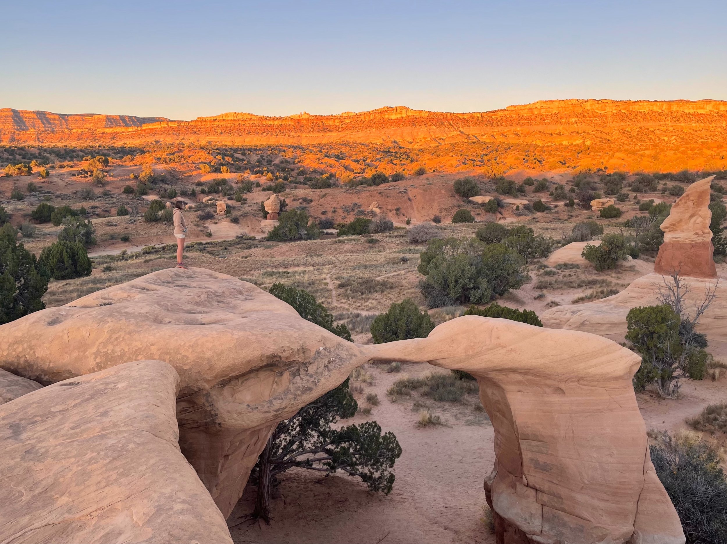
Once at Devils Garden we climbed some hoodoos and waited for sunrise. It hit the mountain range on the horizon first, then slowly advanced toward us. In the morning light you can really see all the nuances of the painted desert, something that is lost an hour or two after sunrise. The early bird catches the worm.
Brunch, petrified wood and Singing Canyon
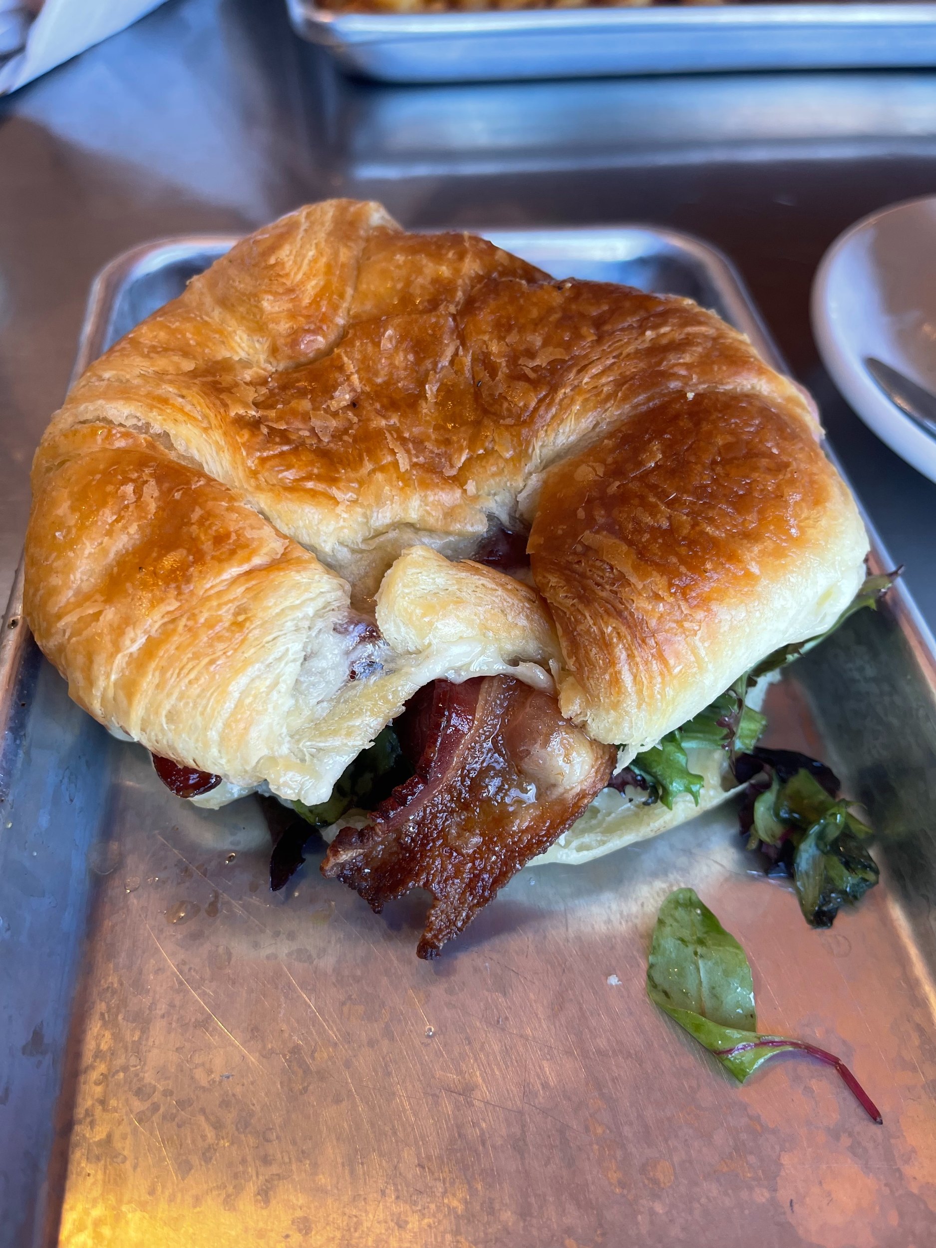
After Devils Garden we returned briefly to our cabin before setting off again. First stop was an excellent brunch at the local Destination Cafe, right next door to our cabin. I had a delicious bacon and cheese croissant.
We then went to the nearby petrified forest and took a short, but uphill, hike.
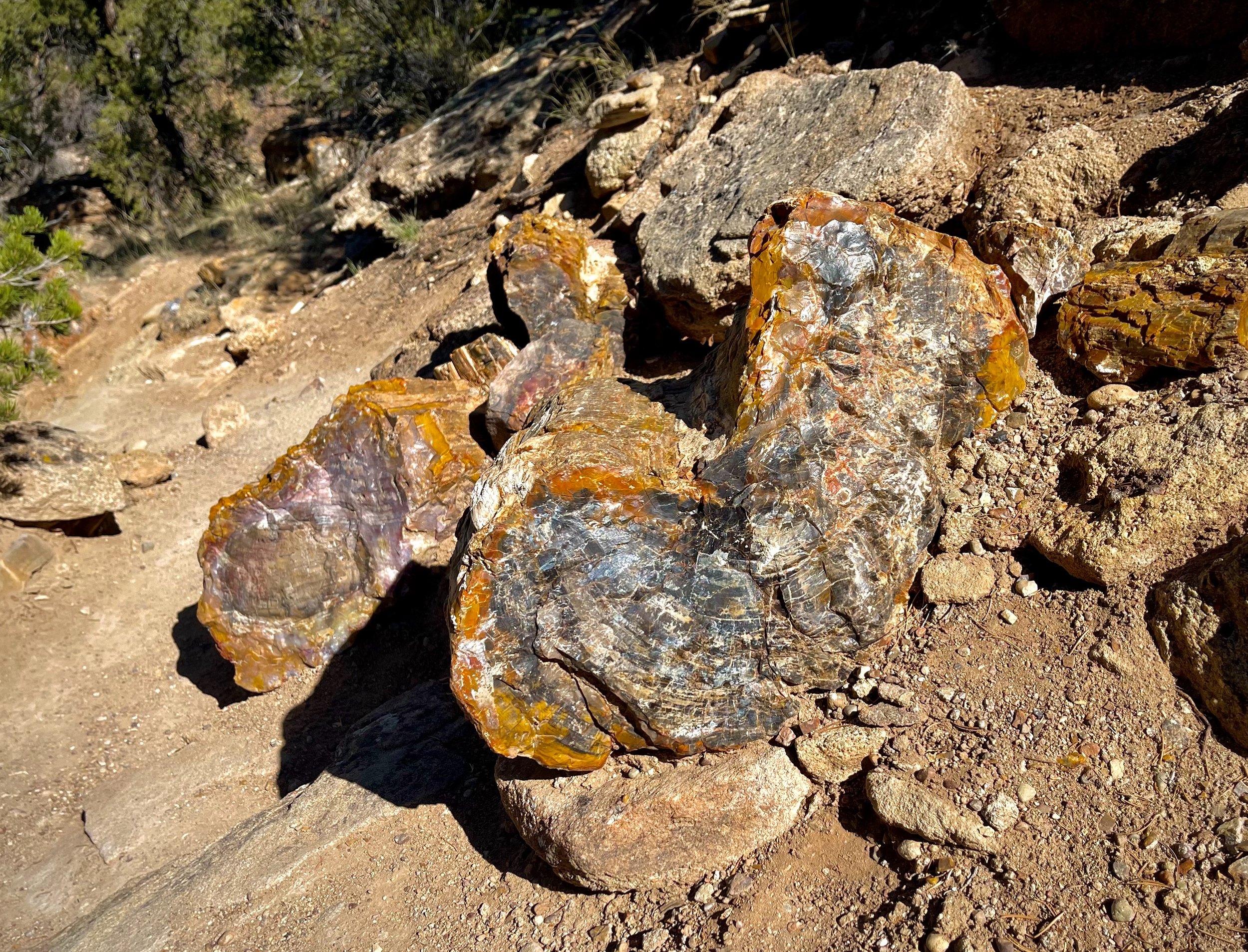
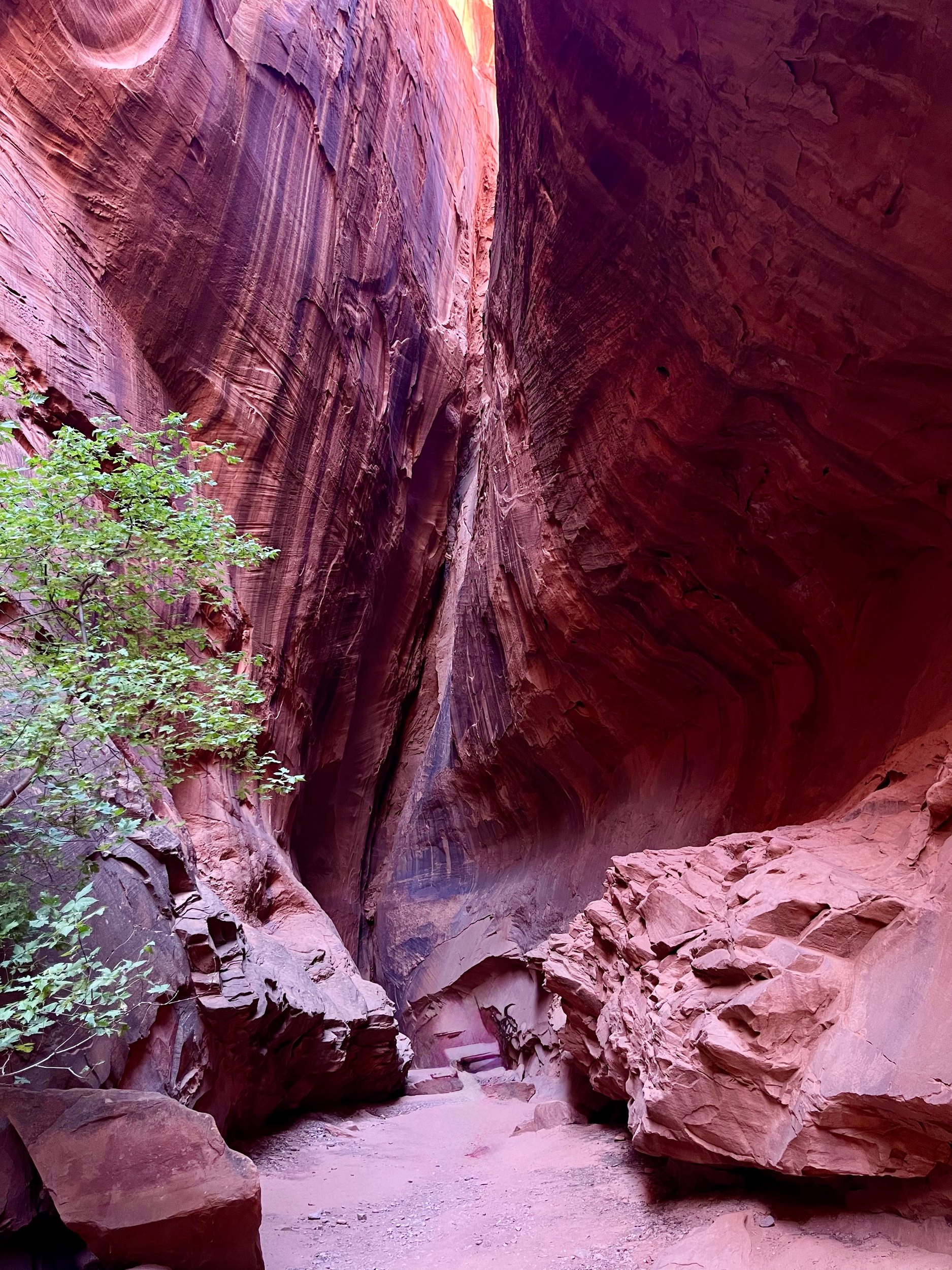
The next goal was the Burr Trail Road, a bit further along Scenic Byway 12, and the Singing Canyon. Singing Canyon is a fairly short but tall slot canyon, famous for its acoustics. It was very photogenic.
We continued on the Burr Trail Road until we got to the switchbacks and the view of Capitol Reef, then backtracked to Highway 12 and followed it to Torrey, where we had dinner at Slackers Burger (they had much more than burgers; I had a very good fish and chips). While there was still daylight we rearranged the back of the car, since this was our first night of camping.
We got to Capitol Reef Fruita Campground in the dark, found our campsite, and set up my daughter’s tent. I slept in my sleeping bag in the back of the car. Pretty comfortable, but a real pillow would have been nice.
Escalante and Scenic Byway 12, the practical stuff
- What is Scenic Byway 12? — Utah’s All-American Road, about 123 miles from US 89 near Panguitch, past Bryce, Escalante and Boulder, to Torrey near Capitol Reef. Slower than the alternatives and far more beautiful.
- Can an ordinary car handle Hole in the Rock Road? — In dry weather, yes, at least as far as Devils Garden, about 12 miles in. It is badly washboarded. Our Tiguan managed at 40-45 mph; most people drive much slower. After rain, stay off it.
- Is Devils Garden worth it? — Yes, at sunrise. There is a small parking area and picnic tables, and you can wander and climb among the hoodoos and arches as you like. No permit or fee.
- What about Cottonwood Road? — A gravel road south from near Kodachrome Basin. The washes that cross it can be impassable when wet. The Cottonwood Narrows slot was about 1.5 miles through the canyon, with the road as an easy way back.
- Where is the petrified forest? — Escalante Petrified Forest State Park is just west of town. The trail with the petrified wood is short but climbs steeply at first.
- How do you find Singing Canyon? — It is right by the Burr Trail Road east of Boulder, a short walk from the car. Sing something when you are inside.
- Where can you eat? — The Destination Cafe in Escalante for brunch, and Slackers Burger in Torrey for dinner. Escalante had only two restaurants open in the evening when we were there.
- How to book — Kodachrome Basin and Escalante Petrified Forest: Utah State Parks. The byway: Visit Utah, Scenic Byway 12. Cabins and hotels in Escalante and Torrey: Booking.com. Rental car: Hertz and the other big companies.
USA 2024 — all posts
- 1 — Chicago, the license in the car visor
- 2 — Highway 1, waiting for the fog to lift
- 3 — Santa Monica, the end of a road I never drove
- 4 — Los Angeles, the road named after the water
- 5 — Crystal Cove, a man who stayed there in 1944
- 6 — Catalina, hitchhiking by golf cart
- 7 — Santa Cruz Island, the dolphins on the way home
- 8 — Joshua Tree, “Don’t die today”
- 9 — Oatman, where the burros have names
- 10 — Grand Canyon, sunrise with a few hundred others
- 11 — Buckskin Gulch, checking the sky first
- 12 — Angels Landing, at seventy
- 13 — Bryce Canyon, hoodoos in the kiln
- 14 — Escalante, the road the Tiguan survived
- 15 — Capitol Reef, the park that was closed
- 16 — Monument Valley, and the ticket we didn’t get
- 17 — Mesa Arch, “Is your name Bo Sjosten?”
- 18 — Arches, nine minutes to spare
- 19 — Sleeping in the back of a Tiguan
- 20 — Permits, lotteries and timed entry in the national parks
- 21 — What things cost in the US, and the tip screen
- 22 — Three weeks in the West: the route, and what I would change