
Bryce Canyon, hoodoos in the kiln
/
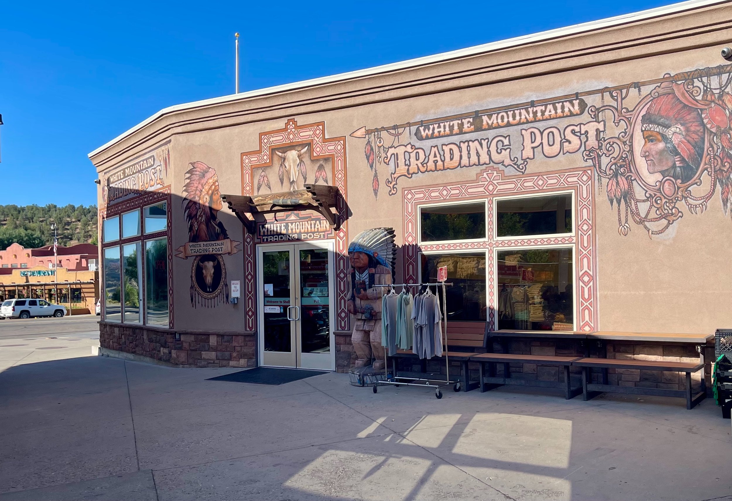
After leaving Zion, we drove on toward Bryce. We stopped at a random trading post in Orderville along the road, and it turned out to be quite a gold mine for my daughter’s pin collection. They had many of the missing pins she’d been looking for.
Cedar Breaks, on a whim
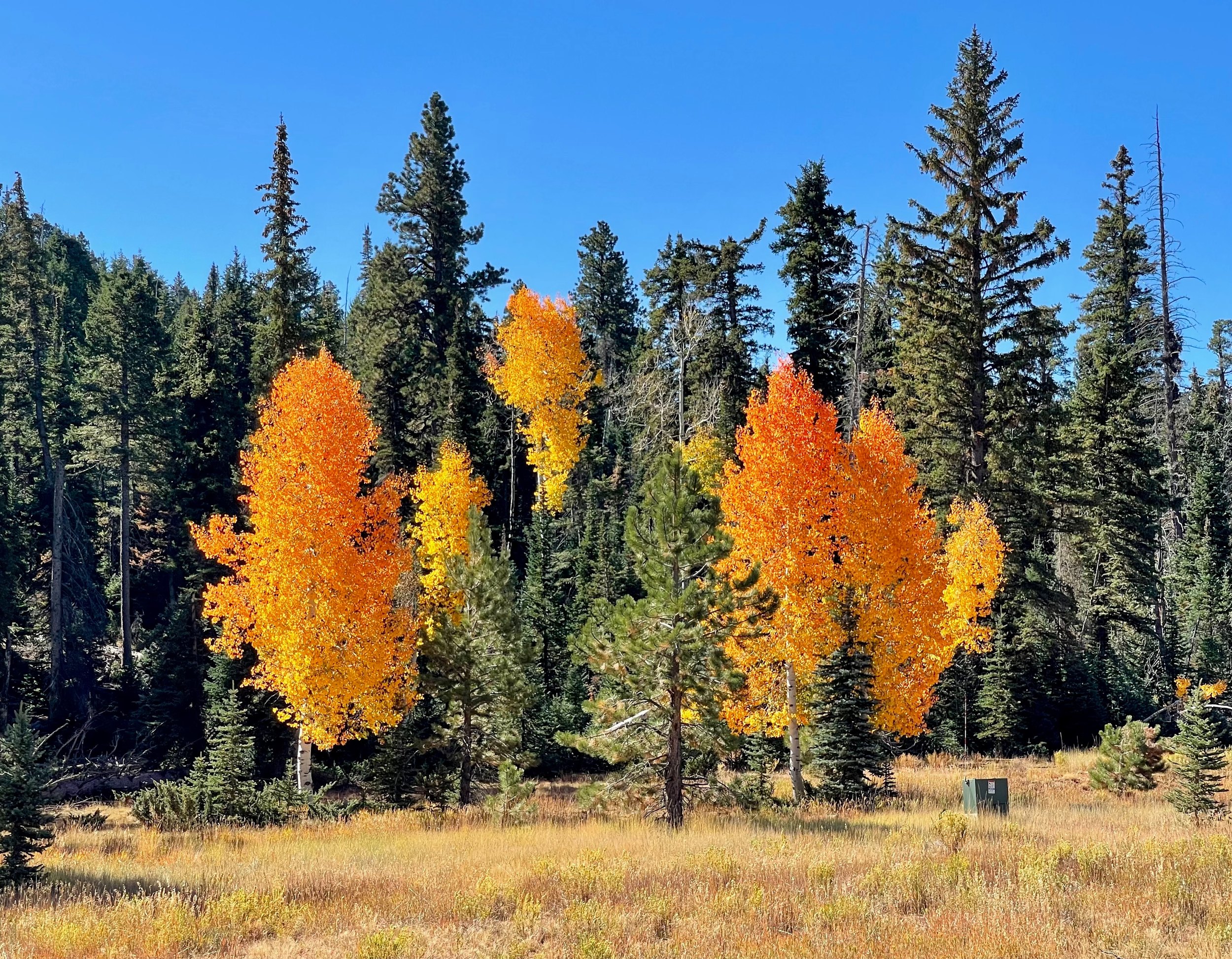
On a whim we took a detour to Cedar Breaks National Monument. This turned out to be a nice drive, with lots of aspen in fall colors, and also our first encounter with hoodoos.
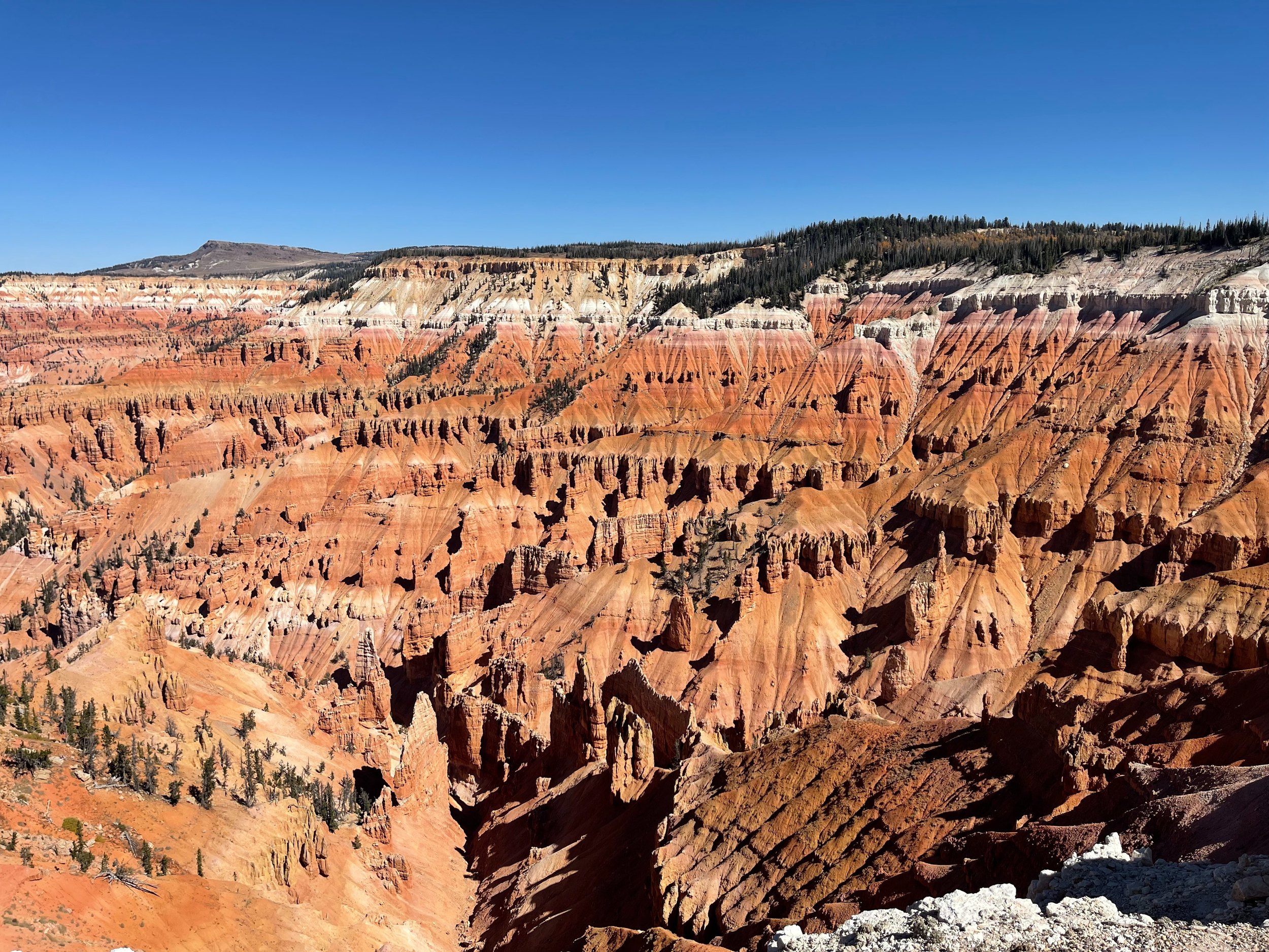
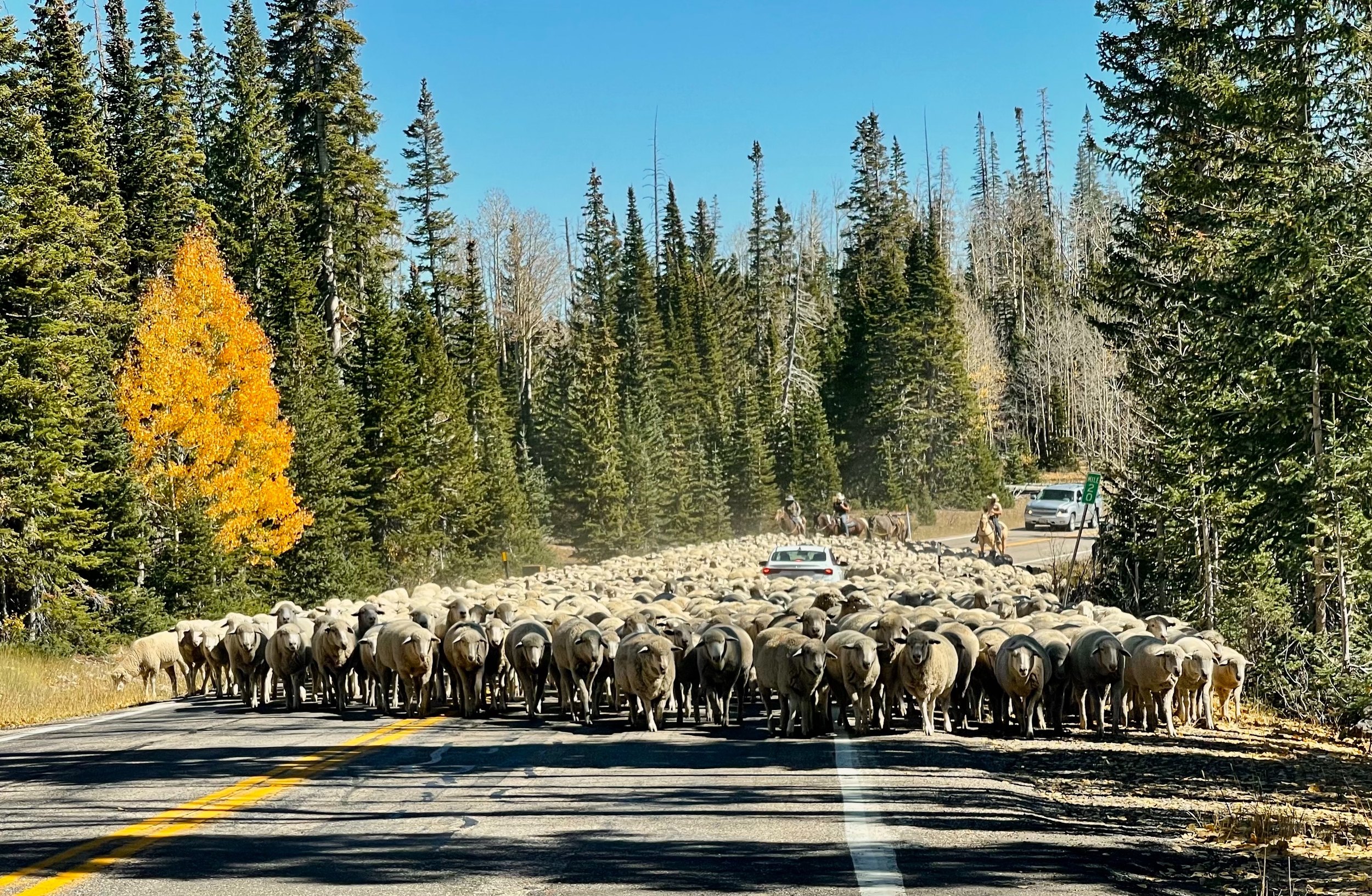
We continued our loop up to Chessmen Ridge, where we took a short hike in the high-elevation pine forest. On the way down we found the road blocked by sheep.
Red Canyon and Panguitch
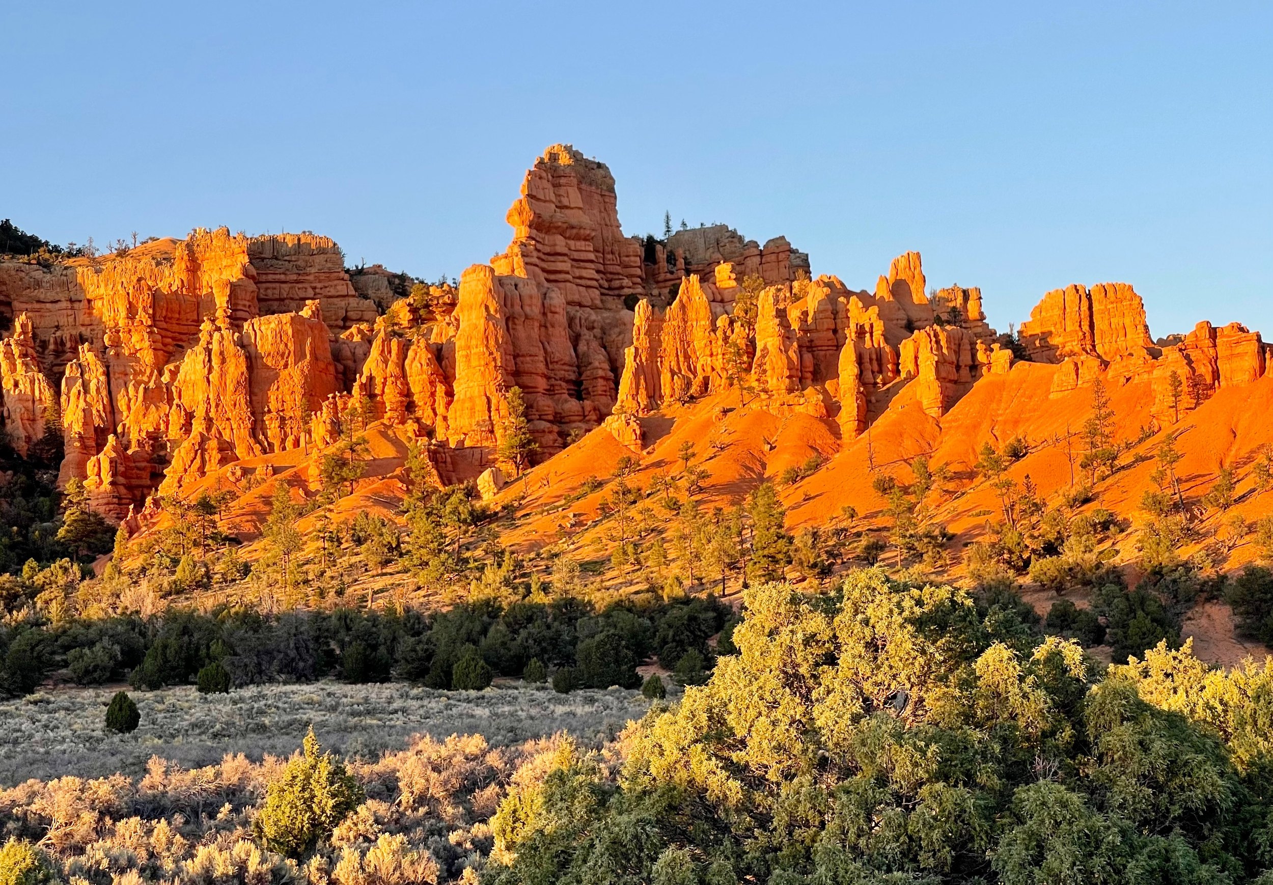
As we approached Bryce we stopped for a quick hike at Red Canyon. Once we reached Bryce we drove to the furthermost lookout. However, Bryce is not really that good for sunset, it is more of a sunrise place. Still, we got to see some of the lookouts to see if they were worthwhile to visit tomorrow.
On the way back from Bryce to Panguitch we again stopped at Red Canyon for sunset photos.
We had hamburgers at a small joint in Panguitch, then drove out to Walmart to bunker up on supplies for tomorrow.
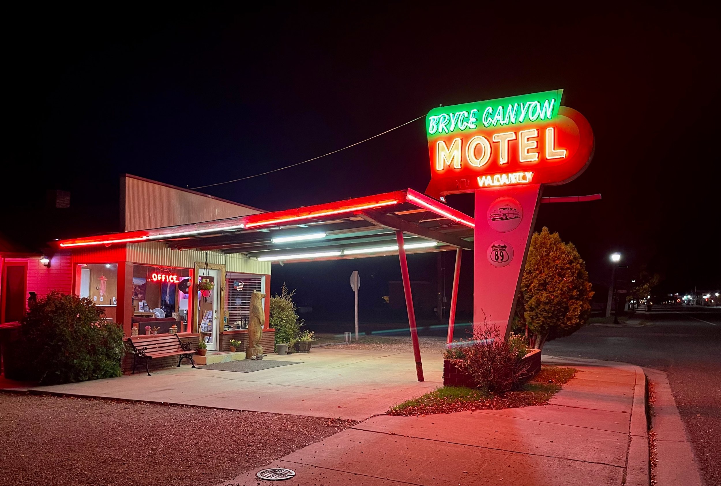
Overnight we stayed at the Bryce Canyon Motel in Panguitch. An old-style motel with a nice neon sign and parking right outside the door.
Sunrise Point at 42°F
Another early morning to catch sunrise in Bryce. We left Panguitch in the darkness, got coffee, and set out for the 40-minute drive to Sunrise Point in Bryce. Parking can be difficult, but we were early enough to get a decent spot.
We walked out to the point on a quite chilly morning. Bryce is the highest of all the parks, and the temperature was down to 42°F before the sunrise.
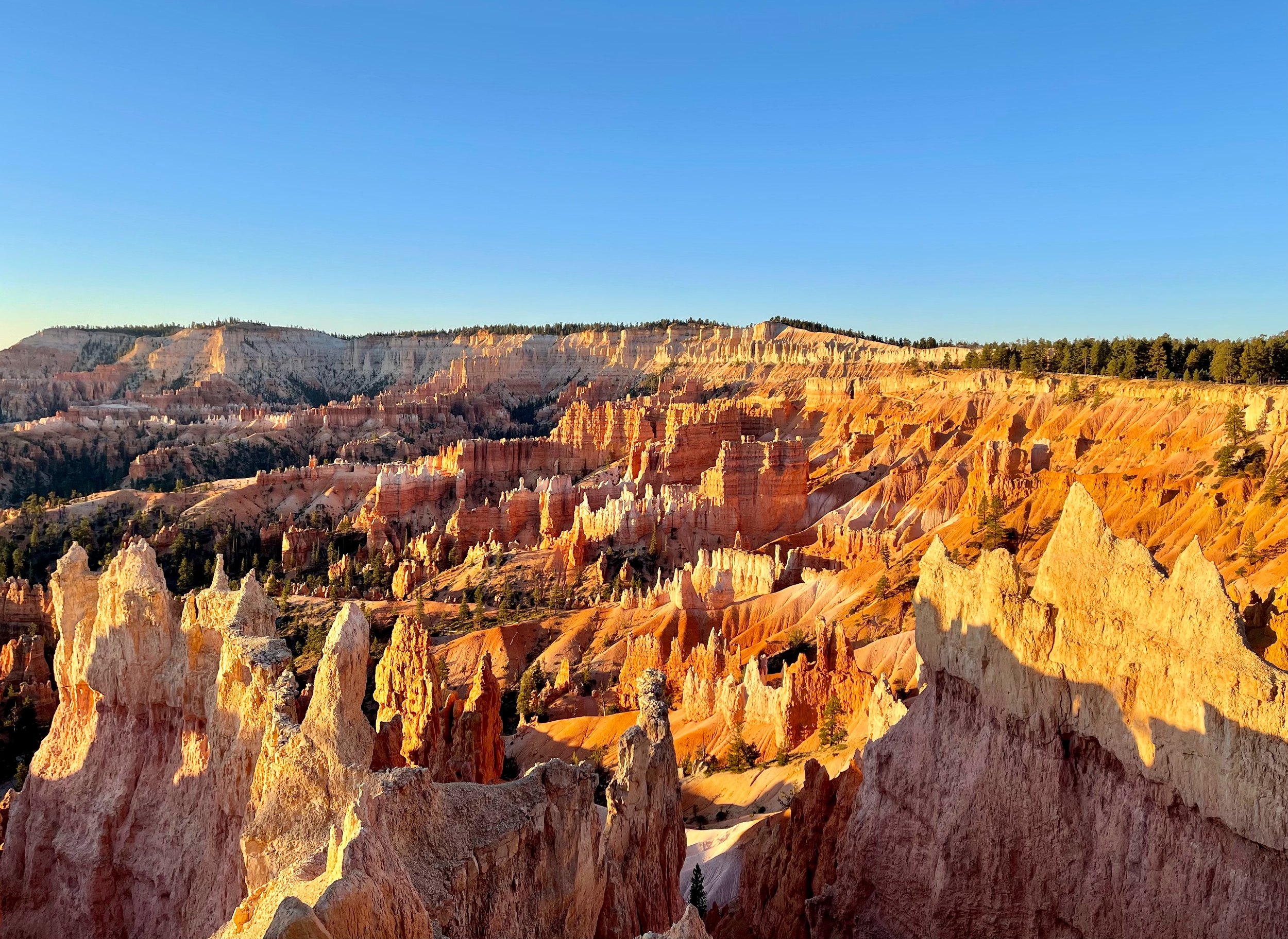
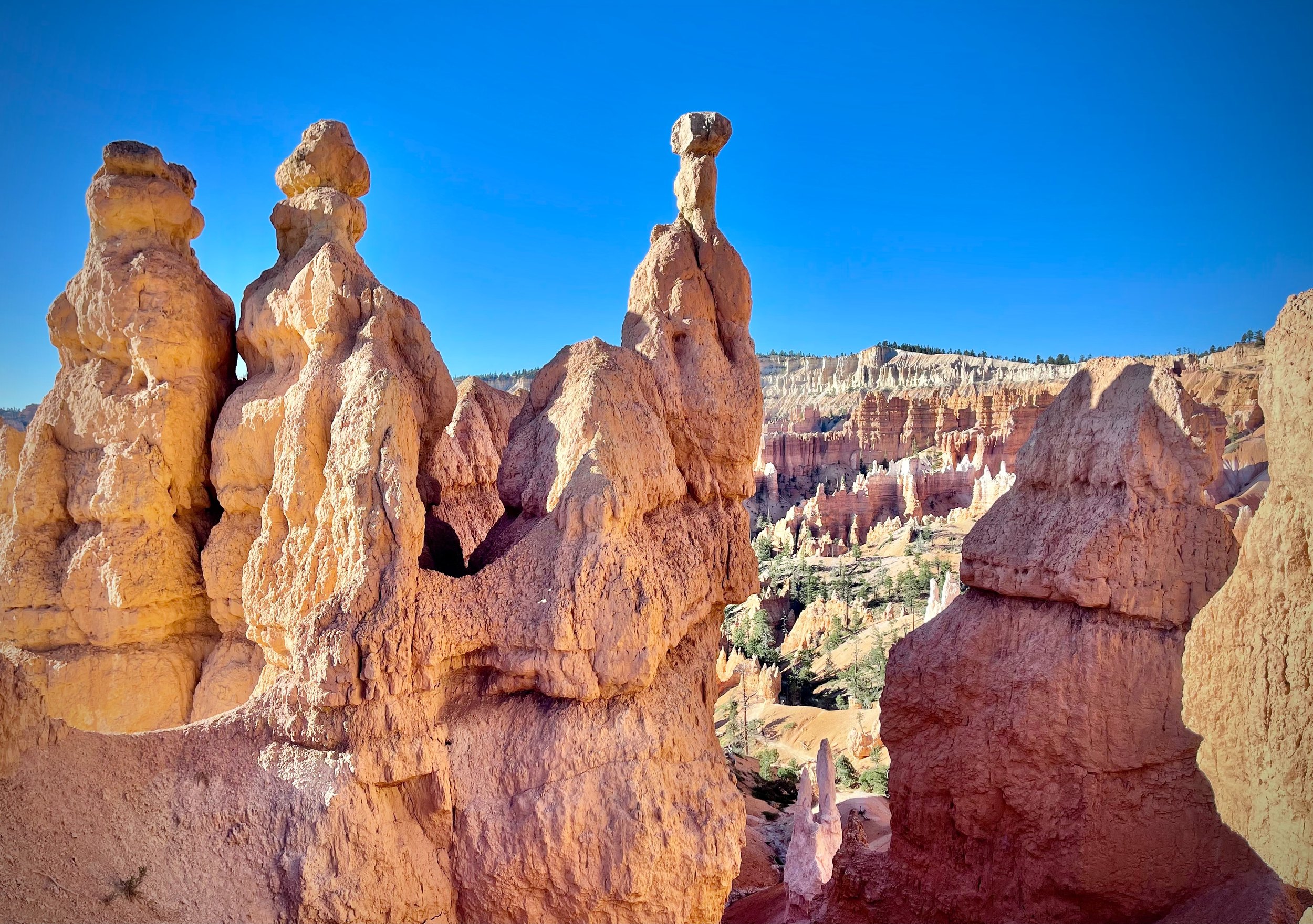
Sunrise was all you can ask for and more. The hoodoos look unreal in the morning light, and we really enjoyed the views and got some stunning photos.
Down among the hoodoos
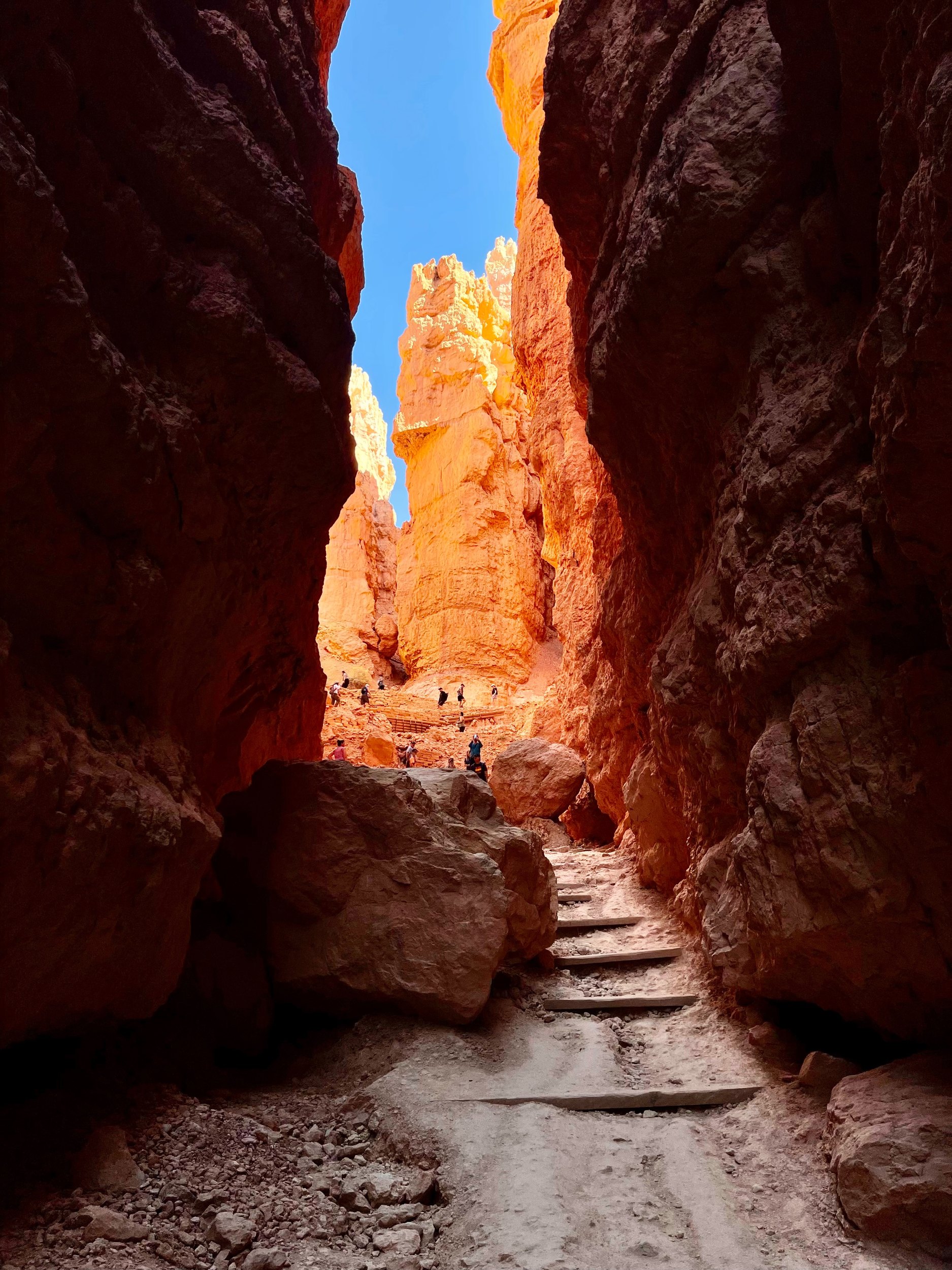
After enjoying sunrise we set out on the Queens/Navajo loop down into the canyon. More beautiful views around every corner. The Wall Street trail to the top was rumored to be closed, but we found it open and hiked up what was almost a slot canyon. By now it was starting to get hot. The ranger used the word “kiln” to describe daytime conditions at the bottom of the canyon.
Bryce Canyon and Cedar Breaks, the practical stuff
- Sunrise or sunset at Bryce? — Sunrise. The amphitheater faces east, and the hoodoos light up when the first sun hits them. In the evening the sun sets behind you and the amphitheater falls into shadow. Sunrise Point and Sunset Point both work in the morning.
- How cold is it in the morning? — At Sunrise Point in early October it was 42°F before the sun came up. Bring a warm layer and gloves, even if the afternoon in the canyon is hot.
- Which hike should you do? — The Queens Garden and Navajo Loop together make a loop of about three miles from the rim and back. Go up through Wall Street if it is open; it is steep but shaded. Parts of the Navajo Loop close at times for rockfall, so ask at the visitor center.
- When is it too hot in the canyon? — By late morning, even in October. The ranger’s word for the bottom of the canyon in the middle of the day was “kiln”.
- Is Cedar Breaks worth the detour? — Yes, especially in late September and early October when the aspens turn. The rim road is above 10,000 feet and closed by snow for much of the year, so check that it is open.
- Where should you stay? — We stayed in Panguitch, an old Mormon town about 40 minutes from Sunrise Point, at the Bryce Canyon Motel. Bryce Canyon City and Tropic are closer to the park.
- Where can you find park pins? — In park visitor centers and gift shops, and in the trading posts along the highways. The one in Orderville had several my daughter had been looking for.
- How to book — Park information: Bryce Canyon National Park and Cedar Breaks National Monument. Hotels in Panguitch, Tropic and Bryce Canyon City: Booking.com. Rental car: Hertz and the other big companies.
USA 2024 — all posts
- 1 — Chicago, the license in the car visor
- 2 — Highway 1, waiting for the fog to lift
- 3 — Santa Monica, the end of a road I never drove
- 4 — Los Angeles, the road named after the water
- 5 — Crystal Cove, a man who stayed there in 1944
- 6 — Catalina, hitchhiking by golf cart
- 7 — Santa Cruz Island, the dolphins on the way home
- 8 — Joshua Tree, “Don’t die today”
- 9 — Oatman, where the burros have names
- 10 — Grand Canyon, sunrise with a few hundred others
- 11 — Buckskin Gulch, checking the sky first
- 12 — Angels Landing, at seventy
- 13 — Bryce Canyon, hoodoos in the kiln
- 14 — Escalante, the road the Tiguan survived
- 15 — Capitol Reef, the park that was closed
- 16 — Monument Valley, and the ticket we didn’t get
- 17 — Mesa Arch, “Is your name Bo Sjosten?”
- 18 — Arches, nine minutes to spare
- 19 — Sleeping in the back of a Tiguan
- 20 — Permits, lotteries and timed entry in the national parks
- 21 — What things cost in the US, and the tip screen
- 22 — Three weeks in the West: the route, and what I would change