
Mesa Arch, “Is your name Bo Sjosten?”
/
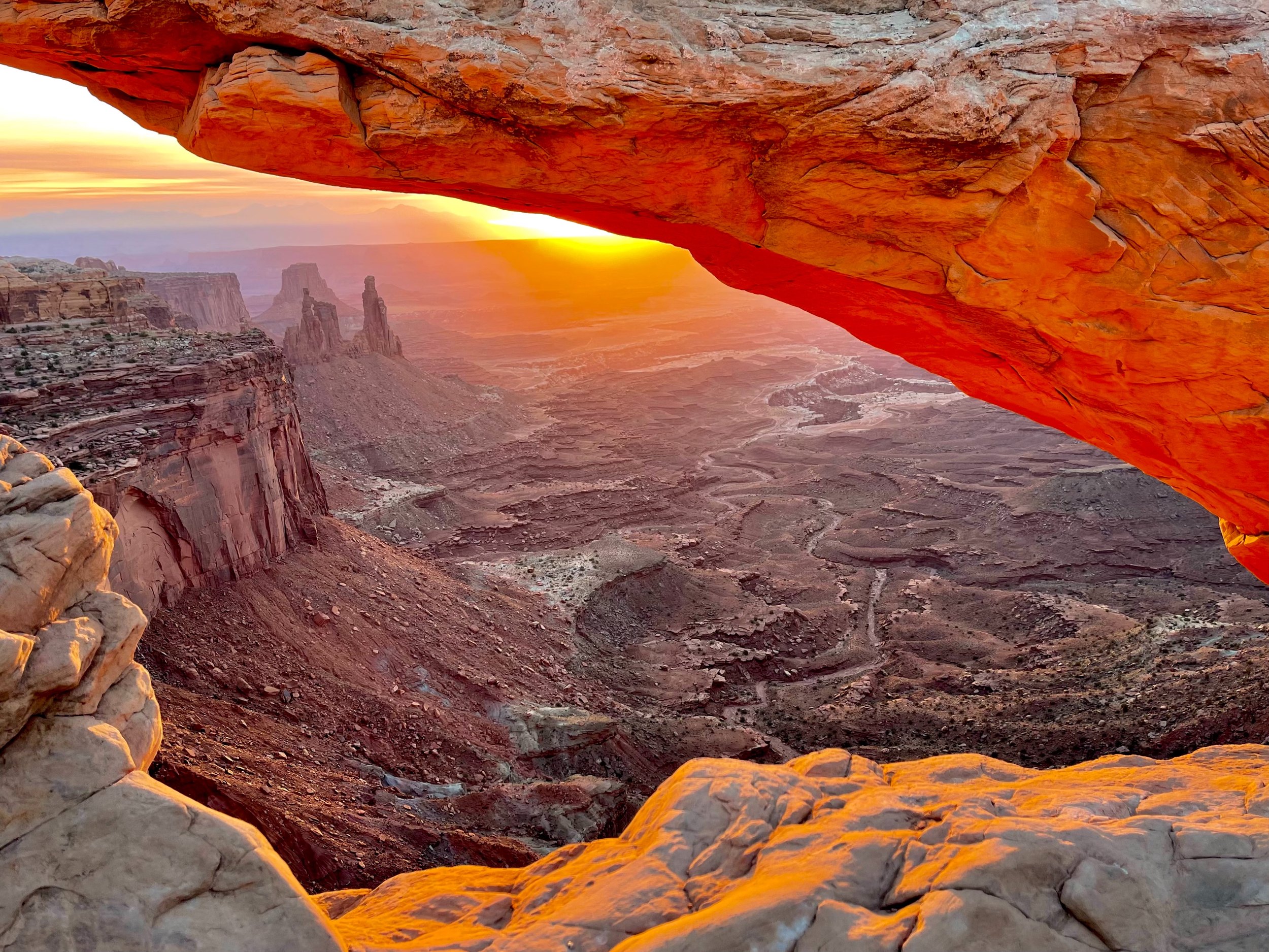
One of the must-do photo spots in the area is Mesa Arch. We again got up at 5:30 AM to pack up the campsite, then drove up into the park and the Mesa Arch trailhead. The hike was about a mile in the dawn light, not very difficult.
Sunrise at Mesa Arch
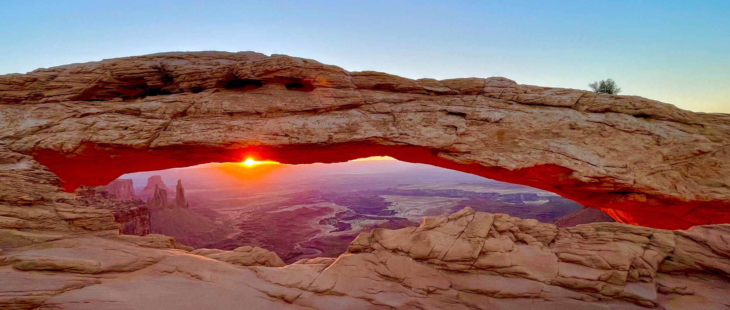
Once at the arch we found the crowd of people we had expected; this is a very popular spot. In spite of the crowds it was fairly easy to stake out a good spot and wait for the sun. Sunrise didn’t disappoint, and we got good photos.
Is your name Bo Sjosten?
Someone walked up to me and asked “Is your name Bo Sjosten?”. It turned out to be an old classmate of my daughter’s. What a coincidence, small world. On top of that, he was traveling with a friend who had been at the same university as my daughter, at the same time. Even smaller world.
Smoke over the overlooks
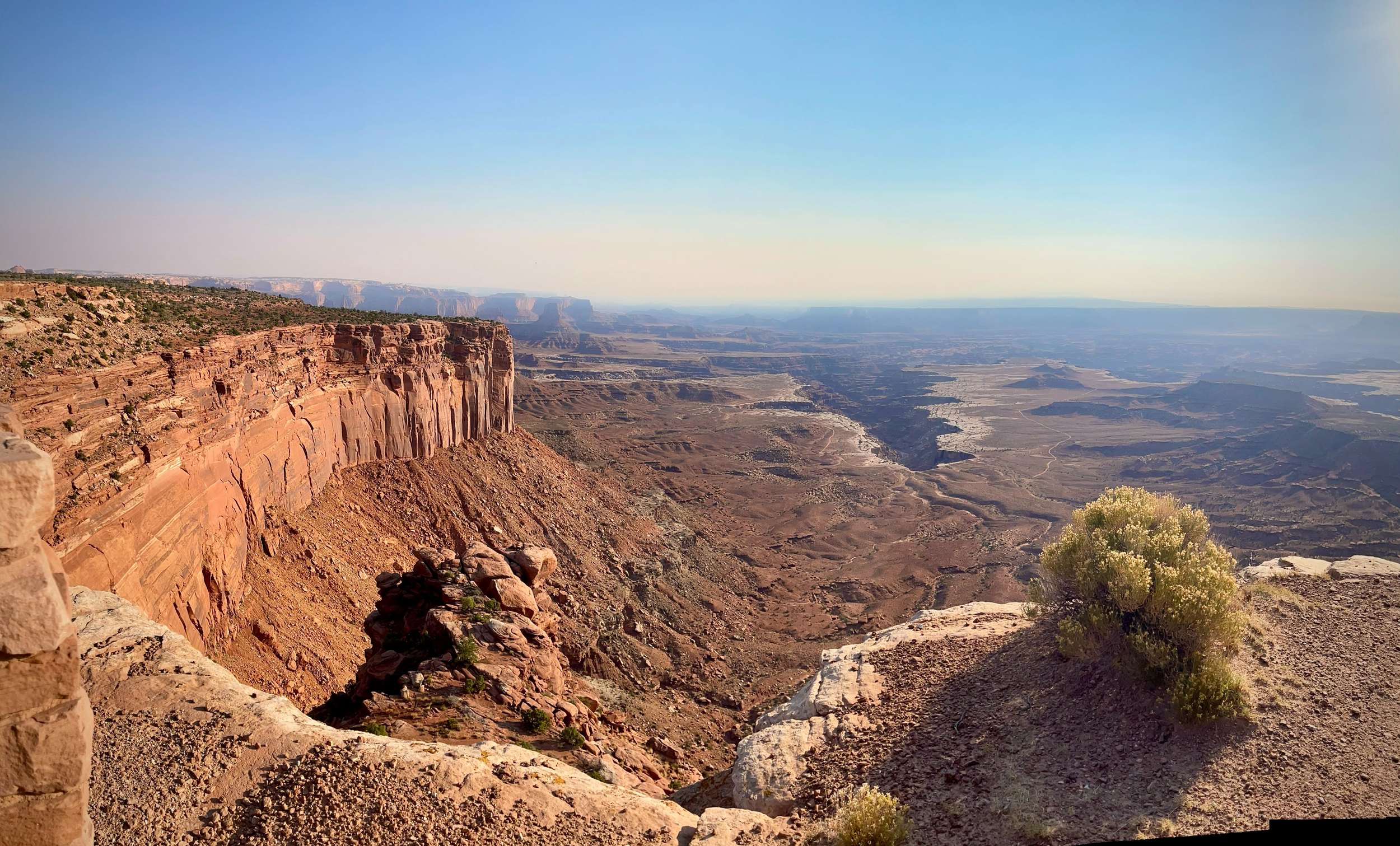
After hiking back to the car we drove around to some of the overlooks. The views were OK, if a bit hazy, until about 9 AM. Then the smoke from some huge nearby forest fires moved in, and the mountain ranges in the distance all but disappeared.
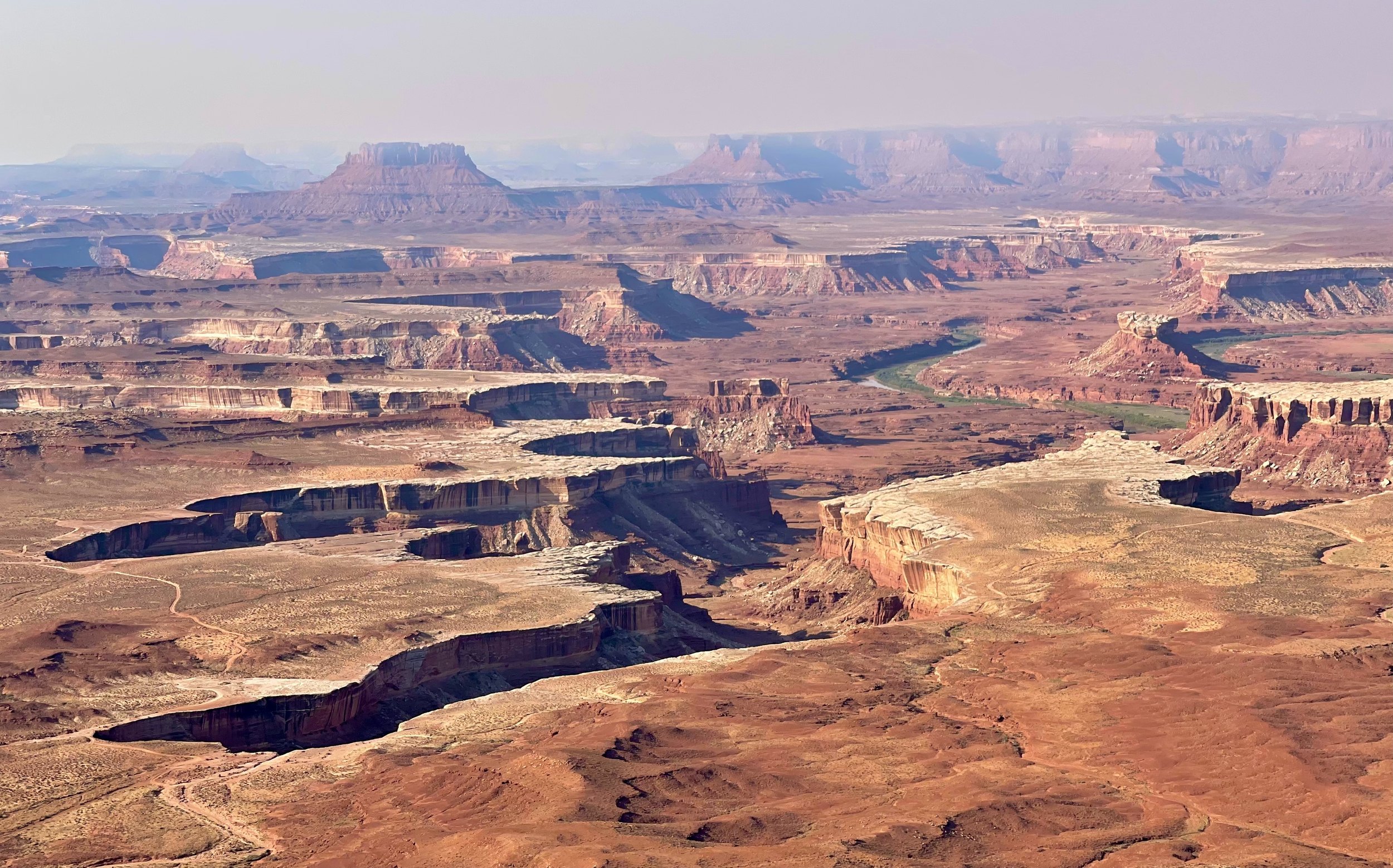
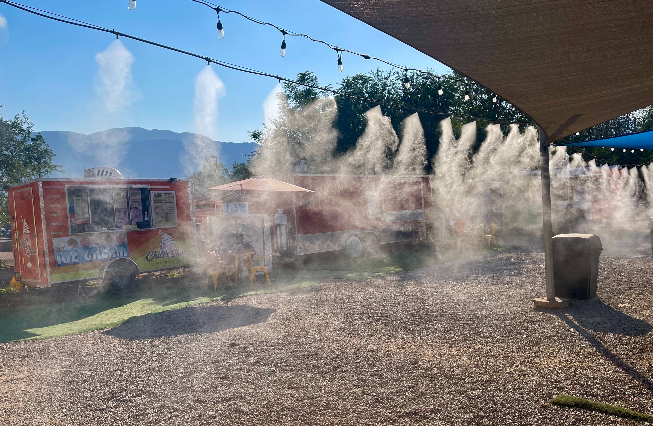
There was no point in doing any hiking, so we drove down to Moab instead, had ice cream and a look around the shopping district.
Dead Horse Point at sunset
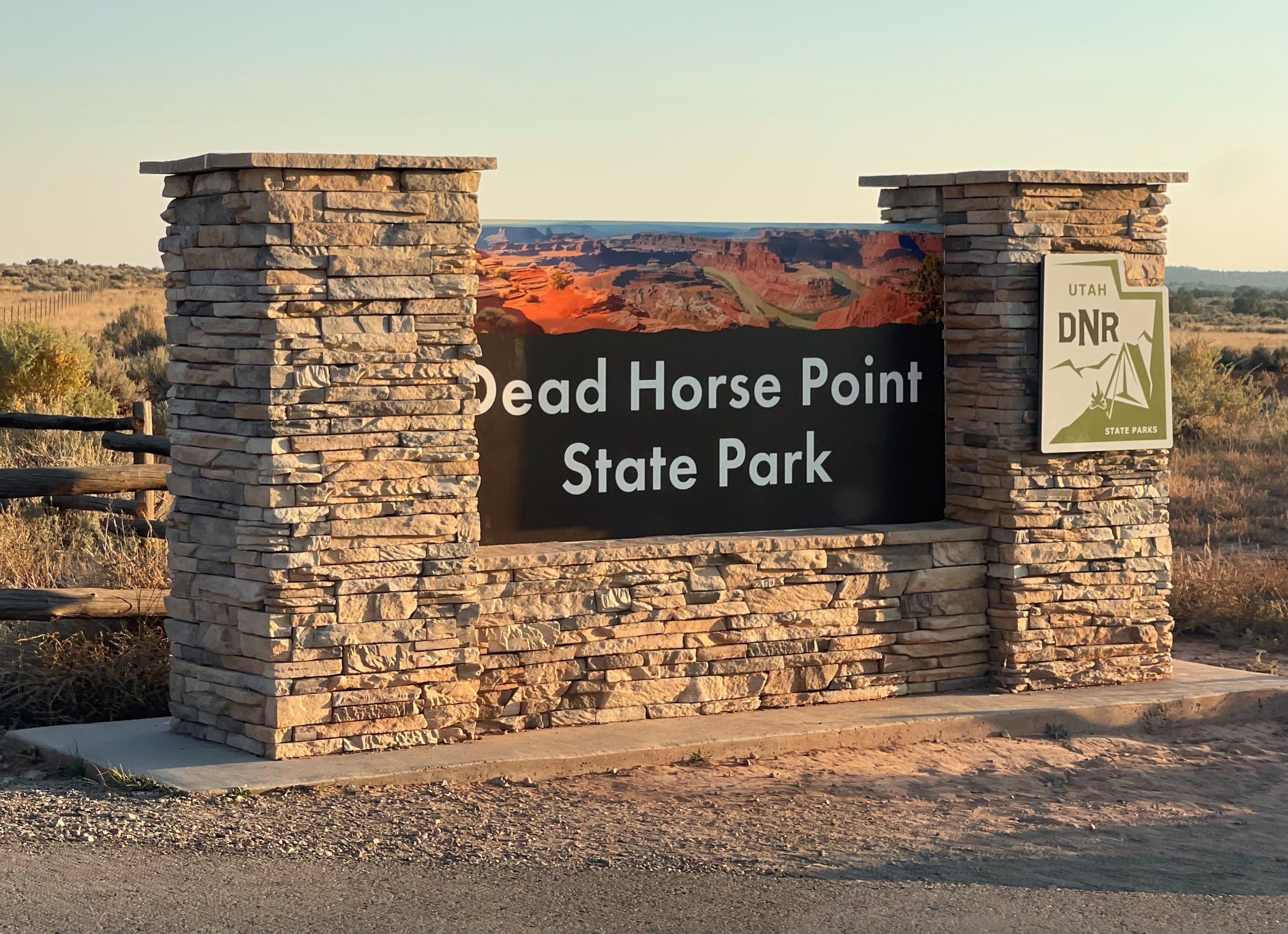
Close to sunset we drove up to Dead Horse Point State Park, supposedly a very nice outlook for both sunset and sunrise. The smoke was still rather heavy, though, and we didn’t really get a sunset worth photographing. Still nice to look at, though.
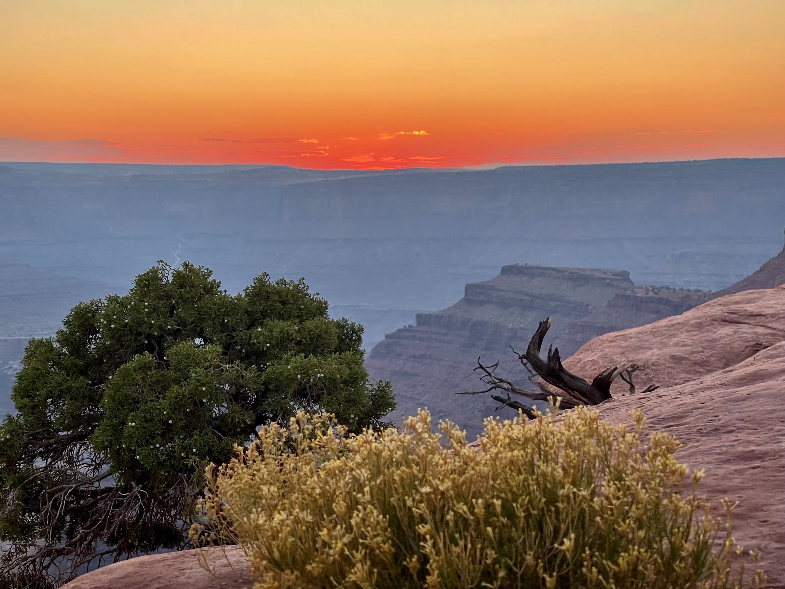
After sunset we returned to the very same campsite we had been at the night before.
Canyonlands and Dead Horse Point, the practical stuff
- How do you photograph Mesa Arch at sunrise? — Arrive well before dawn: the edge below the arch fills with tripods early. The trail from the road is short and easy. The best light lasts only a few minutes after the sun clears the horizon.
- How far is it from Moab? — Island in the Sky is about 30 miles from Moab, roughly 45 minutes by car. Dead Horse Point is on the same road, a little before the park.
- What about wildfire smoke? — In the fall, smoke from wildfires can drift in and wipe out the views within an hour, as it did for us. Check the air quality forecast before you plan a hike for the views.
- Is the national park pass valid at Dead Horse Point? — No. It is a state park with its own entrance fee. The Canyonlands entrance is covered by the national pass.
- Is Dead Horse Point better at sunset or sunrise? — Both are said to be good. Our sunset was spoiled by smoke, but the view of the river 2,000 feet below is worth the stop anyway.
- Where can you camp? — We stayed two nights at a free dispersed campsite on a dirt road off the road to Canyonlands, found with The Dyrt. Dead Horse Point has its own campground and yurts, and Moab has every kind of hotel.
- How to book — Canyonlands: Canyonlands National Park. Dead Horse Point entry and camping: Utah State Parks. Air quality and smoke: AirNow. Free campsites: The Dyrt. Hotels in Moab: Booking.com. Rental car: Hertz and the other big companies.
USA 2024 — all posts
- 1 — Chicago, the license in the car visor
- 2 — Highway 1, waiting for the fog to lift
- 3 — Santa Monica, the end of a road I never drove
- 4 — Los Angeles, the road named after the water
- 5 — Crystal Cove, a man who stayed there in 1944
- 6 — Catalina, hitchhiking by golf cart
- 7 — Santa Cruz Island, the dolphins on the way home
- 8 — Joshua Tree, “Don’t die today”
- 9 — Oatman, where the burros have names
- 10 — Grand Canyon, sunrise with a few hundred others
- 11 — Buckskin Gulch, checking the sky first
- 12 — Angels Landing, at seventy
- 13 — Bryce Canyon, hoodoos in the kiln
- 14 — Escalante, the road the Tiguan survived
- 15 — Capitol Reef, the park that was closed
- 16 — Monument Valley, and the ticket we didn’t get
- 17 — Mesa Arch, “Is your name Bo Sjosten?”
- 18 — Arches, nine minutes to spare
- 19 — Sleeping in the back of a Tiguan
- 20 — Permits, lotteries and timed entry in the national parks
- 21 — What things cost in the US, and the tip screen
- 22 — Three weeks in the West: the route, and what I would change