
Monument Valley, and the ticket we didn’t get
/
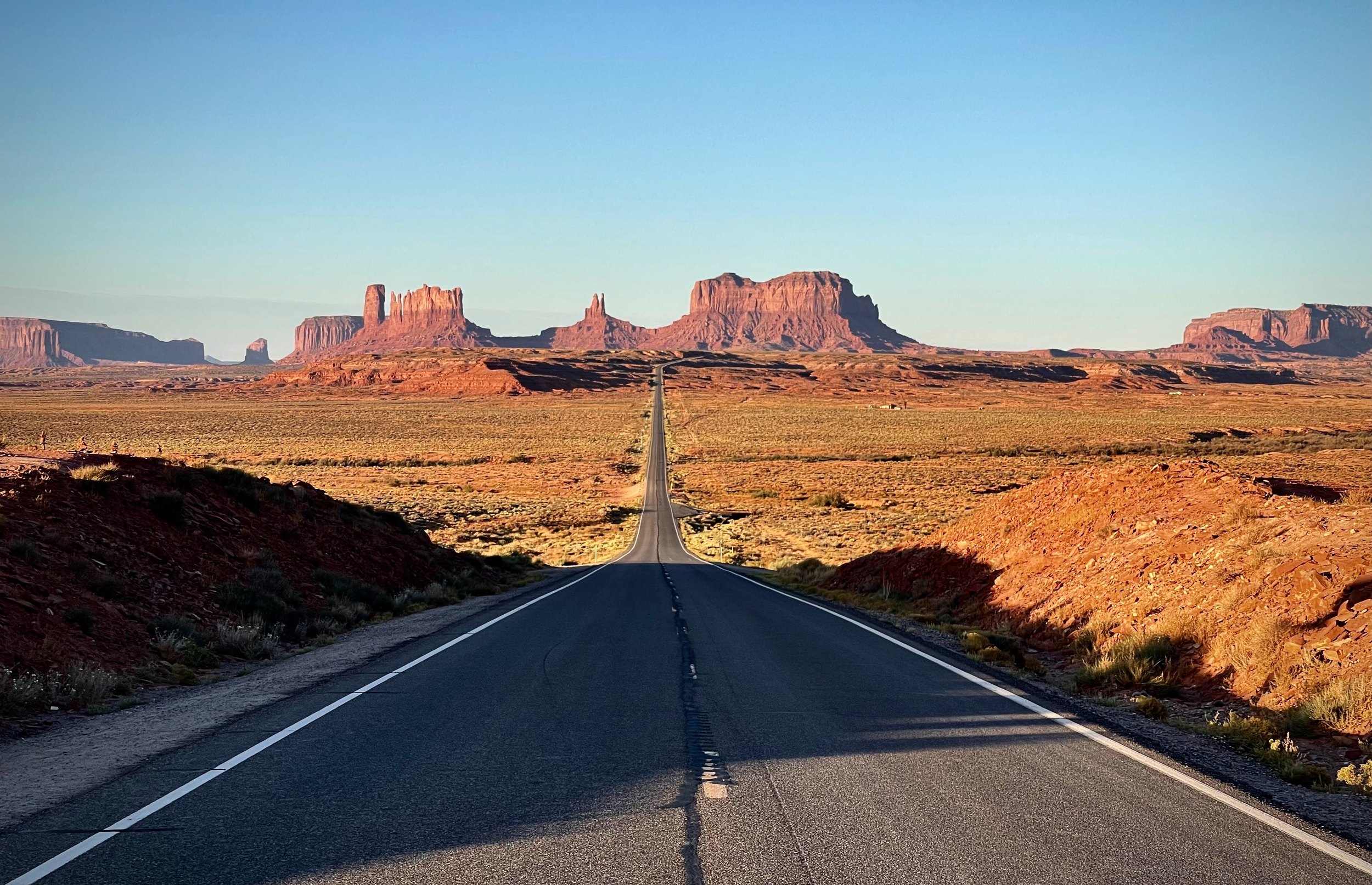
Yet another early morning. We packed up our campsite in the dark and set off for Forrest Gump Point and sunrise photos. We were one of the first ones there, but as sunrise approached it got quite busy with some photographers, but mostly Instagrammers. But we got our photos.
The loop through Monument Valley
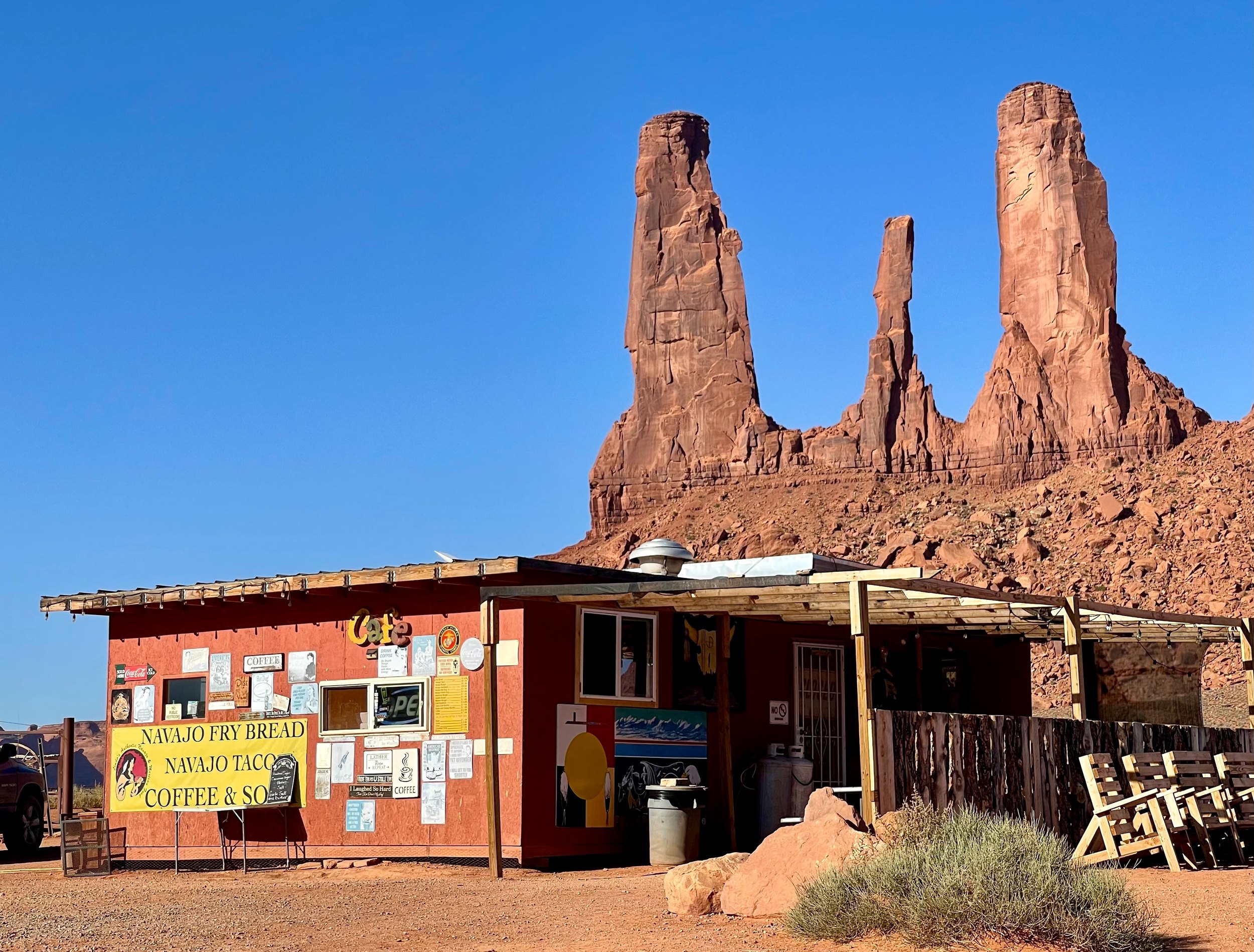
After sunrise was over we continued to Monument Valley and set out on the 25-mile scenic loop drive. It was a very dusty road, and I feel sorry for the poor souls that bought the guided tour in open vehicles, a truly miserable experience in the heat and dust.
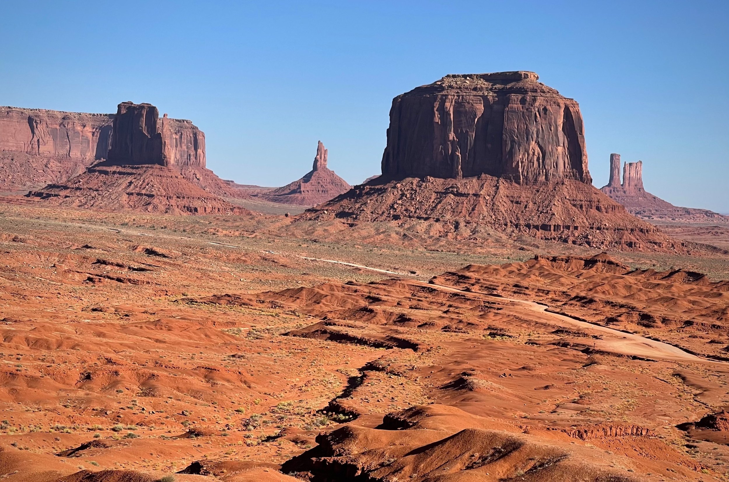
We stopped at all the viewpoints, but decided not to do the 3-mile hike around one of the monuments. A hot hike with low reward; we could see it all from the car. A bit hazy, but still impressive. Many cowboy movies have been filmed here.
Petroglyphs and Hovenweep
Once done with the loop we set off for Canyonlands National Park. On the way we stopped at two other parks and a museum.
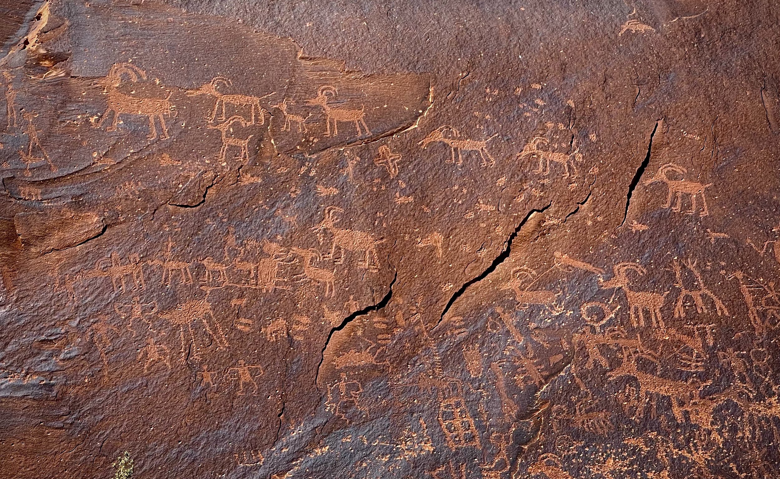
The first park had some petroglyphs, interesting to view but just a drive-up, no hiking necessary. A very short stop, but now we’ve seen petroglyphs.
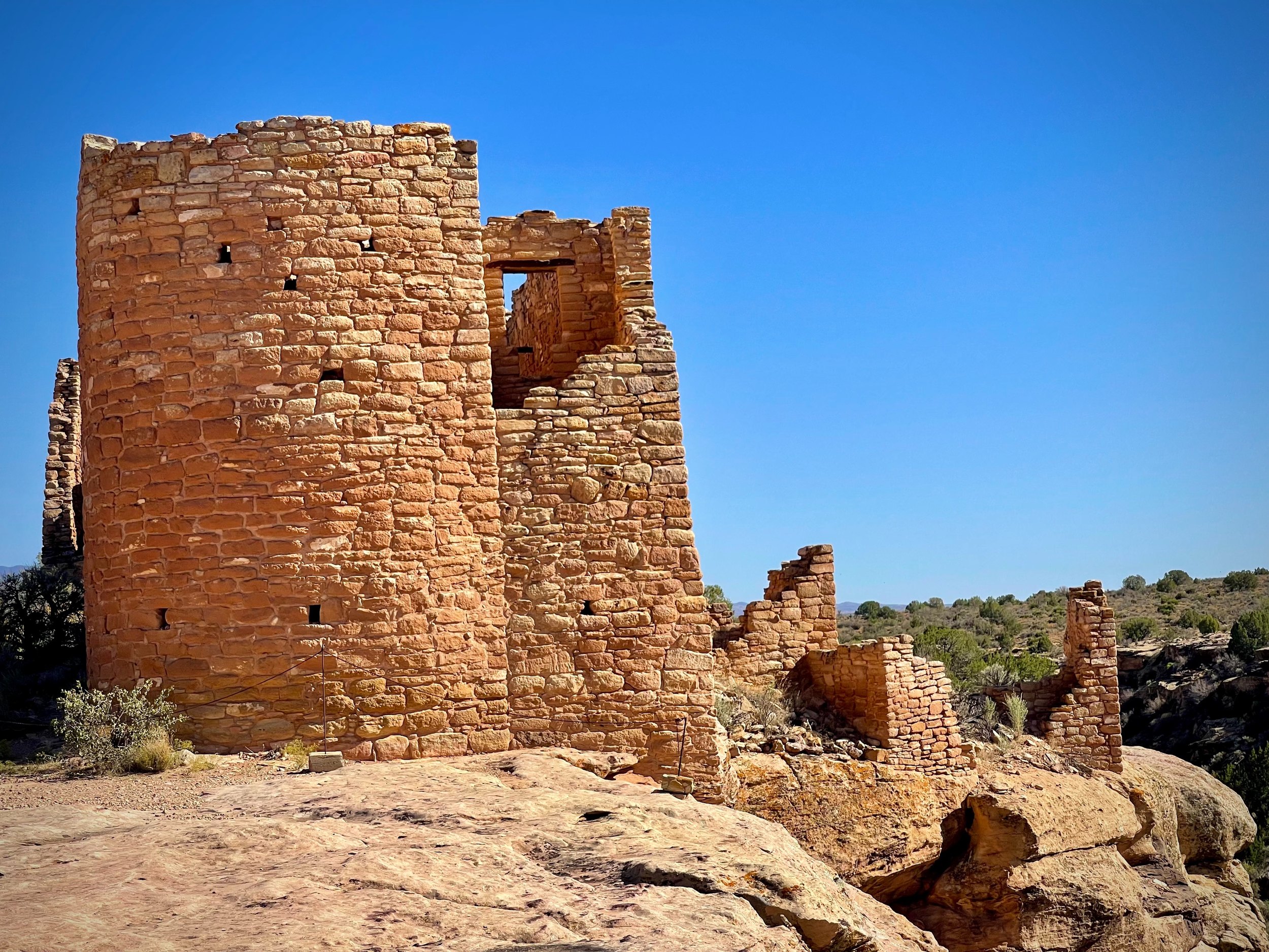
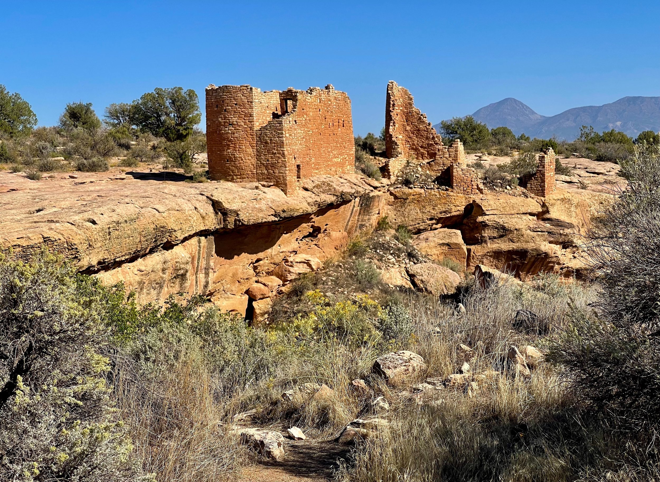
The second stop was Hovenweep National Monument. Here we took a hike around the canyon to see some well-preserved houses and towers built by the Puebloans in the 13th century. The construction methods seemed remarkably similar to what you would find in churches in Sweden from the same time period, only with different types of rock.
Blanding, and the ticket we didn’t get
With little time to spare we drove on toward Blanding and a museum and archeological dig. According to our GPS we only had 15 minutes before they closed. We missed a 30 mph sign and got pulled over for doing 48 mph in a 30 zone. The officer was going to give us a ticket, but once he realized my daughter had an international driver’s license he let us go: “too much bureaucracy”. We got lucky.
At the museum we got lucky again. Since it was so close to closing time, we didn’t have to pay to get in. We had time to see most of the indoor exhibits, and then went outside to see the archeological site that was still open.
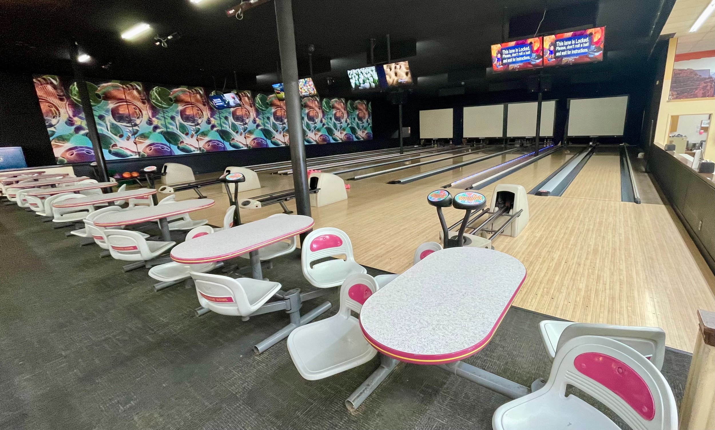
We stopped for dinner at the local bowling alley, which had an A&W inside that even served deep-fried shrimp.
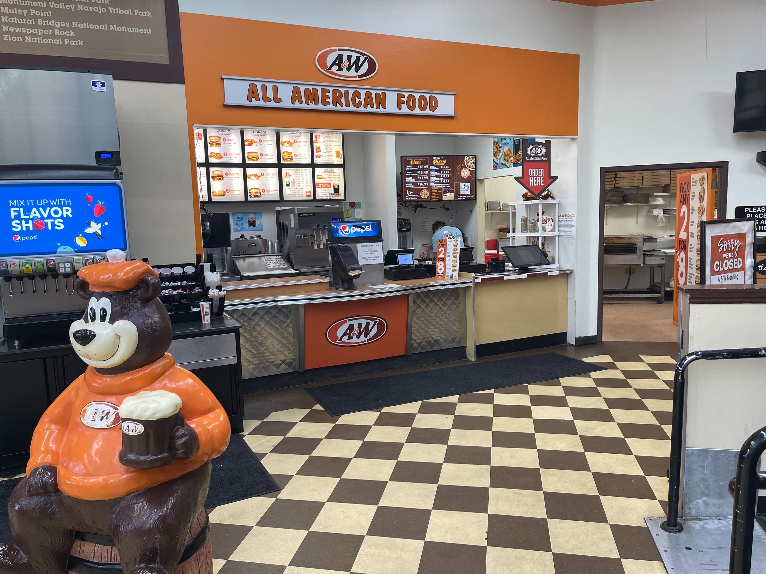
From Blanding we drove up to another random campsite found by my daughter, this time along a dirt road branching off the main road to Canyonlands. We set up camp, and I tried some more star photography. Very dark skies, with the Milky Way clearly visible.
Monument Valley to Blanding, the practical stuff
- Where is Forrest Gump Point? — On US 163 around mile marker 13, north of Monument Valley on the Utah side. Be there before sunrise if you want a spot, and watch the traffic: people stand in the middle of the road for their photo.
- Can you drive Monument Valley yourself? — Yes, the 17-mile Valley Drive, on dirt, from the visitor center. An ordinary car manages in dry weather if you take it slowly. It is dusty, so keep the windows up. In September 2026 heavy rain washed out parts of the road and closed it for a while; check before you go.
- Should you take a tour? — Only if you want to see the parts of the valley closed to private cars, which need a Navajo guide. The open trucks on the main loop looked miserable in the dust and heat.
- What does it cost? — Monument Valley is run by the Navajo Nation, and the national park pass is not valid. You pay an entry fee at the gate; check the current amount on the Navajo parks website.
- How long is the walk at Hovenweep? — The Rim Trail Loop around the Square Tower Group is about 1.5 miles and takes about an hour. Hovenweep is about 45 miles from Blanding on paved roads.
- What is the museum in Blanding? — Edge of the Cedars State Park Museum, with Ancestral Puebloan pottery inside and an excavated village outside. Watch your speed on the way in: the limit drops quickly to 30 mph.
- Where can you eat in Blanding? — We had dinner at the A&W inside the bowling alley. It served deep-fried shrimp.
- How to book — Monument Valley entry and Navajo-guided tours: Navajo Nation Parks & Recreation. Hovenweep: Hovenweep National Monument. Edge of the Cedars: Utah State Parks. Free campsites: The Dyrt. Hotels in Bluff, Blanding and Mexican Hat: Booking.com. Rental car: Hertz and the other big companies.
USA 2024 — all posts
- 1 — Chicago, the license in the car visor
- 2 — Highway 1, waiting for the fog to lift
- 3 — Santa Monica, the end of a road I never drove
- 4 — Los Angeles, the road named after the water
- 5 — Crystal Cove, a man who stayed there in 1944
- 6 — Catalina, hitchhiking by golf cart
- 7 — Santa Cruz Island, the dolphins on the way home
- 8 — Joshua Tree, “Don’t die today”
- 9 — Oatman, where the burros have names
- 10 — Grand Canyon, sunrise with a few hundred others
- 11 — Buckskin Gulch, checking the sky first
- 12 — Angels Landing, at seventy
- 13 — Bryce Canyon, hoodoos in the kiln
- 14 — Escalante, the road the Tiguan survived
- 15 — Capitol Reef, the park that was closed
- 16 — Monument Valley, and the ticket we didn’t get
- 17 — Mesa Arch, “Is your name Bo Sjosten?”
- 18 — Arches, nine minutes to spare
- 19 — Sleeping in the back of a Tiguan
- 20 — Permits, lotteries and timed entry in the national parks
- 21 — What things cost in the US, and the tip screen
- 22 — Three weeks in the West: the route, and what I would change