

Capitol Reef, the park that was closed
/
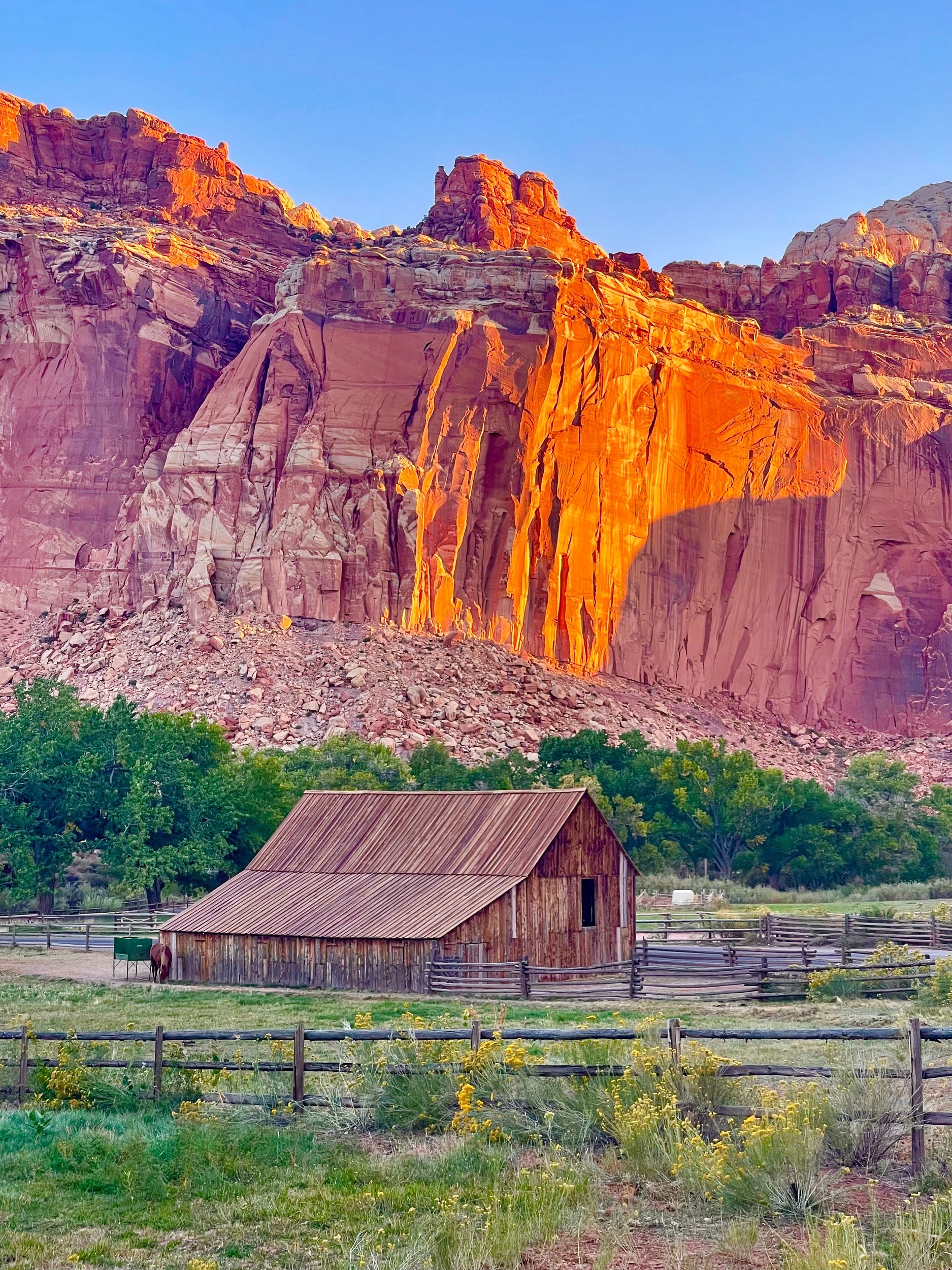
We woke up at sunrise and walked off to what we thought was a sunrise spot, but it was a bit difficult to find. We did find the Fruita historical district, and the old houses with the mountains in the background became our sunrise photos. Because of the orientation, Capitol Reef is more of a sunset park.
A park half closed
We had three items on the agenda: a hike to Hickman Bridge, the 8-mile scenic drive, and a longer drive to explore the supposedly beautiful northern end of the park. However, the 8-mile scenic drive was closed for construction in 2024, and the northern drive was impassable due to deep sand; even 4WD vehicles had problems.
Before deciding we went back to Torrey for breakfast, as there were no services at Capitol Reef. I had a delicious avocado toast, a new experience for me.
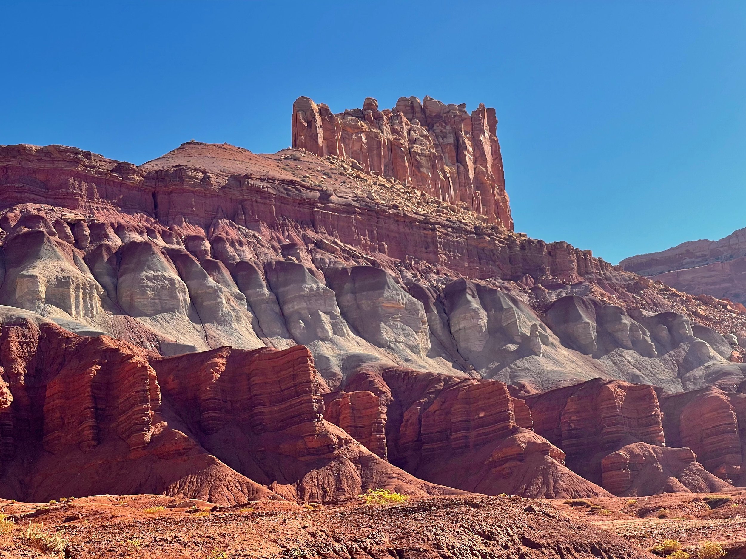
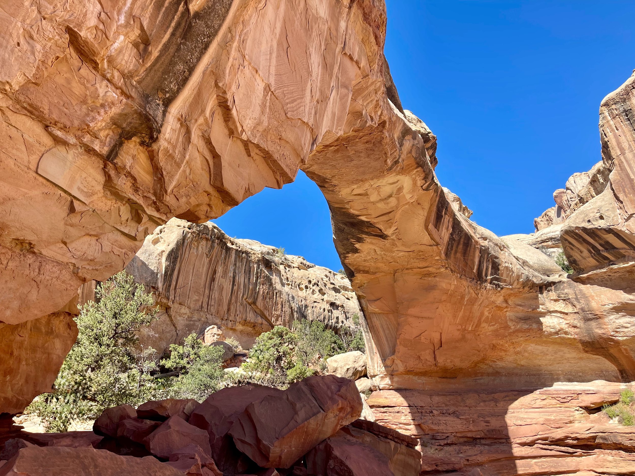
Left was a 1.5-mile hike to Hickman Bridge, an impressive arch. The arch was nice but just another arch, and the rest of the hike was not very interesting. All in all Capitol Reef was a bit of a disappointment due to the closures. Next time we’ll try to arrive for sunset, and hope the drives are open.
Hanksville and Natural Bridges
Next was the drive to Monument Valley. The first stop was Hanksville, a small town at the crossroads. We got gas and water, and stocked up on food at the local market. I also got a very nice roast beef sandwich from their deli, made fresh for only $6.
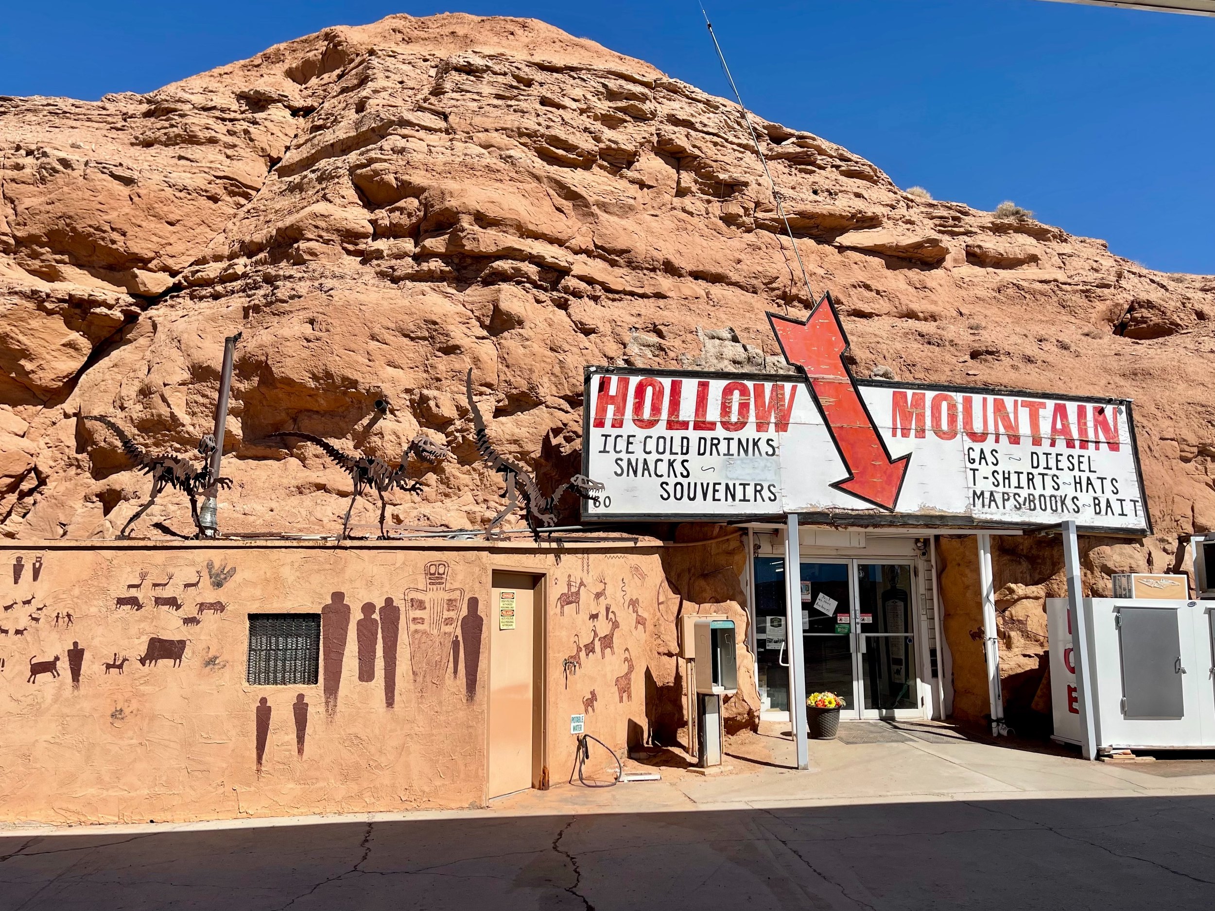
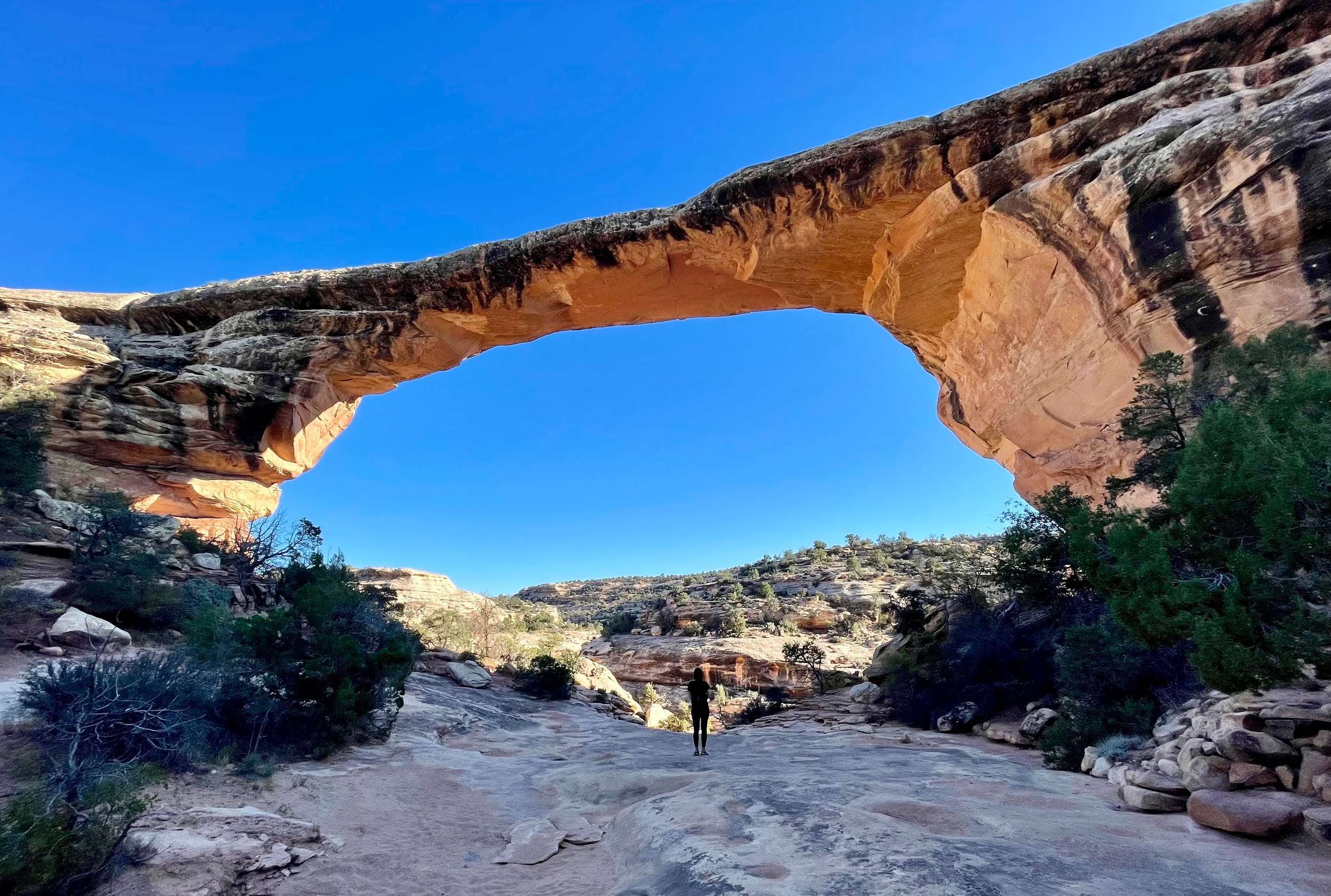
The road to Mexican Hat and Monument Valley was very scenic, what a rapidly changing landscape, from arid desert to red rock canyons. We stopped at another park, Natural Bridges National Monument, on the way, and hiked down to one of the more accessible arches.
Down the Moki Dugway
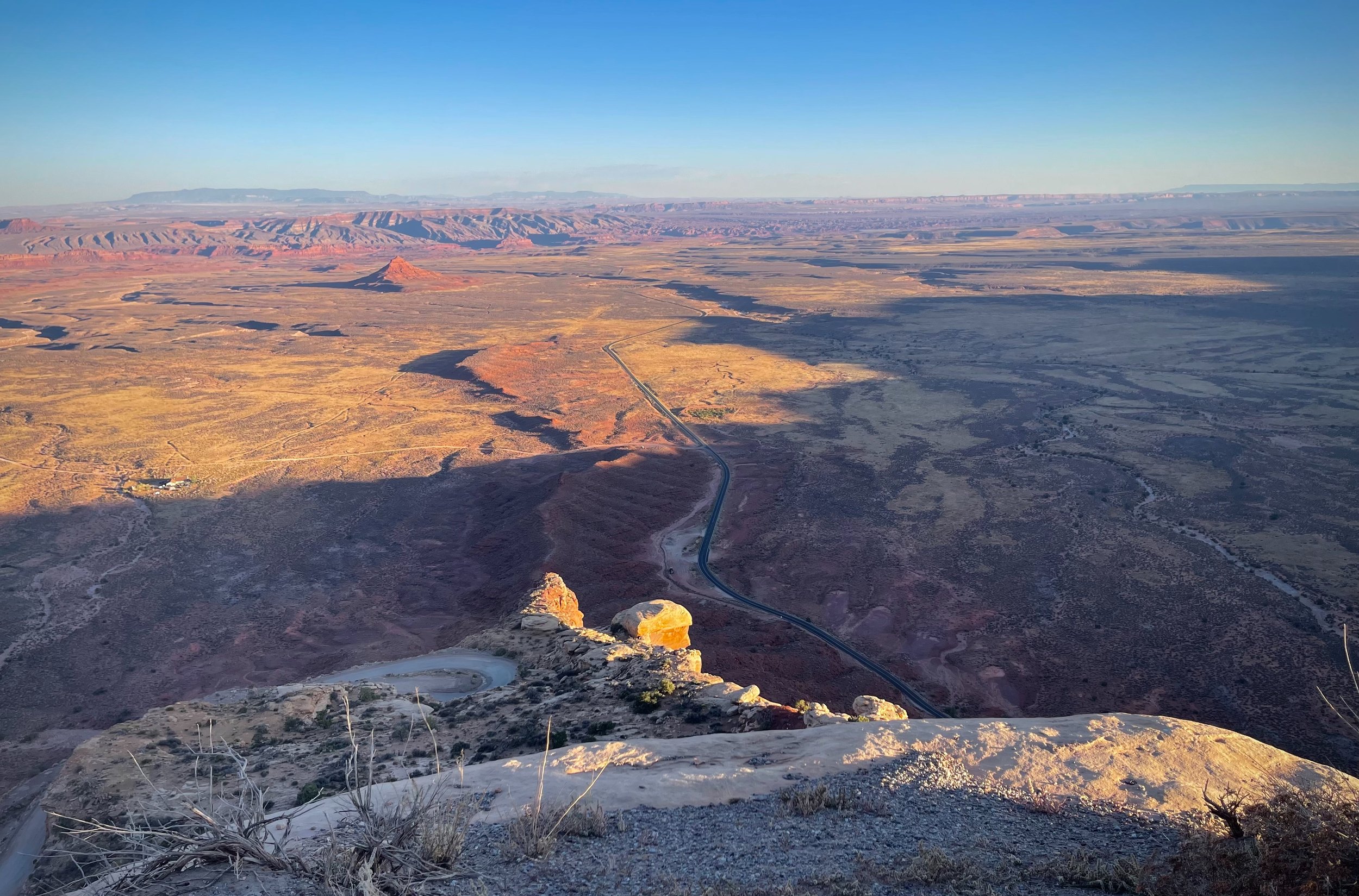
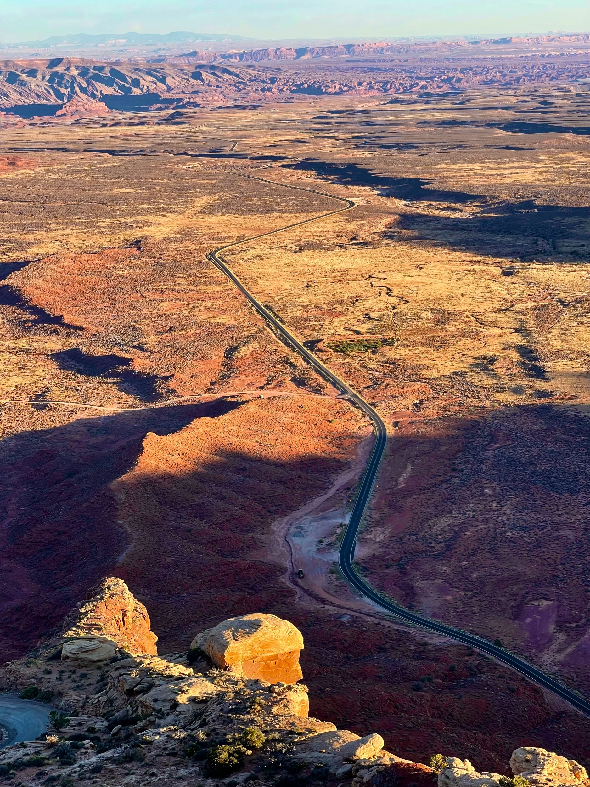
We took the steep and scenic Moki Dugway down toward Mexican Hat.
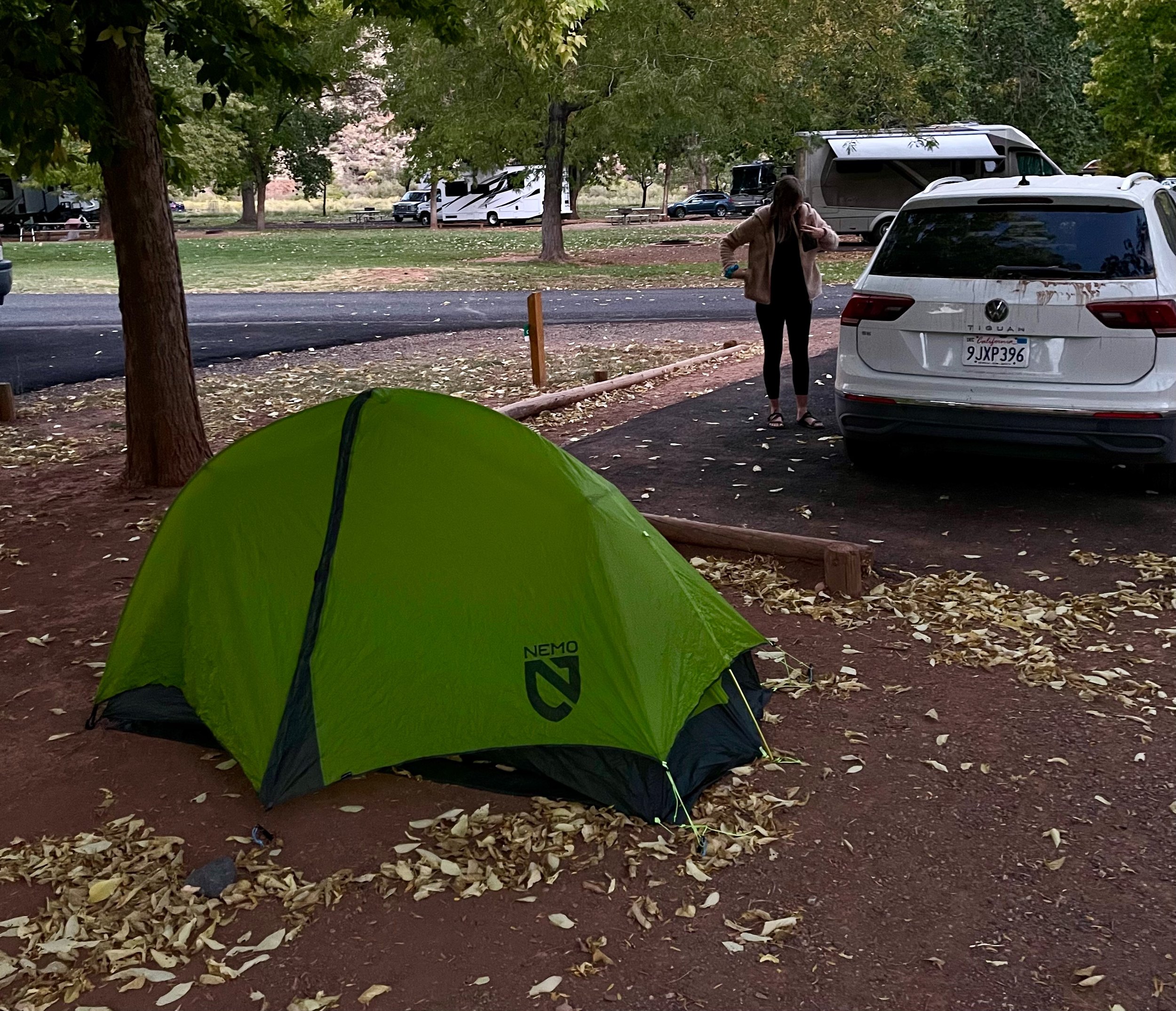
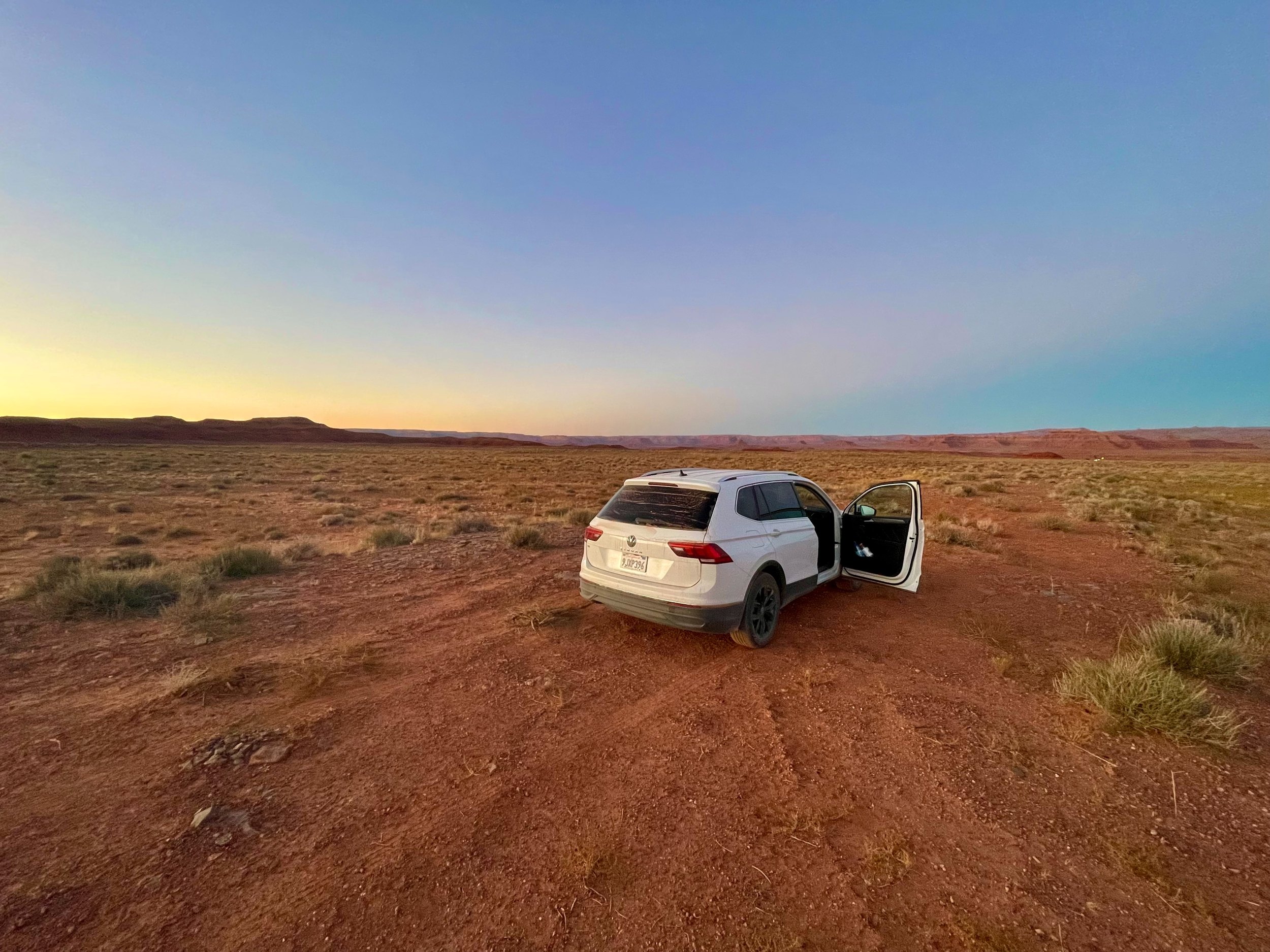
My daughter used an app called The Dyrt to find a free campsite. After driving down to Mexican Hat (named after a hoodoo) we returned to the campsite and set up, again in the dark. The sky was incredibly dark and clear, and I set up the tripod for some star photos. I’m excited to see how they turn out after I get back home.
Capitol Reef to Mexican Hat, the practical stuff
- Is Capitol Reef worth a visit? — It was a disappointment for us, mostly because of the closures. In 2024 the 8-mile Scenic Drive was closed for a rebuild, and the sandy road to the north of the park was impassable. Check the park website for road conditions before you go, and plan for sunset rather than sunrise.
- Where can you eat near Capitol Reef? — In Torrey, about 15 minutes west. There are no restaurants in the park; the Gifford House in Fruita sells pies.
- Can you camp in the park? — Yes, at the Fruita Campground, among the orchards. Book well ahead on Recreation.gov.
- How long is the Hickman Bridge hike? — About 1.8 miles there and back, with some climbing. The bridge is impressive; the rest of the walk less so.
- Where can you fill up between Capitol Reef and Monument Valley? — Hanksville. Gas, water and groceries, and a good deli sandwich for $6. After that, services are few and far apart.
- How do you see Natural Bridges? — A loop road inside the monument has overlooks for all three bridges, a few minutes’ walk from the car. Owachomo is the easiest to hike down to.
- Can you drive the Moki Dugway in a rental car? — Yes, in dry weather. It is three miles of graded gravel and tight switchbacks with a 1,200-foot drop. Long RVs and trailers should not try it.
- How do you find a free campsite? — We used The Dyrt app, which lists free sites on public land as well as campgrounds. Arrive before dark if you can; we did not, twice.
- How to book — Park information: Capitol Reef National Park and Natural Bridges National Monument. Fruita Campground: Recreation.gov. Free and paid campsites: The Dyrt. Hotels in Torrey: Booking.com. Rental car: Hertz and the other big companies.
USA 2024 — all posts
- 1 — Chicago, the license in the car visor
- 2 — Highway 1, waiting for the fog to lift
- 3 — Santa Monica, the end of a road I never drove
- 4 — Los Angeles, the road named after the water
- 5 — Crystal Cove, a man who stayed there in 1944
- 6 — Catalina, hitchhiking by golf cart
- 7 — Santa Cruz Island, the dolphins on the way home
- 8 — Joshua Tree, “Don’t die today”
- 9 — Oatman, where the burros have names
- 10 — Grand Canyon, sunrise with a few hundred others
- 11 — Buckskin Gulch, checking the sky first
- 12 — Angels Landing, at seventy
- 13 — Bryce Canyon, hoodoos in the kiln
- 14 — Escalante, the road the Tiguan survived
- 15 — Capitol Reef, the park that was closed
- 16 — Monument Valley, and the ticket we didn’t get
- 17 — Mesa Arch, “Is your name Bo Sjosten?”
- 18 — Arches, nine minutes to spare
- 19 — Sleeping in the back of a Tiguan
- 20 — Permits, lotteries and timed entry in the national parks
- 21 — What things cost in the US, and the tip screen
- 22 — Three weeks in the West: the route, and what I would change