
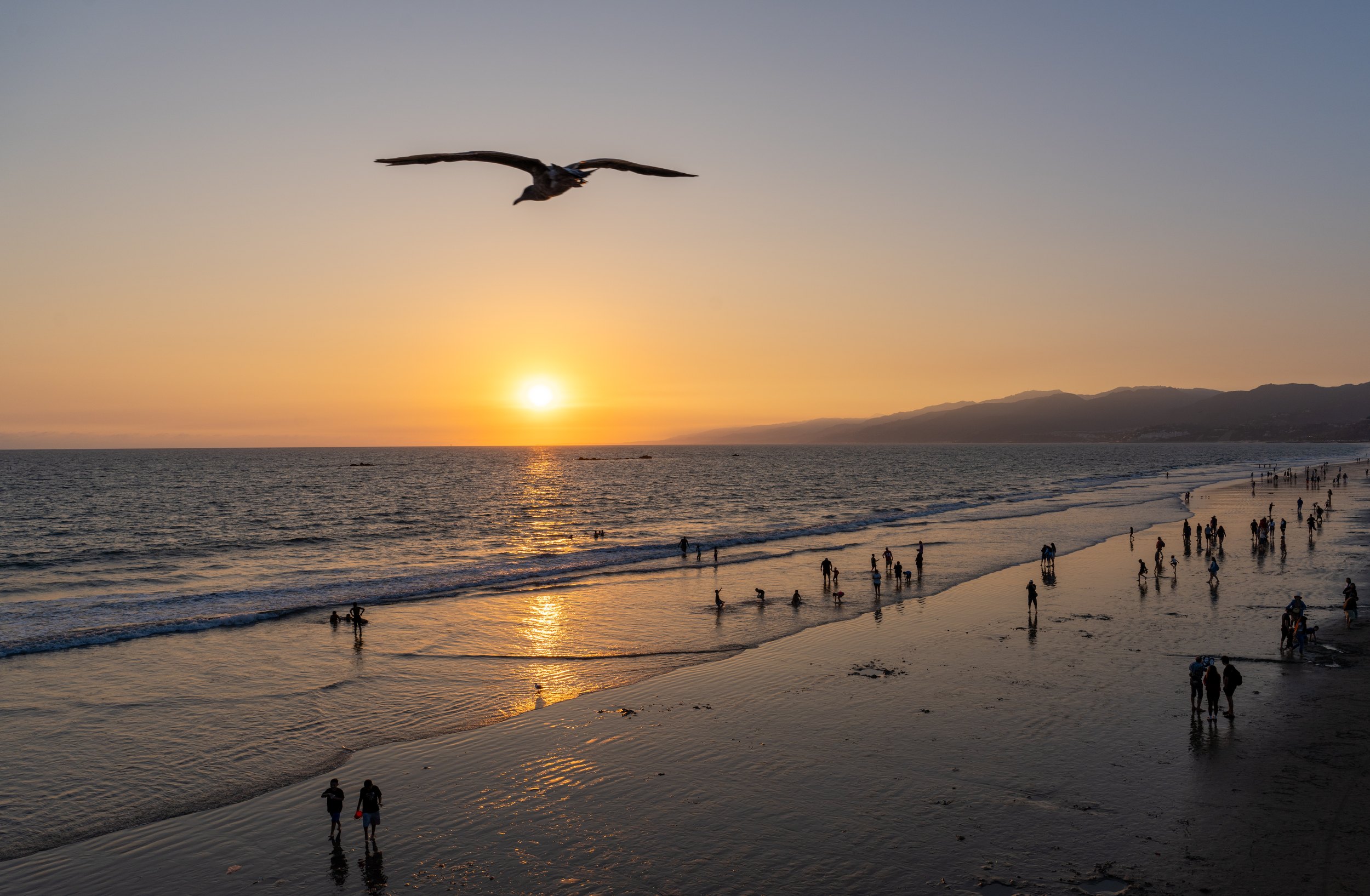
Santa Monica, the end of a road I never drove
/
Our first stop after gas and coffee was Solvang, the Danish village in the Santa Ynez Valley. My daughter bought some pastries. Otherwise there was nothing of interest, just Danish stuff. As a Swede I did not need to drive to California to see a Danish windmill.
Above the clouds
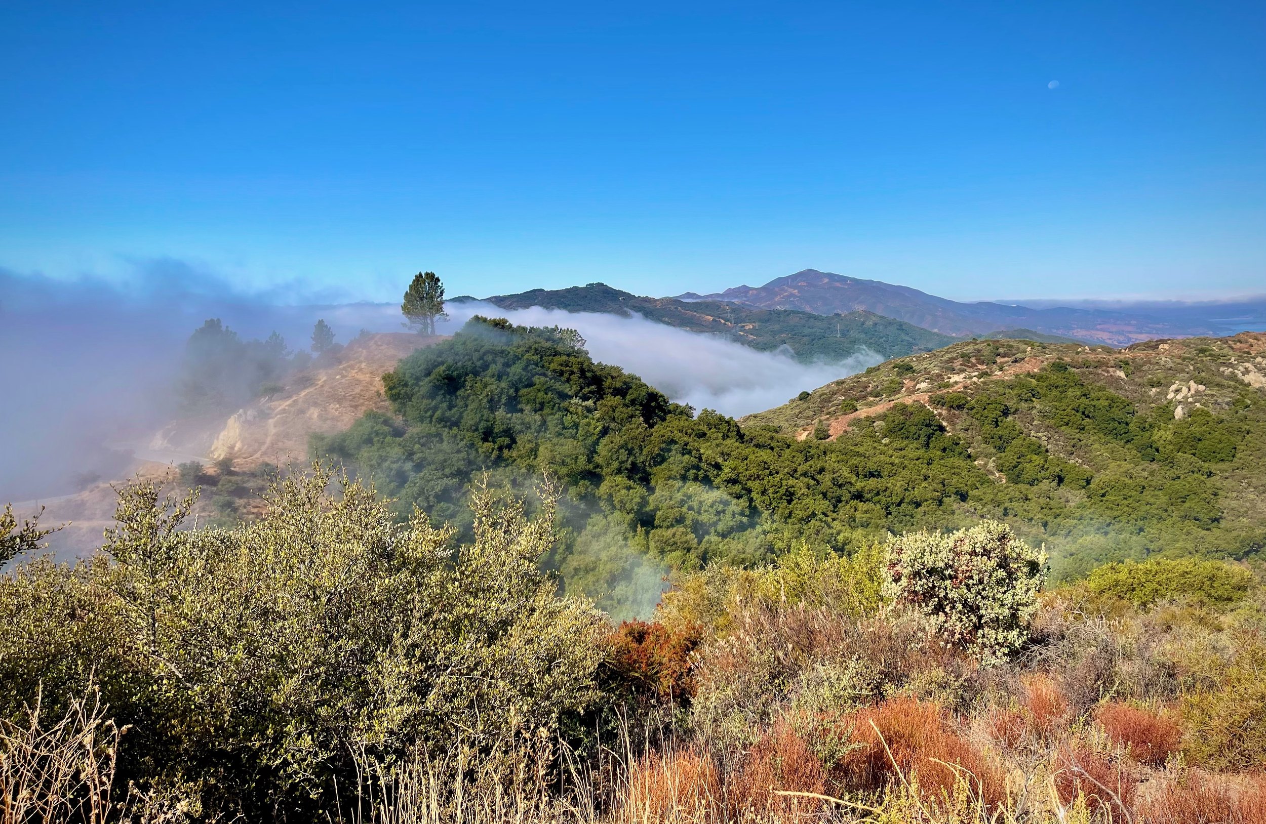
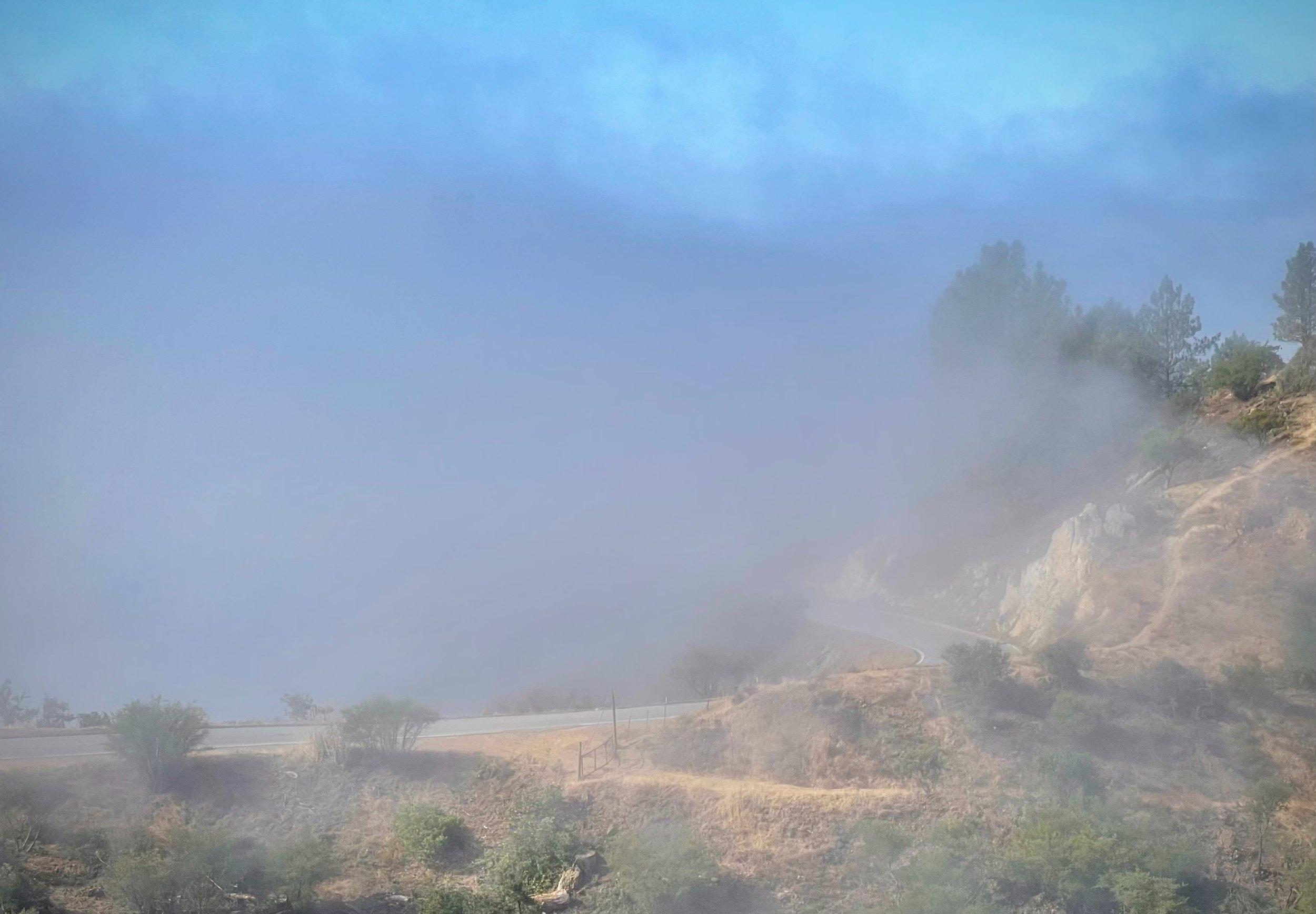
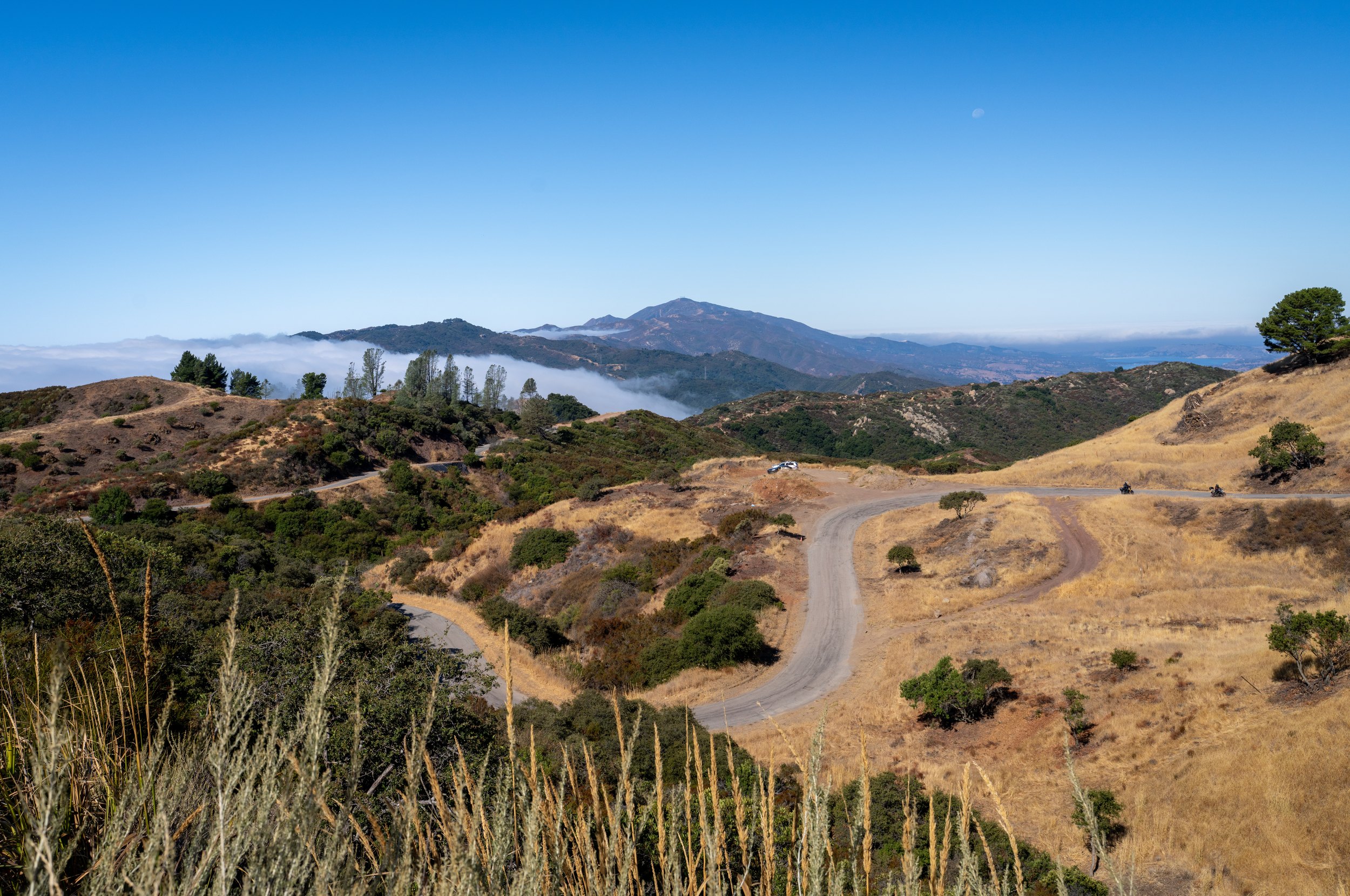
From Solvang we took Camino Cielo toward Santa Barbara. The road winds along the hilltops above the marine layer, the low cloud that lies over this coast most mornings. Cool air off the Pacific is trapped under warmer air above it, so the cloud lies in a flat sheet, and a road high enough on the ridge runs above it in the sunshine. A very beautiful drive.
Back on Highway 1 we stopped in Ventura Harbor to learn more about the Channel Islands. They showed us a film at the visitor center, and we decided to try to get out to the islands on Thursday.
A rattlesnake above Malibu
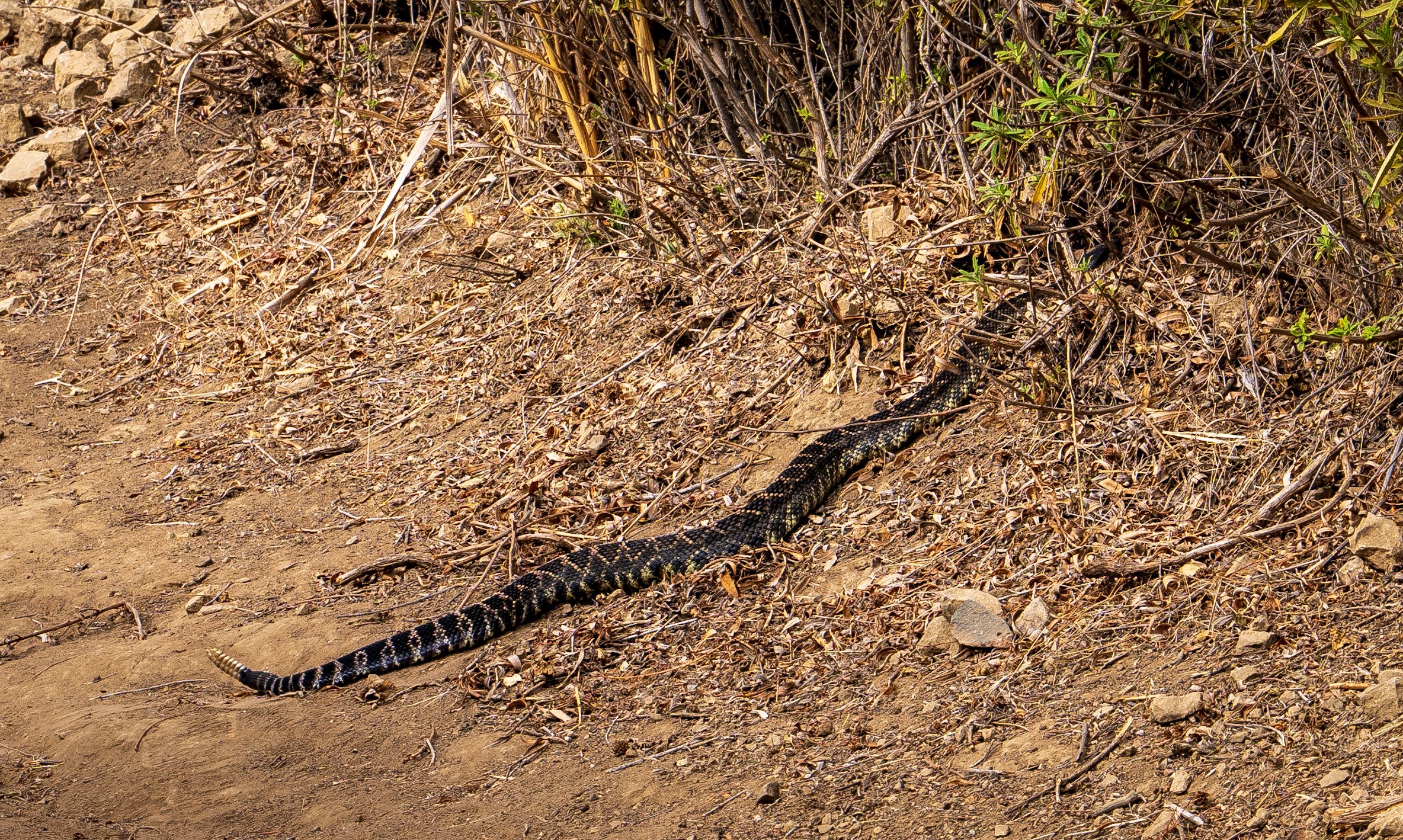
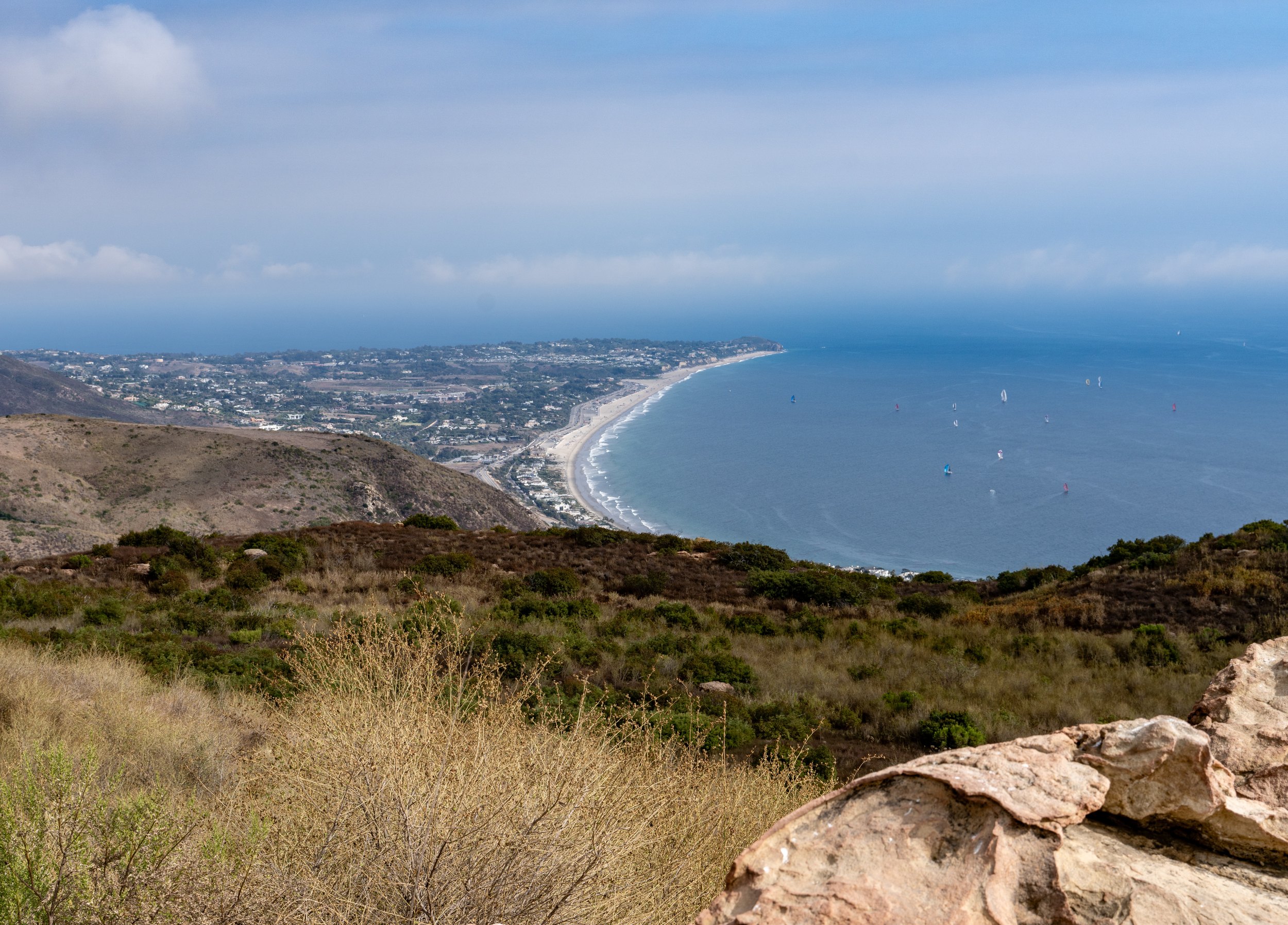
When we reached Malibu we turned off Highway 1 and went up into the hills for a short hike and a view over Malibu. The big excitement was the rattlesnake on our path. He had no interest in us and slithered off into the bushes.
The end of the trail
We followed Highway 1 down to Santa Monica Pier to see the End of the Trail sign for Route 66, and we stayed for the sunset.
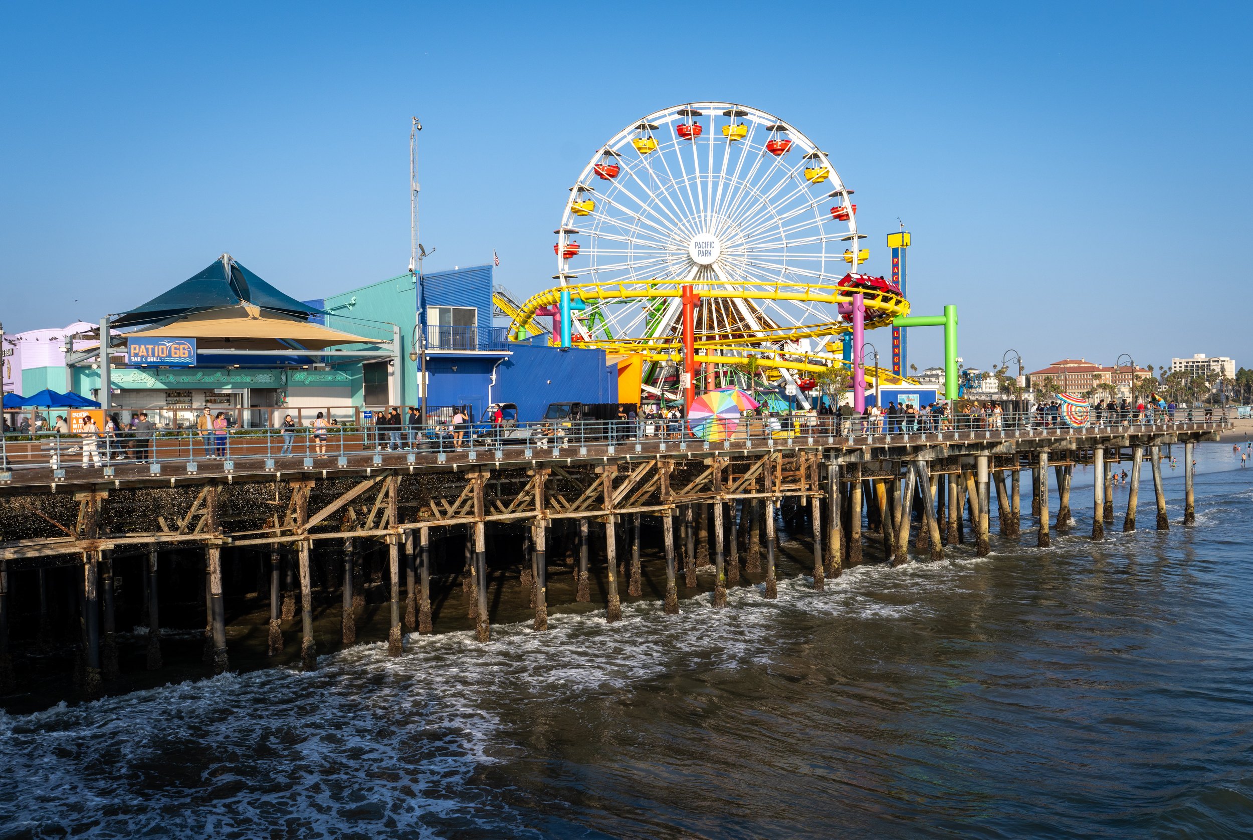
The sign is a fine sign, and it stands in the wrong place.
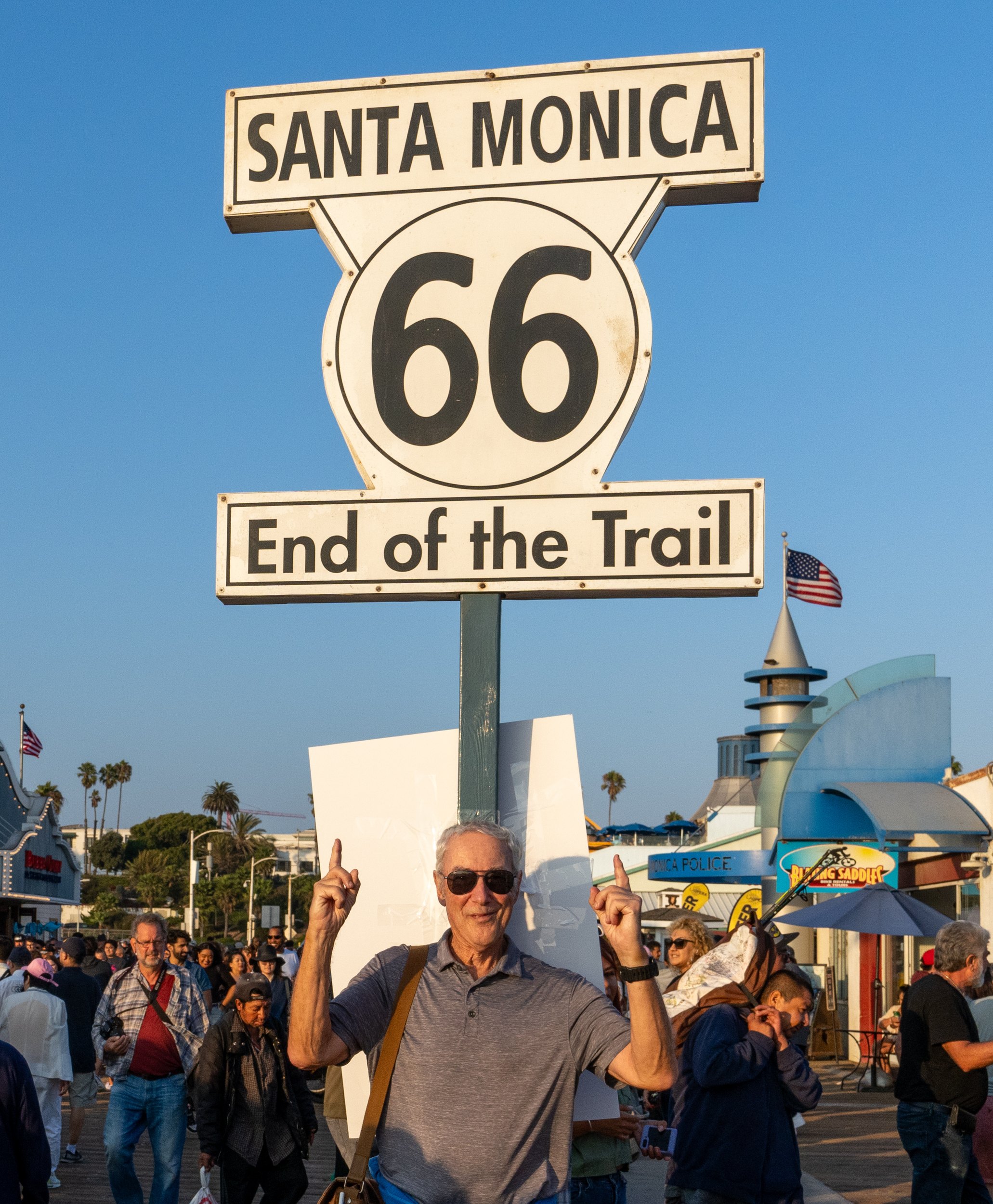
When Route 66 was laid out in 1926, it ended in downtown Los Angeles, at Seventh Street and Broadway. Ten years later it was extended west to Santa Monica, to the corner of Lincoln and Olympic Boulevards, where it met another highway. Federal highways are supposed to connect to other highways, not run out onto piers, so that busy, unremarkable intersection a few blocks from the beach was the official end of Route 66 for nearly thirty years.
The pier became the end anyway, because that is where people went once they could see the ocean. On November 11, 2009, the highway’s 83rd birthday, a procession of 66 vintage cars and motorbikes drove the last stretch to the pier, and the End of the Trail sign was unveiled there, a replica of a long-lost original. The California Route 66 Preservation Foundation calls the pier the spiritual end of the road. The official end is still at the traffic lights on Lincoln.
I had planned to arrive here after 2,400 miles. I arrived after one returned rental car, two flights and a stretch of coast road, at a sign marking an end the road never had. It suited me well enough. A ceremonial end, for a trip that never happened.
One more errand
We had a hotel in Anaheim, but one task was left. Now that my license had caught up with me, we drove back to LAX to add me as a driver on the car. That took about an hour and a half, and we finally got to our room around ten, after a long day with a lot of driving.
Danish pastries, a road above the clouds, a rattlesnake, and the end of Route 66. Not one of them had been in my original plan.
Solvang to Santa Monica, the practical stuff
- Is Solvang worth a stop? — If you like Danish pastries, yes. It is a Danish-themed town of about 6,000 people in the Santa Ynez Valley, founded by Danish immigrants in 1911.
- What is Camino Cielo? — A narrow mountain road along the ridge above Santa Barbara. On mornings with a marine layer it runs above the clouds.
- Where can you learn about the Channel Islands? — At the national park visitor center in Ventura Harbor, which shows a film about the islands and has information on boat trips.
- Are there rattlesnakes on the trails above Malibu? — Yes. Ours slid off into the bushes. Watch where you put your feet.
- Where does Route 66 actually end? — Officially at Lincoln and Olympic Boulevards in Santa Monica. The End of the Trail sign on Santa Monica Pier is symbolic, put up in 2009.
- Can you add a second driver to a rental car later? — Yes, at a rental office, with the driver and the license present. At LAX it took us an hour and a half.
- How to book — Channel Islands information: Channel Islands National Park. Route 66 in Santa Monica: Santa Monica Travel & Tourism. Hotels: Booking.com.
USA 2024 — all posts
- 1 — Chicago, the license in the car visor
- 2 — Highway 1, waiting for the fog to lift
- 3 — Santa Monica, the end of a road I never drove
- 4 — Los Angeles, the road named after the water
- 5 — Crystal Cove, a man who stayed there in 1944
- 6 — Catalina, hitchhiking by golf cart
- 7 — Santa Cruz Island, the dolphins on the way home
- 8 — Joshua Tree, “Don’t die today”
- 9 — Oatman, where the burros have names
- 10 — Grand Canyon, sunrise with a few hundred others
- 11 — Buckskin Gulch, checking the sky first
- 12 — Angels Landing, at seventy
- 13 — Bryce Canyon, hoodoos in the kiln
- 14 — Escalante, the road the Tiguan survived
- 15 — Capitol Reef, the park that was closed
- 16 — Monument Valley, and the ticket we didn’t get
- 17 — Mesa Arch, “Is your name Bo Sjosten?”
- 18 — Arches, nine minutes to spare
- 19 — Sleeping in the back of a Tiguan
- 20 — Permits, lotteries and timed entry in the national parks
- 21 — What things cost in the US, and the tip screen
- 22 — Three weeks in the West: the route, and what I would change