

Highway 1, waiting for the fog to lift
/
We took the streetcar downtown early to pick up the rental car at eight. It was a white VW Tiguan, big enough for everything we had, which on this trip turned out to be a lot. We were on Highway 1 before ten.
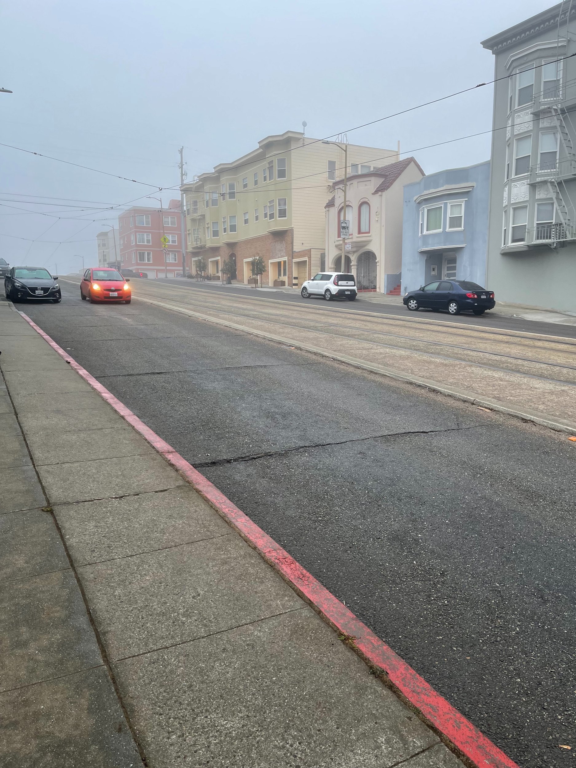
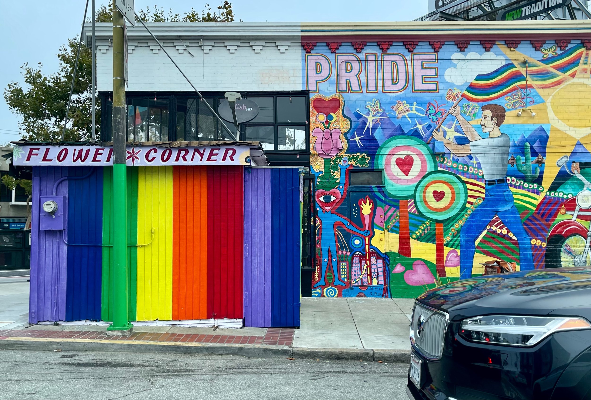
The first stop was Shark Fin Cove near Davenport, for a short hike, and then Natural Bridges in Santa Cruz. While we were there we decided to call on an old friend who lives in Santa Cruz, on the off chance that he was home. He was, and we spent a while catching up on five years.
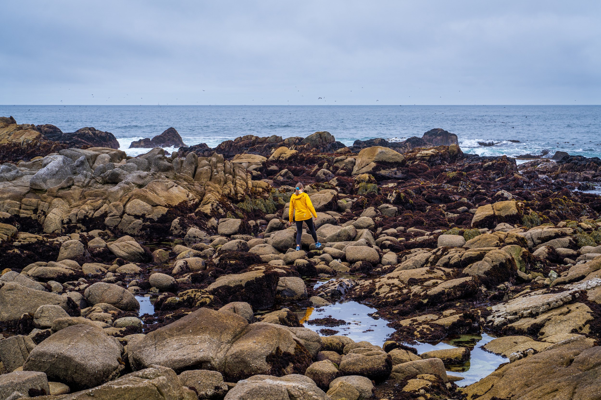
In Monterey we explored the tide pools, waiting for the fog to clear. It mostly did not.
The road that stops at Big Sur
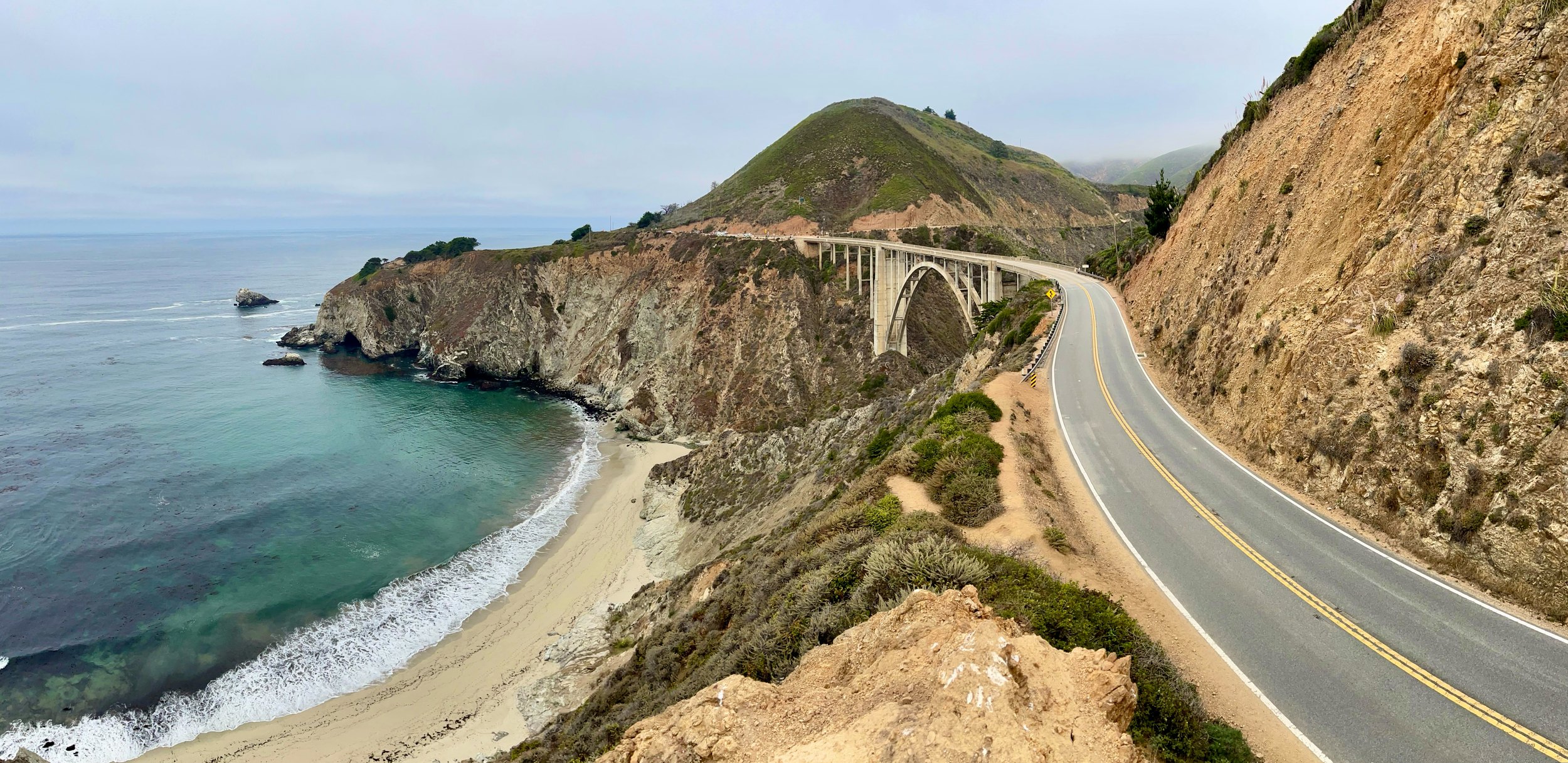
Our last stop of the day was Big Sur. We drove down past Bixby Bridge, the picture everyone takes on this coast, and I took it too. We could not continue south on Highway 1, because a section was closed, so after Big Sur we turned around and drove back to our motel in Monterey.
The coast has been winning its arguments with the road for a while. In January 2023 a landslide called Paul’s Slide buried part of the highway further south. In February 2024 two more came down, Dolan Point and the much bigger Regent’s Slide. At the end of March 2024 a piece of the southbound lane near Rocky Creek, just north of Bixby Bridge, fell into the sea. When we drove it in September, traffic passed Rocky Creek one lane at a time on a signal, and the road was closed altogether south of Big Sur at Regent’s Slide. Eight days later Caltrans announced that the ground there was still cracking and that it would not reopen that year.
So that was my second turnaround in three days. At O’Hare a man at a gate had sent me back. Here it was a mountain, and the mountain was more convincing.
A waffle in King City
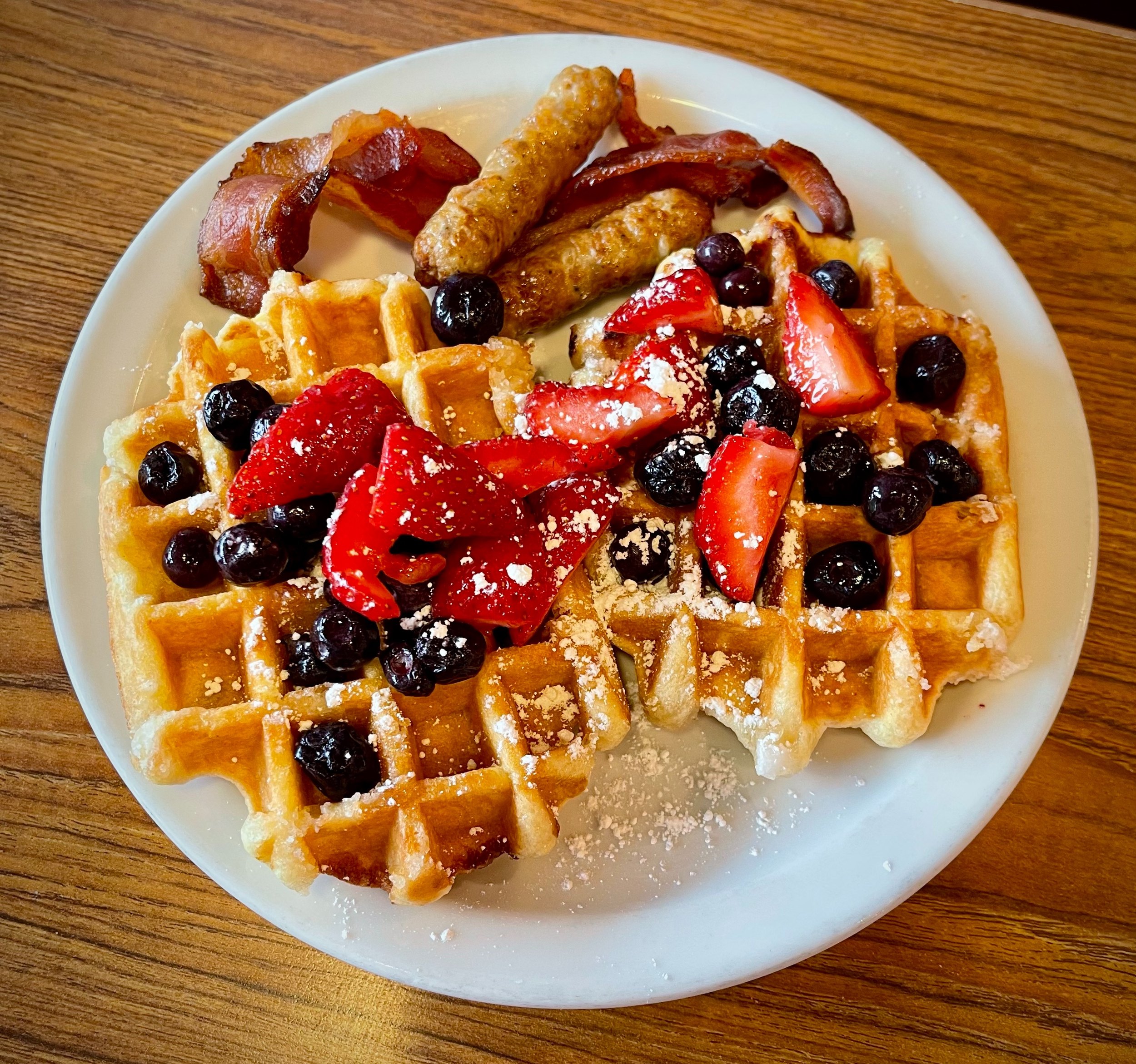
We were up at half past six for an early start and took 101 south for an hour, then stopped for breakfast at Denny’s in King City. The quality has improved since my last visit, and breakfast was excellent. So had the prices: $39 for two people eating waffles.
Morro Bay
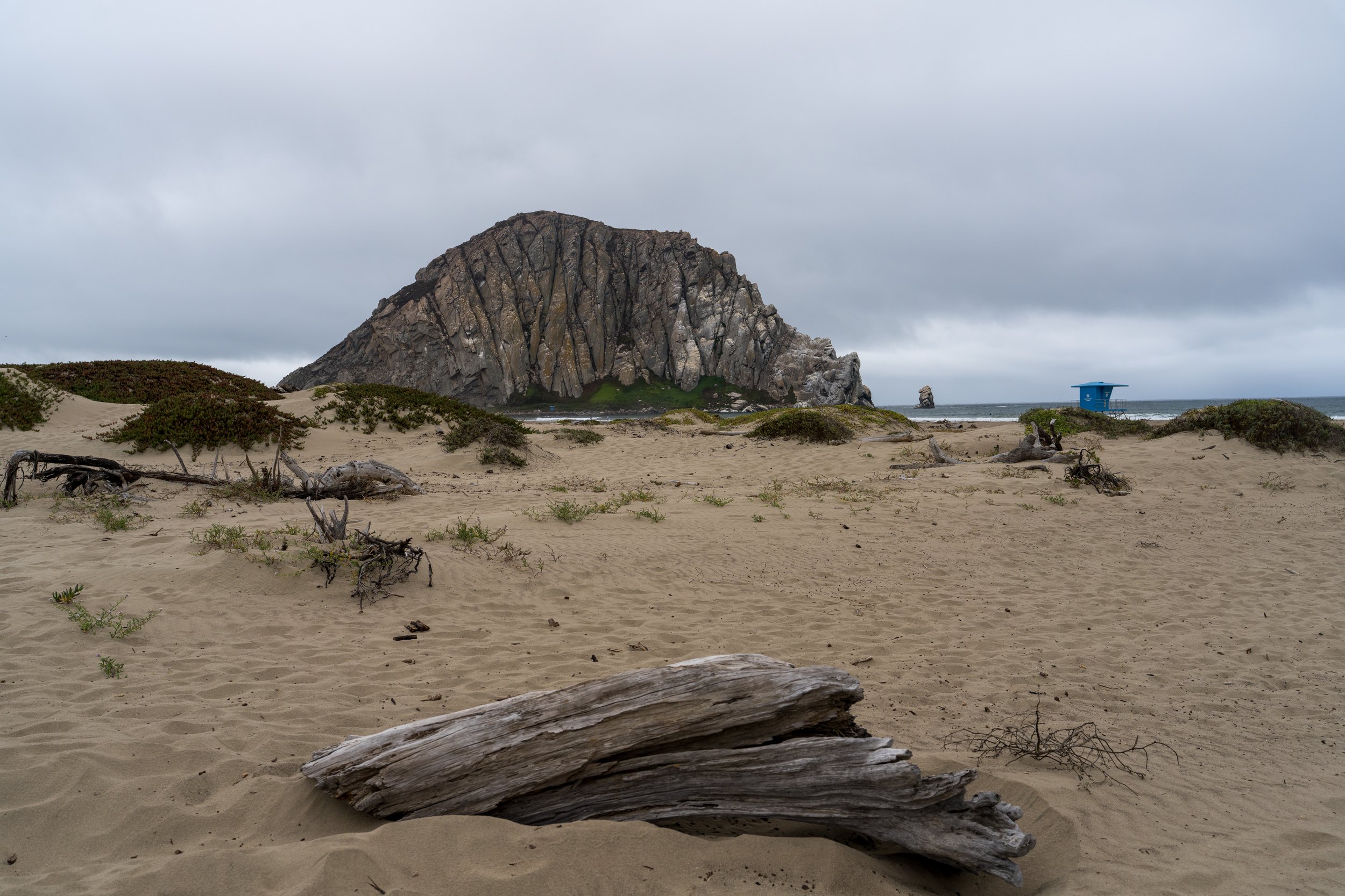
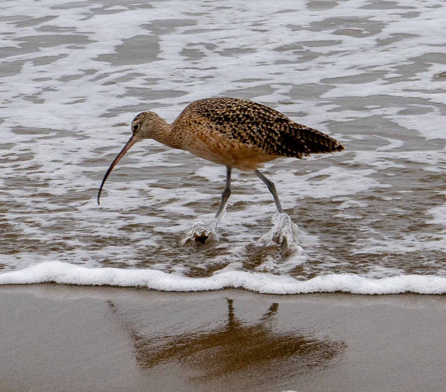
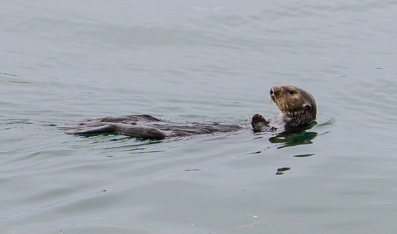
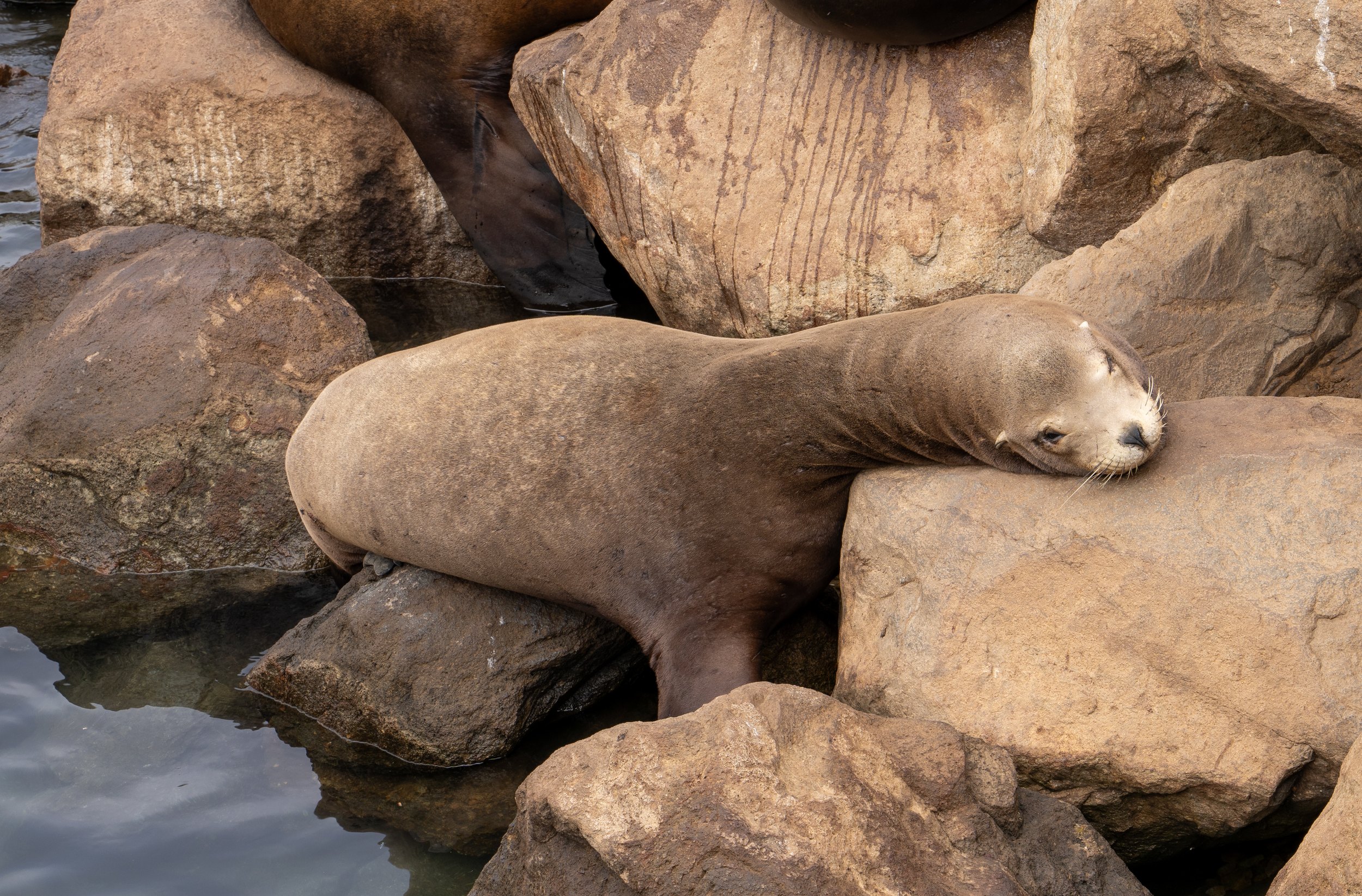
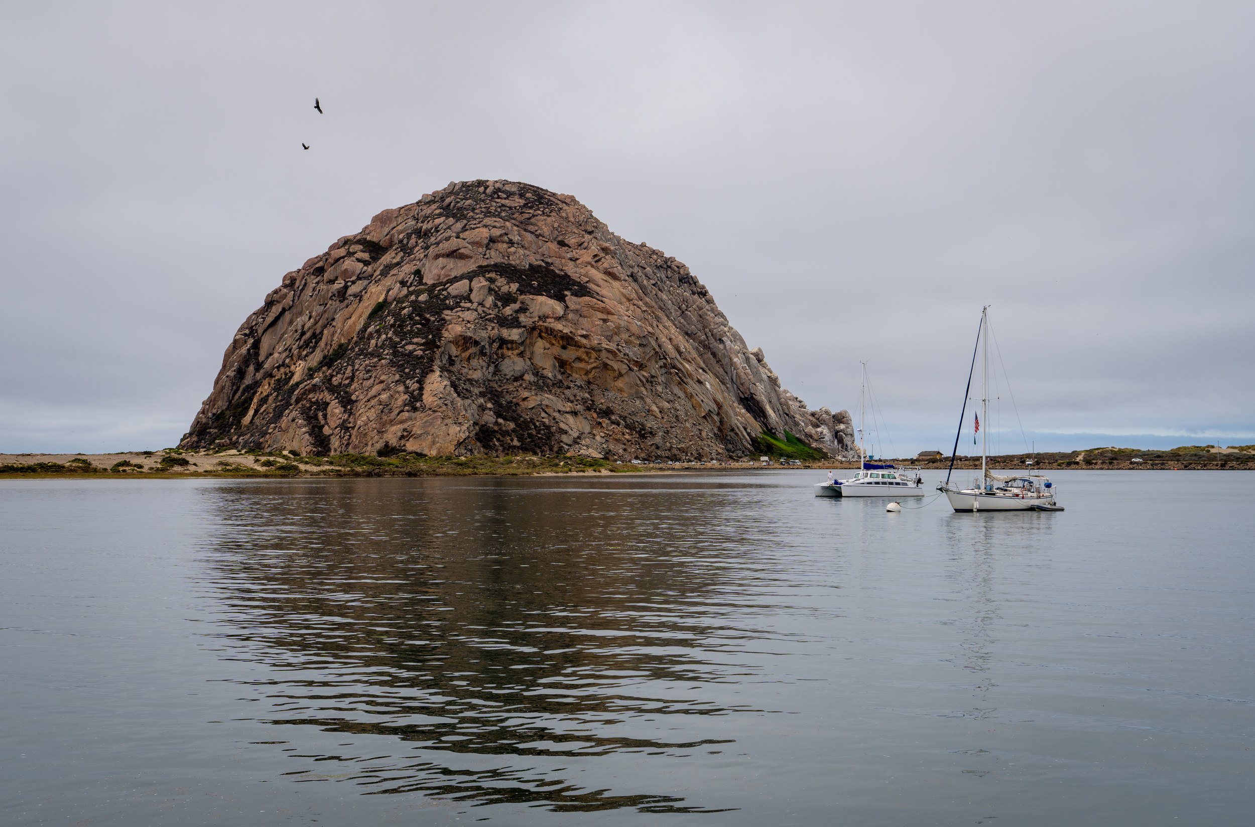
We continued down the coast to Morro Bay. The fog was still with us, so we wandered around town waiting for an opening. Morro Bay is a lot like Santa Cruz, only less busy and less touristy. The wildlife did not seem to mind the weather either.
The Bluff Trail
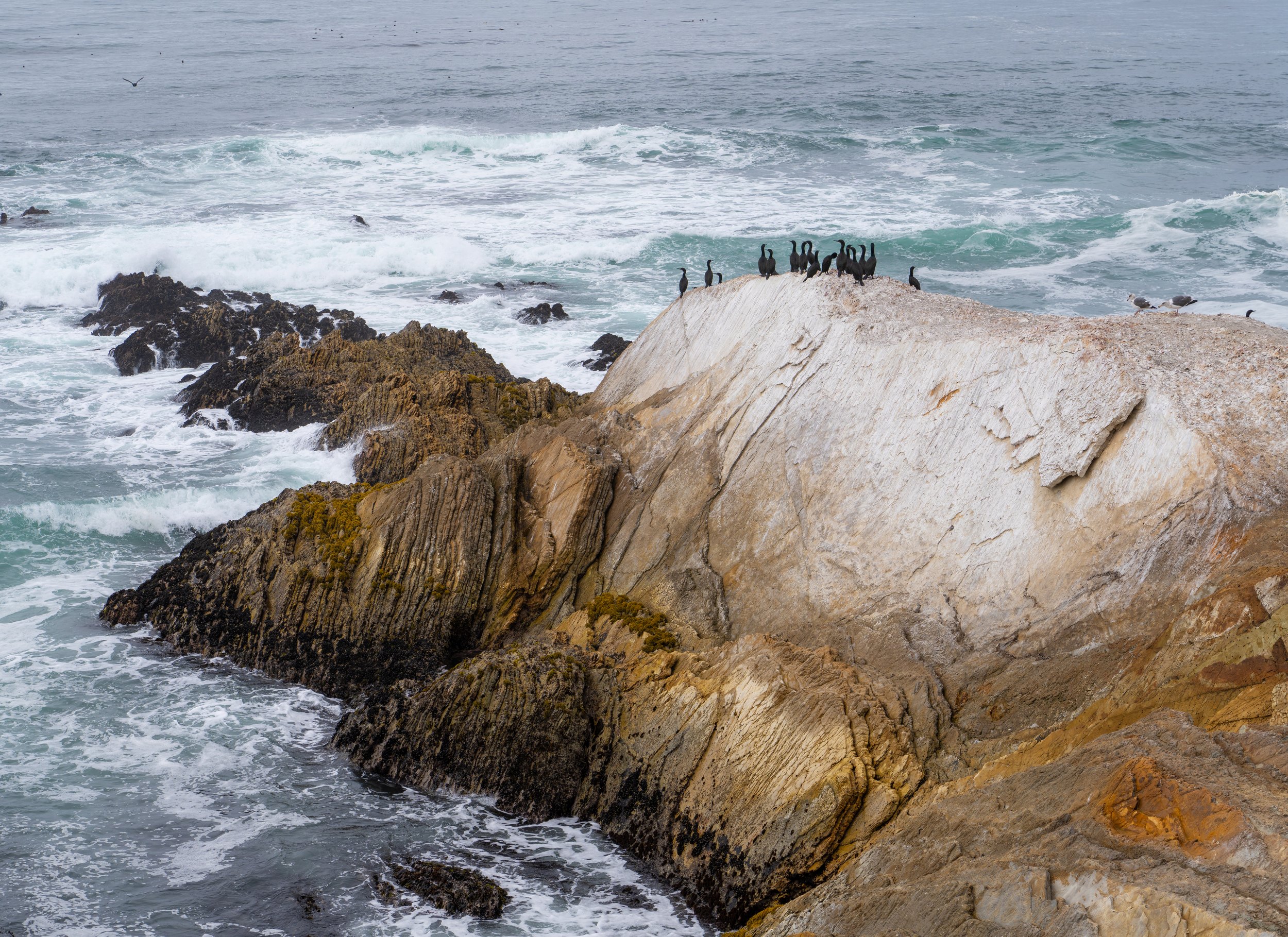
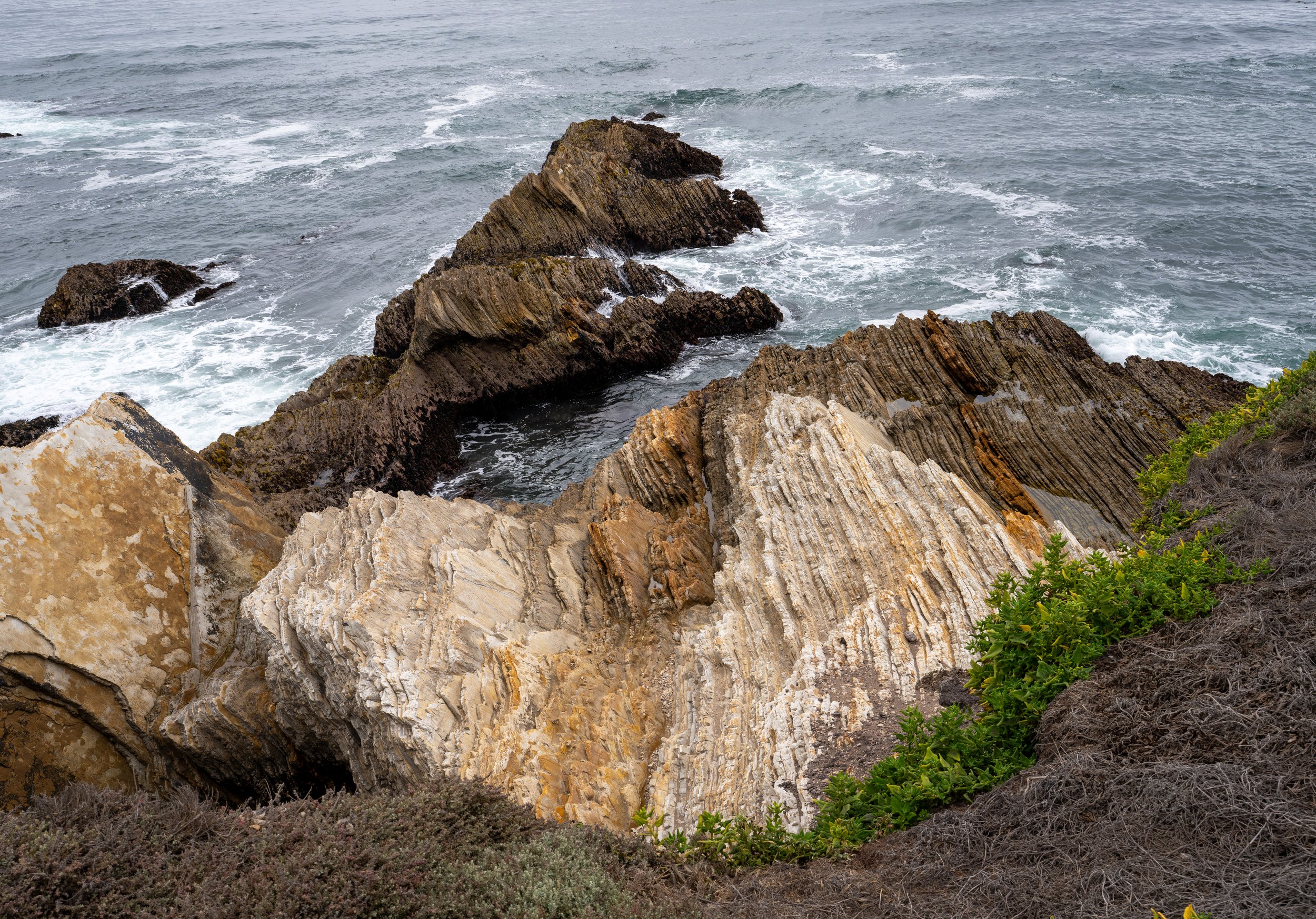
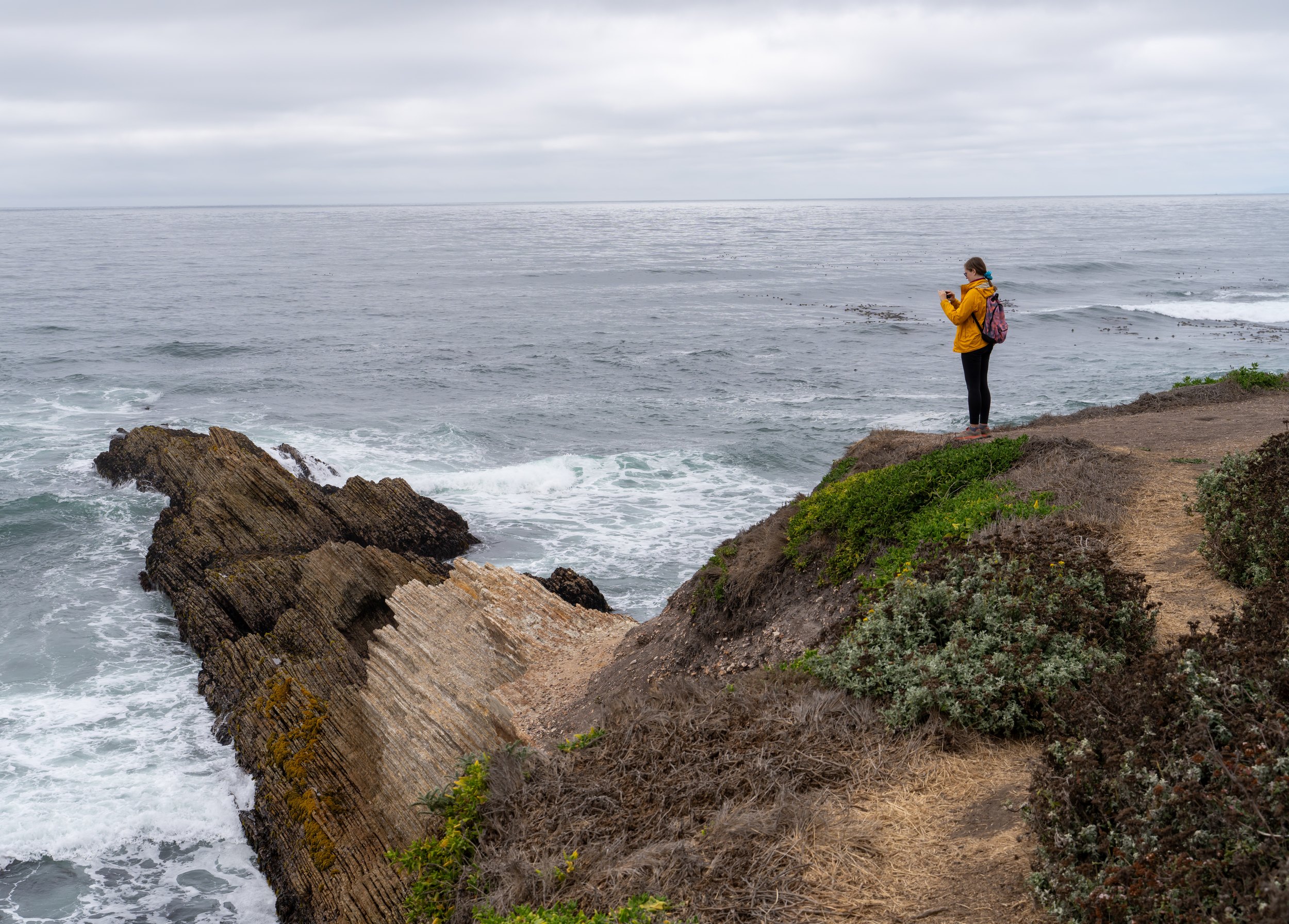
The weather finally improved a little, and we took the coast road south to the Bluff Trail at Montaña de Oro, just south of Morro Bay. It follows the edge of the cliffs, with one interesting rock formation after another. The rock here was laid down as flat layers on the sea floor, about six million years ago, and has since been tipped up on edge, so the layers now meet the waves at an angle. Eventually the trail climbs a little, and we got a hazy look back at Morro Bay. About 5 kilometers altogether, with 100 meters of climbing.
Pismo Beach
We continued down the coast to Pismo Beach for the sunset, and after two days of waiting, the sun came out for the last half hour of the day. We spent the night in an Airbnb in Santa Maria.
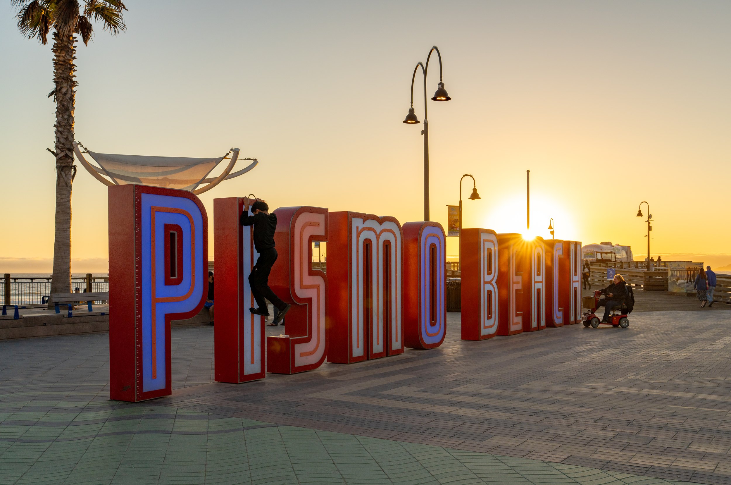
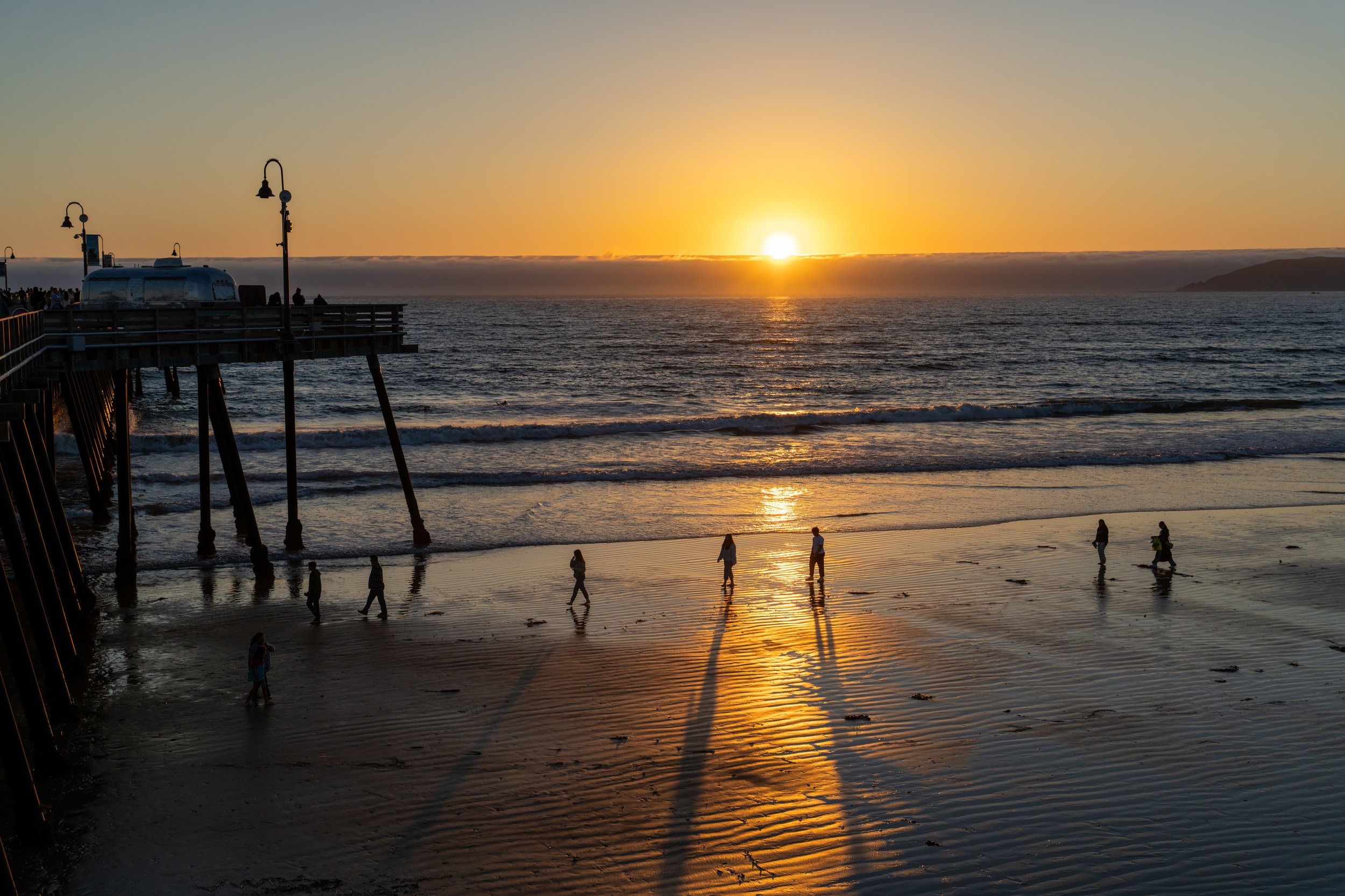
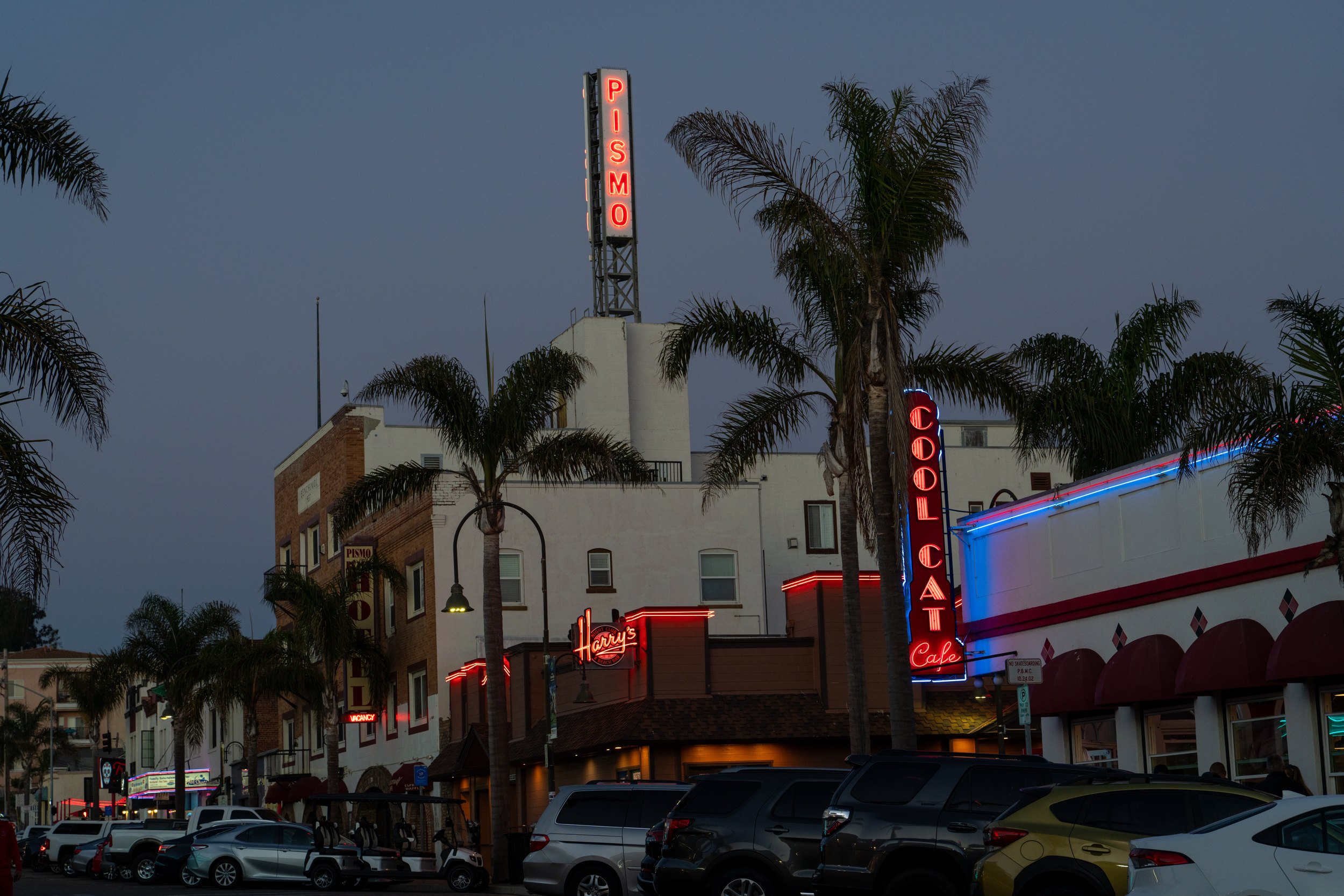
Two days of fog. One sunset. On this coast that is a fair exchange.
Highway 1, the practical stuff
- Is Highway 1 through Big Sur open? — When we drove it in September 2024 it was closed south of Big Sur at Regent’s Slide. Caltrans has since reopened it, but landslides close it regularly, so check Caltrans QuickMap before you set out.
- Where is Bixby Bridge? — About 13 miles south of Carmel on Highway 1, with pullouts for photos near both ends.
- What should you see between San Francisco and Monterey? — We stopped at Shark Fin Cove near Davenport for a short hike, at Natural Bridges in Santa Cruz, and at the tide pools in Monterey.
- Is Morro Bay worth a stop? — Yes. It is like Santa Cruz, but less busy and less touristy, with sea otters in the harbor and sea lions on the rocks.
- How long is the Bluff Trail at Montaña de Oro? — We walked about 5 km with 100 m of climbing, along cliffs with tilted rock formations, just south of Morro Bay.
- What does breakfast cost on the road? — $39 for two waffle breakfasts at Denny’s in King City, September 2024.
- How to book — Rental cars: Hertz and the other big companies; we picked ours up downtown in San Francisco. Motels and rooms: Booking.com and Airbnb. Road conditions: Caltrans QuickMap.
USA 2024 — all posts
- 1 — Chicago, the license in the car visor
- 2 — Highway 1, waiting for the fog to lift
- 3 — Santa Monica, the end of a road I never drove
- 4 — Los Angeles, the road named after the water
- 5 — Crystal Cove, a man who stayed there in 1944
- 6 — Catalina, hitchhiking by golf cart
- 7 — Santa Cruz Island, the dolphins on the way home
- 8 — Joshua Tree, “Don’t die today”
- 9 — Oatman, where the burros have names
- 10 — Grand Canyon, sunrise with a few hundred others
- 11 — Buckskin Gulch, checking the sky first
- 12 — Angels Landing, at seventy
- 13 — Bryce Canyon, hoodoos in the kiln
- 14 — Escalante, the road the Tiguan survived
- 15 — Capitol Reef, the park that was closed
- 16 — Monument Valley, and the ticket we didn’t get
- 17 — Mesa Arch, “Is your name Bo Sjosten?”
- 18 — Arches, nine minutes to spare
- 19 — Sleeping in the back of a Tiguan
- 20 — Permits, lotteries and timed entry in the national parks
- 21 — What things cost in the US, and the tip screen
- 22 — Three weeks in the West: the route, and what I would change