
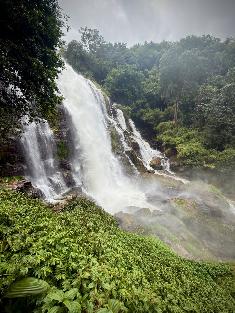
Doi Inthanon, the top of Thailand in the clouds
/
Breakfast at the hotel was not open yet, but I had time to run over to the local 7-Eleven. This made for three strokes of luck: found shoes in the last minute, happened upon a backpack, and had time for a 7-Eleven run. Shows how everything tends to work out in the end.
Got picked up at my hotel at 7:10 AM in a small minivan. I was the second pickup after a Belgian guy. We then drove around town, picking up 9 more people, in total 4 couples and 3 solo travelers (me, the Belgian, and a young Korean girl). A mixed group, Norway, Belgium, Poland, Slovakia, Sweden and two unknown. The Belgian guy was working in AI and we had a good conversation.
Early in the trip we stopped at a rest stop and I had a ham and cheese croissant. We then drove for about an hour and a half to the park.
The top of Thailand
The first stop turned out to be the very top of Thailand, which I had thought would be the hiking goal. A bit of an anticlimax.
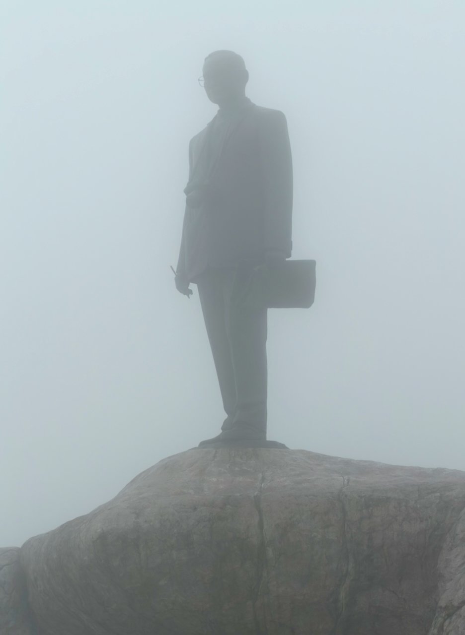
The hike was instead a nature loop with some amazing views. However, not today. We were completely clouded in. A lot of slippery stairs, but my new shandals turned out to have a good grip. Didn’t trip once, but it was a bit nerve-wracking. They had free hiking poles of bamboo, which helped.
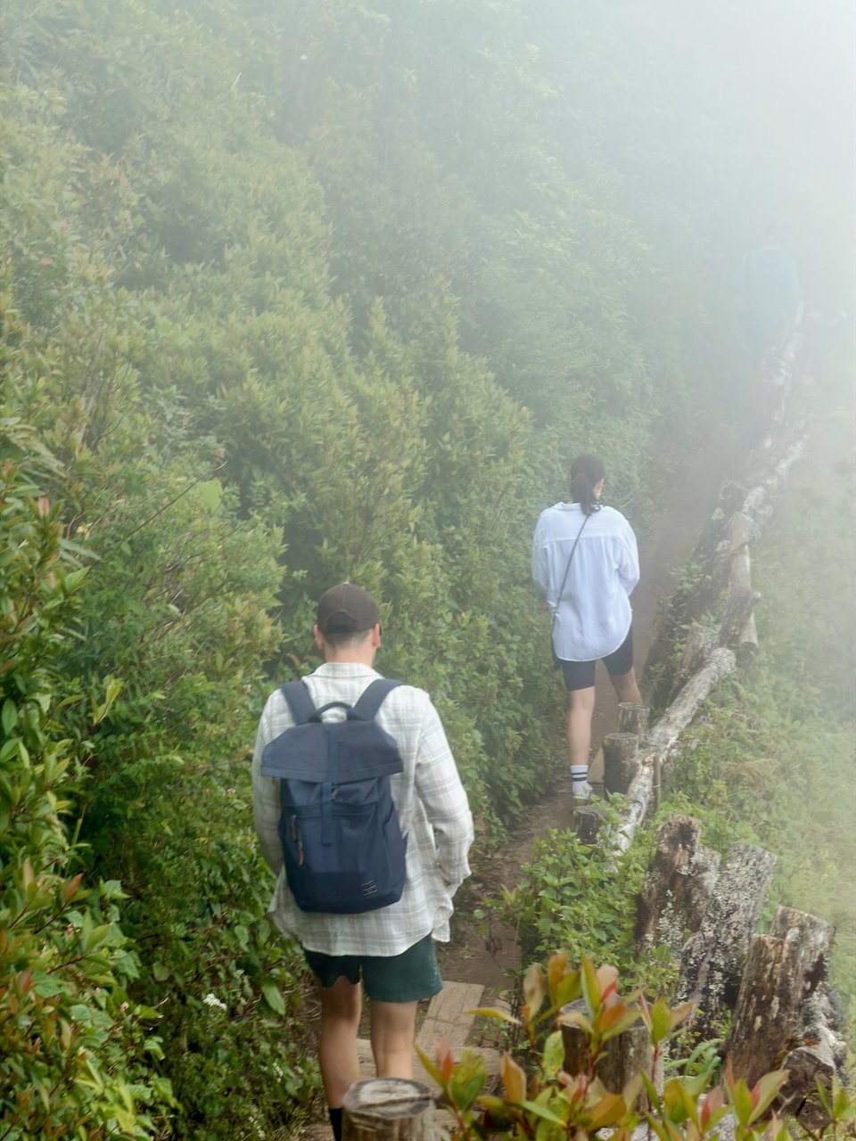
The hike was about 5 km, all either up or down. I was quite tired at the end, maybe because of the elevation, 2500 m. But I recovered quickly.
We then proceeded to the King and Queen pagodas, what would a trip be without some temples? Again, great views but today just clouds and now also a light rain.
Lunch was mostly chicken, rice and vegetables, ok but not great.
A coffee village
Our next stop was a small coffee-producing village with mostly immigrated Burmese, that came around 150 years ago. Very good coffee and tea. We took a stroll around the village.
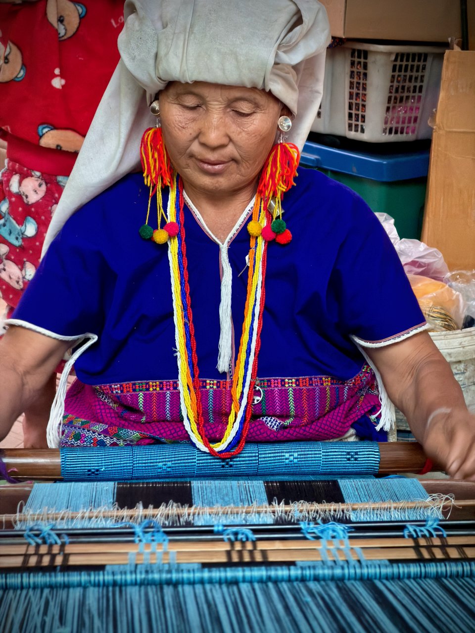
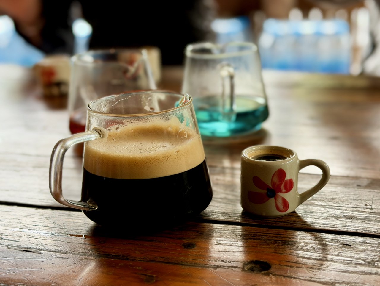
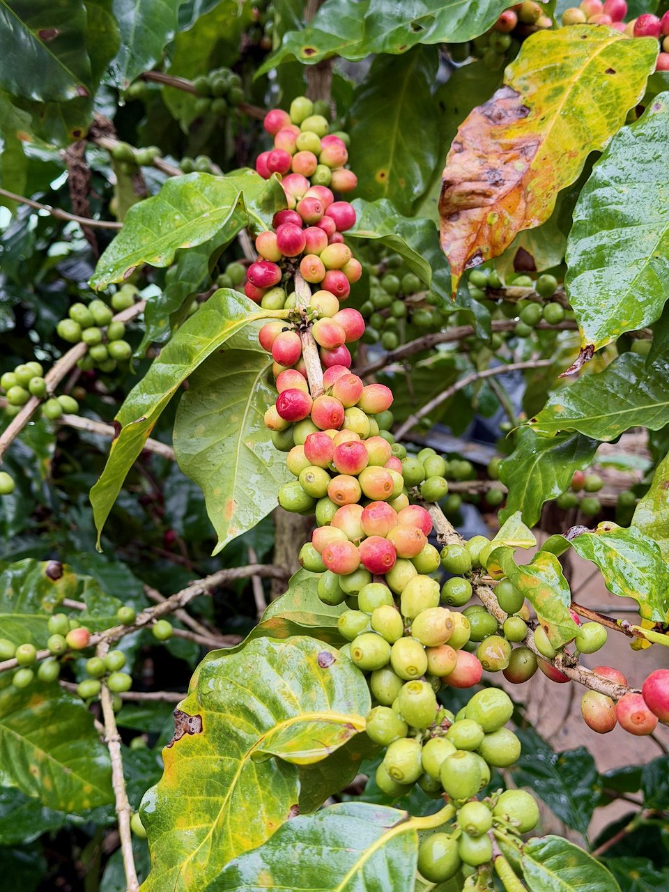
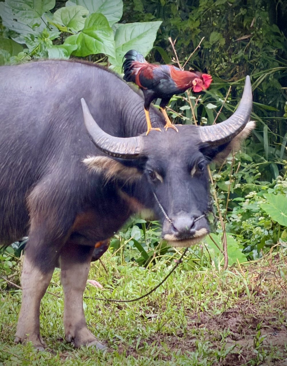
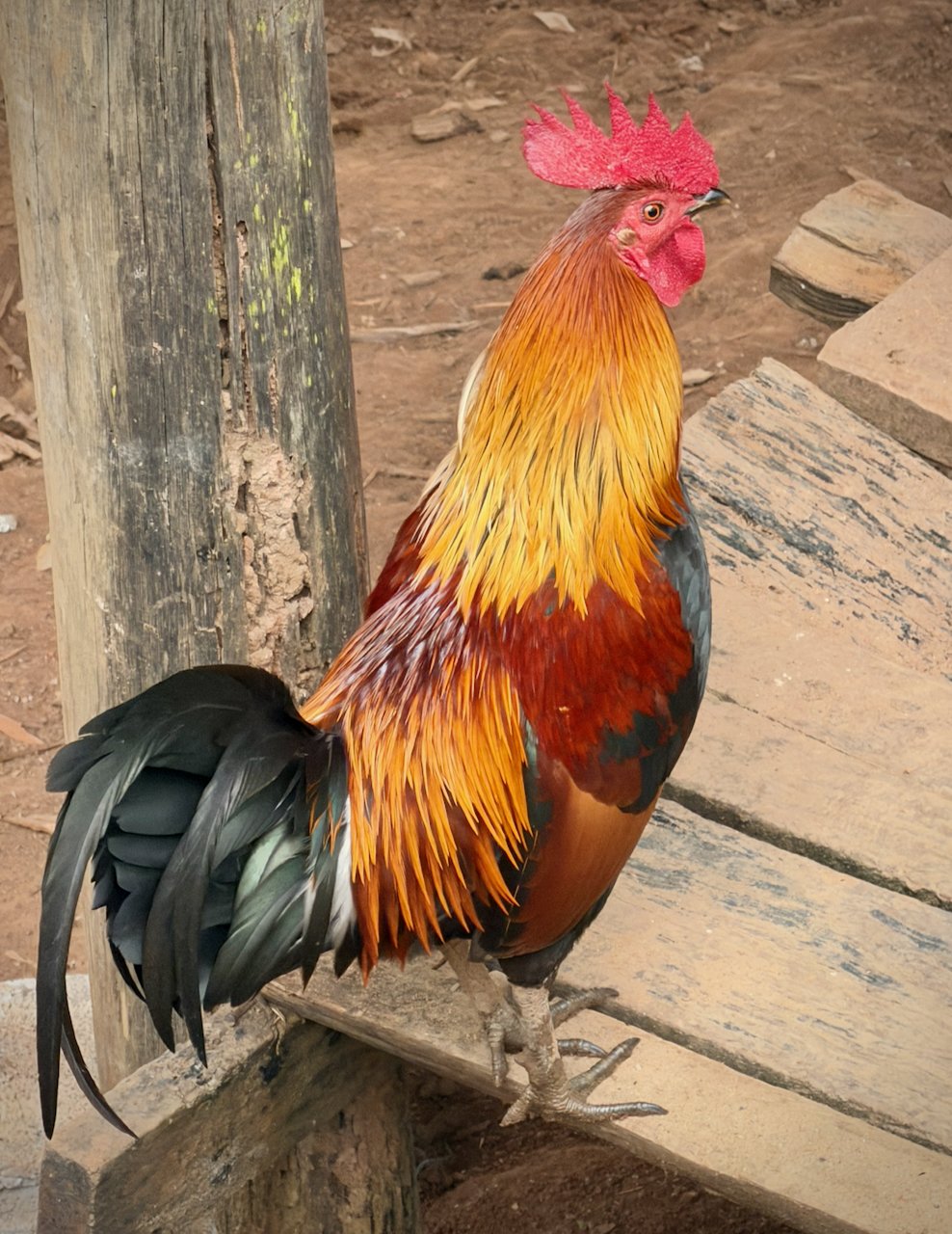
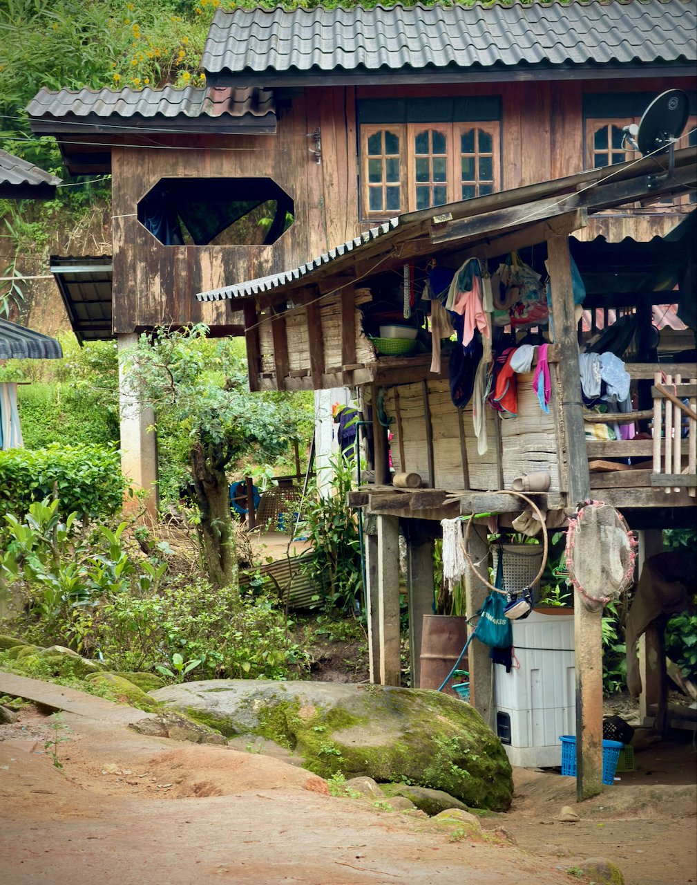
Last stop of the day was a waterfall. Nice, but nothing compared to Yosemite.
About an hour and a half back to Chiang Mai, then another 45 minutes to drop everyone off. I was last…
For dinner I had to quickly dash into a local restaurant as it started to rain. Ordered a shrimp and flat noodle dish. Choices were spicy or medium. I chose medium and almost couldn’t finish, even had a hard time keeping my eyes open. Drank a big Singha beer to wash it all down, and managed to eat it all. But I recovered quickly afterwards, and took a walk down walking street to the east gate and beyond. Had some grapefruit, and then a banana crepe on the way home. And another beer.
Woke up at 12:30 AM worrying about my trip to Pai. Had to get my phone out and actually book a trip before I could go back to sleep.
Doi Inthanon, the practical stuff
- How do you get there? — Most people go on a group day tour from Chiang Mai. The park entrance is about 70 km southwest of the city; my drive took about an hour and a half each way, plus pickups.
- What does it cost? — The park fee for foreign adults is 300 baht (about $9). The twin pagodas charge a separate small fee. Check whether your tour includes them.
- Which trail? — The popular nature trails near the top are short, steep and often wet, with many stairs. Mine was about 5 km. Some trails can only be walked with a local guide; tours arrange that.
- What should you bring? — Shoes with a good grip and a warm layer. At 2,500 meters it was cool, cloudy and raining in November, while Chiang Mai was warm.
- When is it clear? — The cool, dry months from December to February give the best chance of views. In the rainy season, the summit is often in the clouds, as it was for me.
- How to book — Day tours: any agency in Chiang Mai’s old city, or Klook and GetYourGuide. Park information: Thai National Parks. Rides in Chiang Mai: Grab.
Thailand 2025 — all posts
- 1 — Finally Time for Thailand: Starting in Bangkok
- 2 — Chiang Mai, temples, a shoe hunt and the Sunday market
- 3 — Doi Inthanon, the top of Thailand in the clouds
- 4 — Pai, 762 curves, hot springs and the canyon
- 5 — Mae Hong Son by motorbike, two Long Neck villages and a jungle fail
- 6 — Ban Rak Thai, 42 km up the mountain
- 7 — Khao Sok, monkeys, floating huts and sunrise on the lake
- 8 — Phuket, not really my taste
- 9 — Phi Phi, the viewpoint, Maya Bay and a low door frame
- 10 — Koh Lanta, a bungalow, a motorbike and the Lighthouse Bar
- 11 — Railay and Tonsai, wading ashore
- 12 — Bangkok, the train market, the floating market and home
- 13 — Getting around Thailand: planes, vans, longboats and Grab
- 14 — Renting a motorbike in Thailand